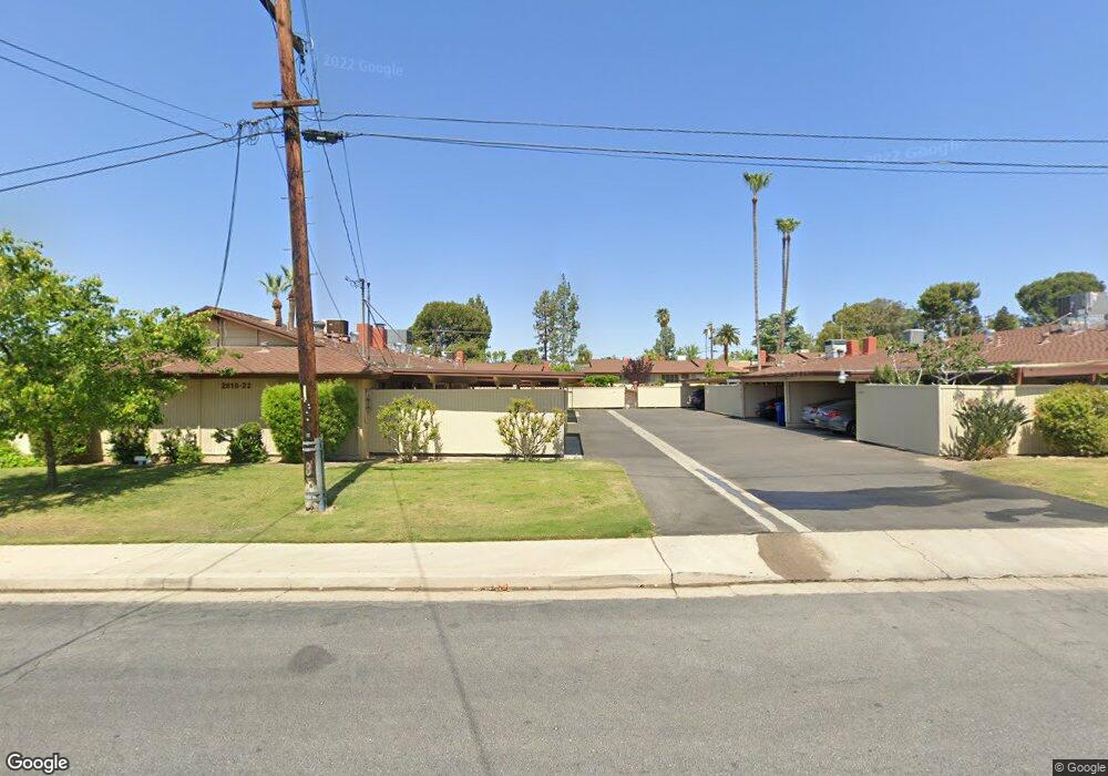
2834 Summit Cir Bakersfield, CA 93306
College Heights NeighborhoodEstimated Value: $215,000 - $264,243
3
Beds
2
Baths
1,454
Sq Ft
$167/Sq Ft
Est. Value
About This Home
This home is located at 2834 Summit Cir, Bakersfield, CA 93306 and is currently estimated at $242,811, approximately $166 per square foot. 2834 Summit Cir is a home located in Kern County with nearby schools including Colonel Howard Nichols Elementary School, Chipman Junior High School, and East Bakersfield High School.
Ownership History
Date
Name
Owned For
Owner Type
Purchase Details
Closed on
Sep 28, 2022
Sold by
Simon Jennifer A and Ruehr Jennifer A
Bought by
Ruehr Family Trust and Ruehr
Current Estimated Value
Purchase Details
Closed on
Nov 16, 2010
Sold by
Nygard Nelda
Bought by
Simon Jennifer A
Home Financials for this Owner
Home Financials are based on the most recent Mortgage that was taken out on this home.
Original Mortgage
$84,800
Interest Rate
4.62%
Create a Home Valuation Report for This Property
The Home Valuation Report is an in-depth analysis detailing your home's value as well as a comparison with similar homes in the area
Home Values in the Area
Average Home Value in this Area
Purchase History
| Date | Buyer | Sale Price | Title Company |
|---|---|---|---|
| Ruehr Family Trust | -- | None Listed On Document | |
| Simon Jennifer A | $106,000 | Placer Title Company |
Source: Public Records
Mortgage History
| Date | Status | Borrower | Loan Amount |
|---|---|---|---|
| Previous Owner | Simon Jennifer A | $84,800 |
Source: Public Records
Tax History
| Year | Tax Paid | Tax Assessment Tax Assessment Total Assessment is a certain percentage of the fair market value that is determined by local assessors to be the total taxable value of land and additions on the property. | Land | Improvement |
|---|---|---|---|---|
| 2025 | $2,214 | $135,792 | $12,806 | $122,986 |
| 2024 | $2,165 | $133,130 | $12,555 | $120,575 |
| 2023 | $2,165 | $130,520 | $12,309 | $118,211 |
| 2022 | $2,110 | $127,962 | $12,068 | $115,894 |
| 2021 | $2,006 | $125,454 | $11,832 | $113,622 |
| 2020 | $2,006 | $124,168 | $11,711 | $112,457 |
| 2019 | $1,930 | $124,168 | $11,711 | $112,457 |
| 2018 | $1,870 | $119,348 | $11,257 | $108,091 |
| 2017 | $1,858 | $117,009 | $11,037 | $105,972 |
| 2016 | $1,708 | $114,716 | $10,821 | $103,895 |
| 2015 | $1,697 | $112,994 | $10,659 | $102,335 |
| 2014 | $1,564 | $110,782 | $10,451 | $100,331 |
Source: Public Records
Map
Nearby Homes
- 2831 Crest Dr
- 2937 Summit Cir
- 2848 Summit Cir
- 2931 Crest Dr
- 2913 Harmony Dr
- 2820 Rio Vista Dr
- 3901 Noel Place
- 3319 Crest Dr
- 3206 Candlewood Dr
- 3516 Dana St Unit 3
- 3516 Dana St Unit 10
- 3313 Century Dr
- 4200 Boise St Unit 16A
- 2801 Kaibab Ave
- 2701 Kaibab Ave
- 3516 Harmony Dr
- 2624 Renegade Ave
- 3612 Christmas Tree Ln
- 2819 Renegade Ave
- 3616 Century Dr
- 2832 Summit Cir
- 2830 Summit Cir
- 2824 Summit Cir
- 2838 Summit Cir
- 2836 Summit Cir
- 2840 Summit Cir
- 2826 Summit Cir
- 2842 Summit Cir
- 2828 Summit Cir
- 2941 Summit Cir
- 4207 Eton St
- 2844 Summit Cir
- 2945 Summit Cir
- 2822 Summit Cir
- 2820 Summit Cir
- 2818 Summit Cir
- 2846 Summit Cir
- 2901 Summit Cir
- 2801 Panorama Dr
- 2807 Panorama Dr
Your Personal Tour Guide
Ask me questions while you tour the home.