2835 Cherokee Dr Mansfield, OH 44903
Estimated Value: $272,000 - $311,000
3
Beds
2
Baths
1,386
Sq Ft
$209/Sq Ft
Est. Value
About This Home
This home is located at 2835 Cherokee Dr, Mansfield, OH 44903 and is currently estimated at $289,092, approximately $208 per square foot. 2835 Cherokee Dr is a home located in Richland County with nearby schools including Madison High School, St. Mary Catholic School, and Temple-Christian School.
Ownership History
Date
Name
Owned For
Owner Type
Purchase Details
Closed on
Dec 16, 1997
Sold by
Hahn Evelyn M
Bought by
Thompson Patricia M and Thompson Laverne B
Current Estimated Value
Home Financials for this Owner
Home Financials are based on the most recent Mortgage that was taken out on this home.
Original Mortgage
$102,000
Outstanding Balance
$17,394
Interest Rate
7.32%
Mortgage Type
New Conventional
Estimated Equity
$271,698
Purchase Details
Closed on
Dec 15, 1992
Sold by
Hahn William R
Bought by
Hahn Evelyn M
Purchase Details
Closed on
Oct 1, 1985
Create a Home Valuation Report for This Property
The Home Valuation Report is an in-depth analysis detailing your home's value as well as a comparison with similar homes in the area
Home Values in the Area
Average Home Value in this Area
Purchase History
| Date | Buyer | Sale Price | Title Company |
|---|---|---|---|
| Thompson Patricia M | $120,000 | -- | |
| Hahn Evelyn M | -- | -- | |
| -- | $72,500 | -- |
Source: Public Records
Mortgage History
| Date | Status | Borrower | Loan Amount |
|---|---|---|---|
| Open | Thompson Patricia M | $102,000 |
Source: Public Records
Tax History Compared to Growth
Tax History
| Year | Tax Paid | Tax Assessment Tax Assessment Total Assessment is a certain percentage of the fair market value that is determined by local assessors to be the total taxable value of land and additions on the property. | Land | Improvement |
|---|---|---|---|---|
| 2024 | $3,772 | $73,140 | $16,490 | $56,650 |
| 2023 | $3,772 | $73,140 | $16,490 | $56,650 |
| 2022 | $2,875 | $51,150 | $13,210 | $37,940 |
| 2021 | $2,874 | $51,150 | $13,210 | $37,940 |
| 2020 | $2,896 | $51,150 | $13,210 | $37,940 |
| 2019 | $2,619 | $43,130 | $11,100 | $32,030 |
| 2018 | $2,597 | $43,130 | $11,100 | $32,030 |
| 2017 | $2,550 | $43,130 | $11,100 | $32,030 |
| 2016 | $2,589 | $42,770 | $10,550 | $32,220 |
| 2015 | $2,547 | $42,770 | $10,550 | $32,220 |
| 2014 | $2,538 | $42,770 | $10,550 | $32,220 |
| 2012 | $1,224 | $45,010 | $11,100 | $33,910 |
Source: Public Records
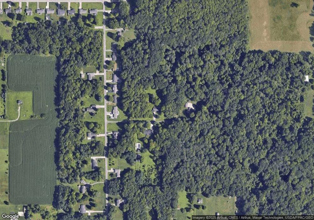
Map
Nearby Homes
- 2750 Lutz Ave
- 2641 State Route 430
- 0 Peterson Rd
- 598 Impala Dr
- 0 Satinwood Dr
- 630 Impala Dr
- 609 Mcbride Rd
- 0 McBride Road Parcel # 1 Unit 9066028
- 2495 Emma Ln
- 640 Running Brook Way
- 2270 Lakecrest Dr Unit 2272
- 3290 Shad Dr W
- 641 Laver Rd
- 76 Ford Rd N
- 76 Ford Rd N Unit 20
- 0 Mcelroy Rd
- 1910 Crider Rd
- 304 Esley Ln
- 1997 Hout Rd
- 19 Maine St
- 2855 Cherokee Dr
- 247 Colonial Dr
- 235 Colonial Dr
- 225 Colonial Dr
- 271 Colonial Dr
- 215 Colonial Dr
- 205 Colonial Dr
- 195 Colonial Dr
- 2771 Cherokee Dr
- 2772 Cherokee Ave
- 2772 Cherokee Dr
- 323 Colonial Dr
- 210 Colonial Dr
- 185 Colonial Dr
- 300 Colonial Dr
- 175 Colonial Dr
- 349 Colonial Dr
- 2804 Lutz Ave
- 2792 Lutz Ave
- 324 Colonial Dr