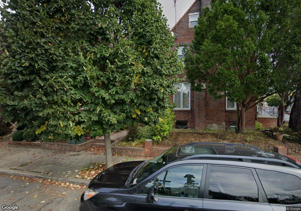
2839 172nd St Flushing, NY 11358
Auburndale NeighborhoodEstimated Value: $870,000 - $928,000
--
Bed
--
Bath
1,504
Sq Ft
$600/Sq Ft
Est. Value
About This Home
This home is located at 2839 172nd St, Flushing, NY 11358 and is currently estimated at $902,474, approximately $600 per square foot. 2839 172nd St is a home located in Queens County with nearby schools including I.S. 25 Adrien Block, Bayside High School, and Our Lady of the Blessed Sacrament Catholic Academy.
Ownership History
Date
Name
Owned For
Owner Type
Purchase Details
Closed on
Jul 12, 2021
Sold by
Swammy Lyndon and Swammy Temporary Guardian
Bought by
Li Shensong
Current Estimated Value
Home Financials for this Owner
Home Financials are based on the most recent Mortgage that was taken out on this home.
Original Mortgage
$444,000
Outstanding Balance
$401,301
Interest Rate
2.93%
Mortgage Type
Purchase Money Mortgage
Estimated Equity
$501,173
Purchase Details
Closed on
Feb 2, 2001
Sold by
Pezzollo Julia and Pezzollo Eugene
Bought by
Swammy Lyndon and Swammy Erica
Home Financials for this Owner
Home Financials are based on the most recent Mortgage that was taken out on this home.
Original Mortgage
$47,400
Interest Rate
7.08%
Create a Home Valuation Report for This Property
The Home Valuation Report is an in-depth analysis detailing your home's value as well as a comparison with similar homes in the area
Home Values in the Area
Average Home Value in this Area
Purchase History
| Date | Buyer | Sale Price | Title Company |
|---|---|---|---|
| Li Shensong | $740,000 | -- | |
| Li Shensong | $740,000 | -- | |
| Swammy Lyndon | $316,000 | -- | |
| Swammy Lyndon | $316,000 | -- |
Source: Public Records
Mortgage History
| Date | Status | Borrower | Loan Amount |
|---|---|---|---|
| Open | Li Shensong | $444,000 | |
| Closed | Li Shensong | $444,000 | |
| Previous Owner | Swammy Lyndon | $47,400 | |
| Closed | Swammy Lyndon | $240,000 |
Source: Public Records
Tax History Compared to Growth
Tax History
| Year | Tax Paid | Tax Assessment Tax Assessment Total Assessment is a certain percentage of the fair market value that is determined by local assessors to be the total taxable value of land and additions on the property. | Land | Improvement |
|---|---|---|---|---|
| 2025 | $7,513 | $38,695 | $5,430 | $33,265 |
| 2024 | $7,513 | $37,404 | $5,990 | $31,414 |
| 2023 | $7,168 | $35,686 | $5,595 | $30,091 |
| 2022 | $6,781 | $47,520 | $8,100 | $39,420 |
| 2021 | $6,490 | $49,260 | $8,100 | $41,160 |
| 2020 | $6,530 | $51,540 | $8,100 | $43,440 |
| 2019 | $6,228 | $53,640 | $8,100 | $45,540 |
| 2018 | $5,764 | $29,738 | $5,031 | $24,707 |
| 2017 | $5,470 | $28,305 | $5,420 | $22,885 |
| 2016 | $5,062 | $28,305 | $5,420 | $22,885 |
| 2015 | $3,001 | $26,872 | $6,890 | $19,982 |
| 2014 | $3,001 | $25,975 | $7,149 | $18,826 |
Source: Public Records
Map
Nearby Homes
- 28-07 172nd St
- 29-31 170th St
- 26-23 Utopia Pkwy
- 29 Avenue
- 29-37 168th St
- 201-05 28th Ave
- 201-20 28th Ave
- 2931 167th St
- 27-01 167th St
- 199-27 26th Ave
- 19929 26th Ave
- 190-16 33rd Ave
- 20015 33rd Ave
- 32-28 202nd St
- 2533 Francis Lewis Blvd
- 25-31 Bayside Ln
- 32-16 167th St
- 32-30 167th St
- 16627 25th Ave
- 3321 201st St
- 28-39 172nd St
- 2837 172nd St
- 2841 172nd St
- 2841 172nd St
- 2835 172nd St
- 2835 172nd St
- 2833 172nd St
- 2846 Utopia Pkwy
- 2844 Utopia Pkwy
- 2848 Utopia Pkwy
- 28-46 Utopia Pkwy
- 2842 Utopia Pkwy
- 2831 172nd St
- 2831 172nd St
- 2844 Utopia Pkwy
- 2840 Utopia Pkwy
- 2829 172nd St
- 28-38 Utopia Pkwy
- 2838 Utopia Pkwy
- 2827 172nd St