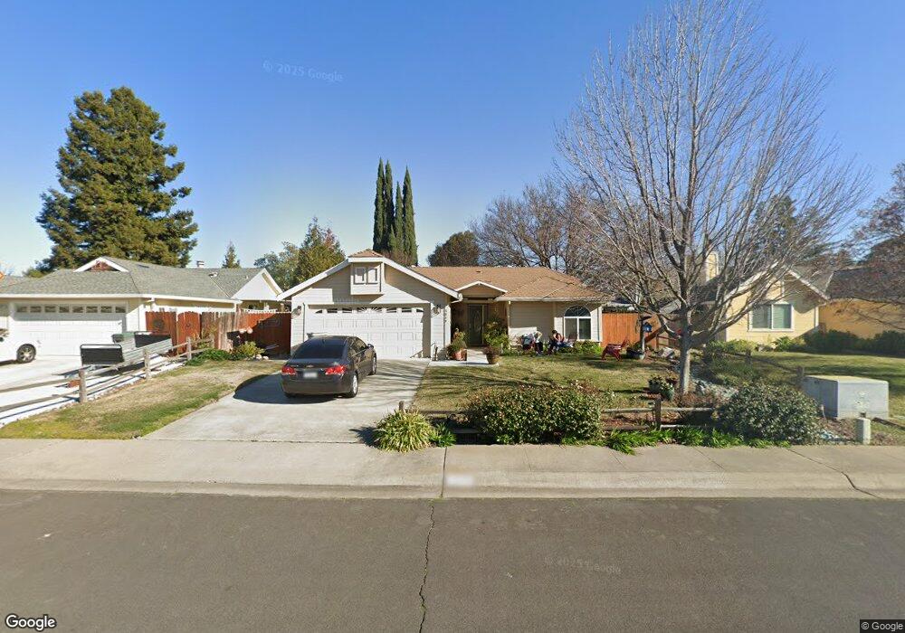
2839 Leslie Ln West Sacramento, CA 95691
Southport NeighborhoodEstimated Value: $441,000 - $516,000
3
Beds
2
Baths
1,148
Sq Ft
$414/Sq Ft
Est. Value
About This Home
This home is located at 2839 Leslie Ln, West Sacramento, CA 95691 and is currently estimated at $475,791, approximately $414 per square foot. 2839 Leslie Ln is a home located in Yolo County with nearby schools including Southport Elementary School, River City High, and Our Lady Of Grace.
Ownership History
Date
Name
Owned For
Owner Type
Purchase Details
Closed on
Apr 26, 2018
Sold by
Heredia Carol E
Bought by
Heredia Carol and The Carol Heredia Family Trust
Current Estimated Value
Purchase Details
Closed on
Jun 18, 1998
Sold by
Commercial Credit Corp
Bought by
Heredia Carol E
Home Financials for this Owner
Home Financials are based on the most recent Mortgage that was taken out on this home.
Original Mortgage
$89,600
Outstanding Balance
$18,112
Interest Rate
7.17%
Estimated Equity
$457,679
Purchase Details
Closed on
Mar 18, 1998
Sold by
Mendez Ernesto A and Mendez Maria A
Bought by
Commercial Credit Corp
Create a Home Valuation Report for This Property
The Home Valuation Report is an in-depth analysis detailing your home's value as well as a comparison with similar homes in the area
Home Values in the Area
Average Home Value in this Area
Purchase History
| Date | Buyer | Sale Price | Title Company |
|---|---|---|---|
| Heredia Carol | -- | None Available | |
| Heredia Carol E | $112,000 | Fidelity National Title Co | |
| Commercial Credit Corp | $10,400 | First American Title Ins Co |
Source: Public Records
Mortgage History
| Date | Status | Borrower | Loan Amount |
|---|---|---|---|
| Open | Heredia Carol E | $89,600 |
Source: Public Records
Tax History Compared to Growth
Tax History
| Year | Tax Paid | Tax Assessment Tax Assessment Total Assessment is a certain percentage of the fair market value that is determined by local assessors to be the total taxable value of land and additions on the property. | Land | Improvement |
|---|---|---|---|---|
| 2025 | $2,268 | $178,809 | $39,905 | $138,904 |
| 2023 | $2,268 | $171,867 | $38,356 | $133,511 |
| 2022 | $2,118 | $168,498 | $37,604 | $130,894 |
| 2021 | $2,098 | $165,195 | $36,867 | $128,328 |
| 2020 | $2,003 | $163,502 | $36,489 | $127,013 |
| 2019 | $1,978 | $160,297 | $35,774 | $124,523 |
| 2018 | $1,955 | $157,155 | $35,073 | $122,082 |
| 2017 | $1,996 | $154,075 | $34,386 | $119,689 |
| 2016 | $1,967 | $151,055 | $33,712 | $117,343 |
| 2015 | $1,782 | $148,787 | $33,206 | $115,581 |
| 2014 | $1,782 | $145,873 | $32,556 | $113,317 |
Source: Public Records
Map
Nearby Homes
- 2893 Mergansers Ct
- 3016 Canvasback Way
- 2972 Violet Dr
- 2857 Kimberly Ct
- 2961 Anacapa Island Ct
- 3235 Santa Cruz Rd
- 2669 Tyler Way
- 2586 Duet Dr
- 2893 Pitzer Cir
- 2586 Lagoon Ln
- 2556 Duet Dr
- 3270 Rivermont St
- 3244 Ballena Bay Rd
- 3147 Grizzly Bay Rd
- 32508 Jefferson Blvd
- 2726 Paradise Way
- 3226 Farallon Rd
- 2616 Independence Ave
- 2617 Independence Ave
- 3175 Jefferson Blvd