284 Bean Rd Moultonborough, NH 03254
Estimated Value: $650,000 - $974,000
3
Beds
3
Baths
2,745
Sq Ft
$291/Sq Ft
Est. Value
About This Home
This home is located at 284 Bean Rd, Moultonborough, NH 03254 and is currently estimated at $798,669, approximately $290 per square foot. 284 Bean Rd is a home with nearby schools including Moultonborough Central School, Moultonborough Academy High School, and Immaculate Conception Apostolic School.
Ownership History
Date
Name
Owned For
Owner Type
Purchase Details
Closed on
Nov 23, 2016
Sold by
Mcintire Constance E
Bought by
Mcintire Constance E and Richardson Lisa J
Current Estimated Value
Home Financials for this Owner
Home Financials are based on the most recent Mortgage that was taken out on this home.
Original Mortgage
$208,500
Outstanding Balance
$169,432
Interest Rate
3.47%
Mortgage Type
New Conventional
Estimated Equity
$629,237
Create a Home Valuation Report for This Property
The Home Valuation Report is an in-depth analysis detailing your home's value as well as a comparison with similar homes in the area
Home Values in the Area
Average Home Value in this Area
Purchase History
| Date | Buyer | Sale Price | Title Company |
|---|---|---|---|
| Mcintire Constance E | -- | -- |
Source: Public Records
Mortgage History
| Date | Status | Borrower | Loan Amount |
|---|---|---|---|
| Open | Mcintire Constance E | $208,500 | |
| Previous Owner | Mcintire Constance E | $230,000 |
Source: Public Records
Tax History Compared to Growth
Tax History
| Year | Tax Paid | Tax Assessment Tax Assessment Total Assessment is a certain percentage of the fair market value that is determined by local assessors to be the total taxable value of land and additions on the property. | Land | Improvement |
|---|---|---|---|---|
| 2024 | $4,087 | $723,300 | $281,600 | $441,700 |
| 2023 | $3,622 | $635,400 | $202,800 | $432,600 |
| 2022 | $2,831 | $592,200 | $213,600 | $378,600 |
| 2021 | $3,586 | $513,700 | $182,400 | $331,300 |
| 2020 | $3,506 | $491,700 | $182,400 | $309,300 |
| 2019 | $3,505 | $490,200 | $180,300 | $309,900 |
| 2018 | $3,719 | $481,800 | $174,000 | $307,800 |
| 2017 | $3,655 | $444,700 | $174,000 | $270,700 |
| 2016 | $3,699 | $423,200 | $174,000 | $249,200 |
| 2015 | $3,681 | $408,500 | $186,400 | $222,100 |
| 2014 | $3,638 | $410,600 | $186,400 | $224,200 |
| 2013 | $3,253 | $374,300 | $186,400 | $187,900 |
Source: Public Records
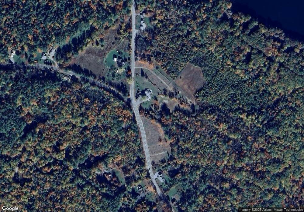
Map
Nearby Homes
- 52 Chase Cir
- 53 Bay Dr
- 00 Whittier Hwy Unit 8
- 38 Lake Shore Dr Unit 12
- 38 Lake Shore Dr Unit 10
- 24 Dew Point Ln
- 100 Marvin Rd
- 525 Whittier Hwy
- 320 Redding Ln
- 46 Laurel Island Ln
- 30 Westwind Shores Rd Unit 30
- 33 Blackadar Ln
- 4 Schneider Rd
- 00 Gilman Hill Rd Unit 1
- 647 Whittier Hwy
- 203 Krainewood Dr
- M:027 L:002-001 Sheridan Rd
- M:027 L:002 Sheridan Rd
- 69 Buoniello Rd
- 122 Toltec Point Rd
- 00 High Haith Rd
- 308 Bean Rd
- 289 Bean Rd
- 50 Westwood Shores Rd
- 42 Westwood Shores Rd
- 26 Horizon Way
- 46 Daigneau Dr
- 000 Bean Rd
- 19 High Haith Rd
- 254 Bean Rd
- 18 Daigneau Dr
- 26 Daigneau Dr
- 251 Bean Rd
- 00 Sibley Rd
- 00 Sibley Rd Unit 20
- 54 Westwood Shores Rd
- 23 High Haith Rd
- 324 Bean Rd
- 9 Cross Rd
- 18 Sibley Rd