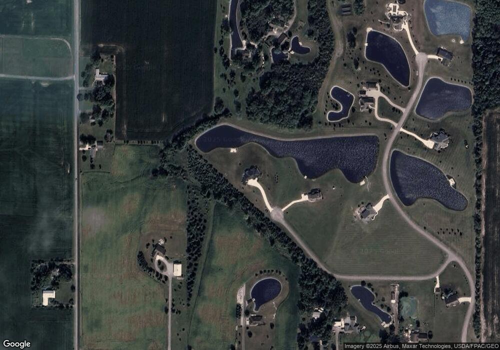
284 Coyote Trail Bluffton, OH 45817
Estimated Value: $405,000 - $672,724
4
Beds
3
Baths
3,107
Sq Ft
$178/Sq Ft
Est. Value
About This Home
This home is located at 284 Coyote Trail, Bluffton, OH 45817 and is currently estimated at $554,431, approximately $178 per square foot. 284 Coyote Trail is a home with nearby schools including Cory-Rawson Elementary School and Cory-Rawson High School.
Ownership History
Date
Name
Owned For
Owner Type
Purchase Details
Closed on
Aug 7, 2015
Bought by
Kruse Nathan D and Kruse Rebecca J
Current Estimated Value
Home Financials for this Owner
Home Financials are based on the most recent Mortgage that was taken out on this home.
Interest Rate
3.91%
Purchase Details
Closed on
Dec 1, 2006
Sold by
Snyder Donald L and Snyder Dimale
Bought by
Mcvetta Brad A
Home Financials for this Owner
Home Financials are based on the most recent Mortgage that was taken out on this home.
Original Mortgage
$38,935
Interest Rate
6.27%
Mortgage Type
Unknown
Create a Home Valuation Report for This Property
The Home Valuation Report is an in-depth analysis detailing your home's value as well as a comparison with similar homes in the area
Home Values in the Area
Average Home Value in this Area
Purchase History
| Date | Buyer | Sale Price | Title Company |
|---|---|---|---|
| Kruse Nathan D | $75,000 | -- | |
| Mcvetta Brad A | $59,900 | Attorney |
Source: Public Records
Mortgage History
| Date | Status | Borrower | Loan Amount |
|---|---|---|---|
| Closed | Kruse Nathan D | -- | |
| Previous Owner | Mcvetta Brad A | $38,935 |
Source: Public Records
Tax History Compared to Growth
Tax History
| Year | Tax Paid | Tax Assessment Tax Assessment Total Assessment is a certain percentage of the fair market value that is determined by local assessors to be the total taxable value of land and additions on the property. | Land | Improvement |
|---|---|---|---|---|
| 2024 | $5,816 | $183,880 | $22,130 | $161,750 |
| 2023 | $5,795 | $183,880 | $22,130 | $161,750 |
| 2022 | $5,824 | $183,880 | $22,130 | $161,750 |
| 2021 | $4,976 | $142,550 | $23,290 | $119,260 |
| 2020 | $4,983 | $142,550 | $23,290 | $119,260 |
| 2019 | $4,867 | $142,550 | $23,290 | $119,260 |
| 2018 | $4,303 | $131,520 | $12,260 | $119,260 |
| 2017 | $1,119 | $68,310 | $12,260 | $56,050 |
| 2016 | $372 | $10,860 | $10,860 | $0 |
| 2015 | $335 | $10,860 | $10,860 | $0 |
| 2014 | $338 | $10,860 | $10,860 | $0 |
| 2012 | $371 | $10,860 | $10,860 | $0 |
Source: Public Records
Map
Nearby Homes
- 20515 County Road 15
- 0 Ohio 103
- 0 State Route 103
- 222 N Lawn Ave
- 136 N Spring St
- 135 Grove St
- 217 Grove St
- 222 Grove St
- 430 S Jackson St
- 513 S Jackson St
- 301 Parkview Dr
- 303 Parkview Dr
- 305 Parkview Dr
- 307 Parkview Dr
- 313 Parkview Dr
- 315 Parkview Dr
- 317 Parkview Dr
- 319 Parkview Dr
- 321 Parkview Dr
- 327 Parkview Dr
- 320 Coyote Trail
- 1215 State Route 103
- 764 County Road 29
- 675 County Road 29
- 0 Township Road 51
- 000 Township Road 51
- 1310 County Road 29
- 0 Navajo Dr
- 20073 Township Road 51
- 604 County Road 29
- 599 County Road 29
- 851 State Route
- 851 State Route 103
- 851 Sr
- 851 Ohio 103
- 596 Cr
- 596 County Rd
- 855 Ohio 103
- 1465 State Route
