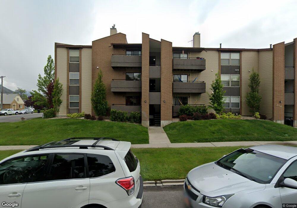
284 E 600 N Provo, UT 84606
Joaquin NeighborhoodEstimated Value: $381,332 - $403,000
2
Beds
2
Baths
961
Sq Ft
$405/Sq Ft
Est. Value
About This Home
This home is located at 284 E 600 N, Provo, UT 84606 and is currently estimated at $389,111, approximately $404 per square foot. 284 E 600 N is a home located in Utah County with nearby schools including Provo Peaks School, Centennial Middle School, and Timpview High School.
Ownership History
Date
Name
Owned For
Owner Type
Purchase Details
Closed on
Jan 21, 2010
Sold by
Watabe Masahisa and Watabe Faith M
Bought by
Watabe Masahisa and Watabe Faith M
Current Estimated Value
Purchase Details
Closed on
Aug 12, 1999
Sold by
Watabe Rebecca S and Watabe Masahisa
Bought by
Watabe Masahia and Watabe Faith M
Home Financials for this Owner
Home Financials are based on the most recent Mortgage that was taken out on this home.
Original Mortgage
$78,000
Interest Rate
7.47%
Create a Home Valuation Report for This Property
The Home Valuation Report is an in-depth analysis detailing your home's value as well as a comparison with similar homes in the area
Home Values in the Area
Average Home Value in this Area
Purchase History
| Date | Buyer | Sale Price | Title Company |
|---|---|---|---|
| Watabe Masahisa | -- | None Available | |
| Watabe Masahia | -- | Provo Land Title Company |
Source: Public Records
Mortgage History
| Date | Status | Borrower | Loan Amount |
|---|---|---|---|
| Closed | Watabe Masahia | $78,000 |
Source: Public Records
Tax History
| Year | Tax Paid | Tax Assessment Tax Assessment Total Assessment is a certain percentage of the fair market value that is determined by local assessors to be the total taxable value of land and additions on the property. | Land | Improvement |
|---|---|---|---|---|
| 2025 | $1,910 | $194,700 | -- | -- |
| 2024 | $1,910 | $188,045 | $0 | $0 |
| 2023 | $2,149 | $208,505 | $0 | $0 |
| 2022 | $1,958 | $191,565 | $0 | $0 |
| 2021 | $1,646 | $280,900 | $33,700 | $247,200 |
| 2020 | $1,623 | $259,700 | $31,200 | $228,500 |
| 2019 | $1,412 | $235,000 | $28,500 | $206,500 |
| 2018 | $1,393 | $235,000 | $28,500 | $206,500 |
| 2017 | $1,183 | $109,725 | $0 | $0 |
| 2016 | $1,175 | $101,585 | $0 | $0 |
| 2015 | $1,077 | $94,050 | $0 | $0 |
| 2014 | $1,033 | $94,050 | $0 | $0 |
Source: Public Records
Map
Nearby Homes
- 466 N 200 E
- 433 N 300 E
- 394 N 300 E
- 232 E 400 N
- 380 N 200 E
- 136 E 400 N Unit 108
- 136 E 400 N Unit 107
- 541 E 500 N Unit 12
- 232 E 300 N
- 639 N University Ave Unit 10
- 386 N 500 E
- 364 N 500 E
- 261 N 400 E Unit 301
- 246 N 200 E
- 36 W 700 N Unit 206
- 620 N 100 St W
- 948 N 50 E Unit 301
- 240 N 500 East St
- 194 N 100 E
- 735 E 620 N
Your Personal Tour Guide
Ask me questions while you tour the home.