284 Kira Ln Merlin, OR 97532
Estimated Value: $686,450 - $727,000
3
Beds
3
Baths
2,608
Sq Ft
$271/Sq Ft
Est. Value
About This Home
This home is located at 284 Kira Ln, Merlin, OR 97532 and is currently estimated at $706,725, approximately $270 per square foot. 284 Kira Ln is a home located in Josephine County with nearby schools including Manzanita Elementary School, Fleming Middle School, and North Valley High School.
Ownership History
Date
Name
Owned For
Owner Type
Purchase Details
Closed on
Apr 22, 2021
Sold by
Juna Sandor and Wilton Kuna M
Bought by
Wilton Kuna M Diedre and Kuna Sandor
Current Estimated Value
Home Financials for this Owner
Home Financials are based on the most recent Mortgage that was taken out on this home.
Original Mortgage
$250,000
Outstanding Balance
$186,405
Interest Rate
3%
Mortgage Type
New Conventional
Estimated Equity
$520,320
Purchase Details
Closed on
Jun 6, 2013
Sold by
Thomas Delton D and Thomas Marian E
Bought by
Kuna Sandor and Diedre Wilton M
Home Financials for this Owner
Home Financials are based on the most recent Mortgage that was taken out on this home.
Original Mortgage
$279,000
Interest Rate
3.37%
Mortgage Type
New Conventional
Create a Home Valuation Report for This Property
The Home Valuation Report is an in-depth analysis detailing your home's value as well as a comparison with similar homes in the area
Home Values in the Area
Average Home Value in this Area
Purchase History
| Date | Buyer | Sale Price | Title Company |
|---|---|---|---|
| Wilton Kuna M Diedre | -- | None Available | |
| Kuna Sandor | $310,000 | Ticor Title |
Source: Public Records
Mortgage History
| Date | Status | Borrower | Loan Amount |
|---|---|---|---|
| Open | Wilton Kuna M Diedre | $250,000 | |
| Previous Owner | Kuna Sandor | $279,000 |
Source: Public Records
Tax History Compared to Growth
Tax History
| Year | Tax Paid | Tax Assessment Tax Assessment Total Assessment is a certain percentage of the fair market value that is determined by local assessors to be the total taxable value of land and additions on the property. | Land | Improvement |
|---|---|---|---|---|
| 2025 | $2,682 | $371,490 | -- | -- |
| 2024 | $2,682 | $360,670 | -- | -- |
| 2023 | $2,192 | $350,170 | $0 | $0 |
| 2022 | $2,214 | $339,980 | $0 | $0 |
| 2021 | $2,139 | $330,080 | $0 | $0 |
| 2020 | $2,164 | $320,470 | $0 | $0 |
| 2019 | $2,078 | $311,140 | $0 | $0 |
| 2018 | $2,106 | $302,080 | $0 | $0 |
| 2017 | $2,106 | $293,290 | $0 | $0 |
| 2016 | $1,714 | $273,060 | $0 | $0 |
| 2015 | $1,655 | $265,110 | $0 | $0 |
| 2014 | $1,613 | $257,390 | $0 | $0 |
Source: Public Records
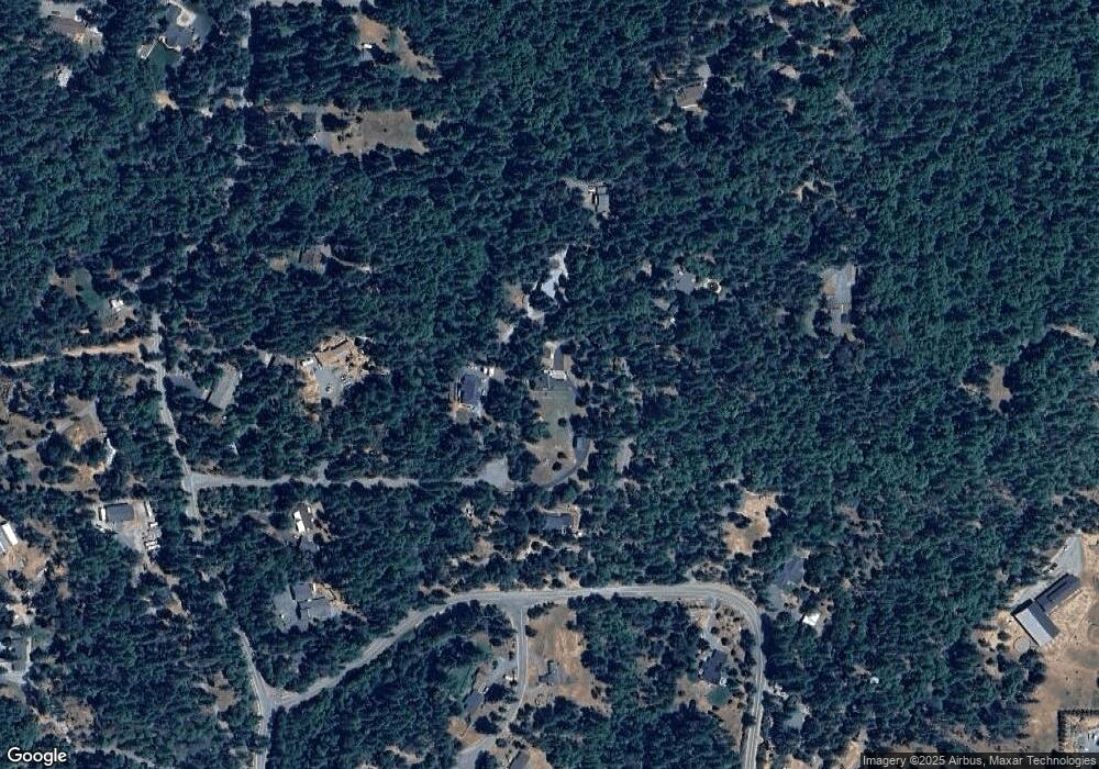
Map
Nearby Homes
- 965 Galice Rd Unit 11
- 370 Becklin Dr
- 1730 Hugo Rd
- 1625 Crow Rd
- 1740 Hugo Rd
- 539 Highland Ranch Rd
- 2440 Hugo Rd
- 1580 Robertson Bridge Rd
- 387 Tavis Dr
- 1266 Ellison Loop
- 298 Tavis Dr
- 335 Tavis Dr
- 2670 Robertson Bridge Rd
- 171 Almond St
- 231 Acorn St
- 1222 Ellison Loop
- 221 Acorn St
- 185 Peach St
- 0 Acorn St Unit Lot 1
- 0 Acorn St Unit Lot 3