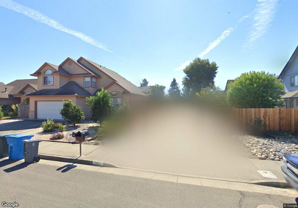
284 Michael Dr Santa Rosa, CA 95401
Copperfield NeighborhoodEstimated Value: $690,000 - $753,000
3
Beds
3
Baths
1,675
Sq Ft
$424/Sq Ft
Est. Value
About This Home
This home is located at 284 Michael Dr, Santa Rosa, CA 95401 and is currently estimated at $710,855, approximately $424 per square foot. 284 Michael Dr is a home located in Sonoma County with nearby schools including J.X. Wilson Elementary School, Elsie Allen High School, and Wright Charter.
Ownership History
Date
Name
Owned For
Owner Type
Purchase Details
Closed on
Jun 3, 1994
Sold by
Mavorich Bros Construction Inc
Bought by
Morton Melyn R
Current Estimated Value
Home Financials for this Owner
Home Financials are based on the most recent Mortgage that was taken out on this home.
Original Mortgage
$156,000
Interest Rate
4.87%
Create a Home Valuation Report for This Property
The Home Valuation Report is an in-depth analysis detailing your home's value as well as a comparison with similar homes in the area
Home Values in the Area
Average Home Value in this Area
Purchase History
| Date | Buyer | Sale Price | Title Company |
|---|---|---|---|
| Morton Melyn R | $195,000 | North American Title Company |
Source: Public Records
Mortgage History
| Date | Status | Borrower | Loan Amount |
|---|---|---|---|
| Closed | Morton Melyn R | $156,000 |
Source: Public Records
Tax History
| Year | Tax Paid | Tax Assessment Tax Assessment Total Assessment is a certain percentage of the fair market value that is determined by local assessors to be the total taxable value of land and additions on the property. | Land | Improvement |
|---|---|---|---|---|
| 2025 | $3,569 | $311,345 | $135,714 | $175,631 |
| 2024 | $3,569 | $305,241 | $133,053 | $172,188 |
| 2023 | $3,569 | $299,257 | $130,445 | $168,812 |
| 2022 | $3,369 | $293,390 | $127,888 | $165,502 |
| 2021 | $3,230 | $287,638 | $125,381 | $162,257 |
| 2020 | $3,217 | $284,690 | $124,096 | $160,594 |
| 2019 | $3,186 | $279,109 | $121,663 | $157,446 |
| 2018 | $3,161 | $273,637 | $119,278 | $154,359 |
| 2017 | $3,095 | $268,273 | $116,940 | $151,333 |
| 2016 | $3,061 | $263,014 | $114,648 | $148,366 |
| 2015 | $2,964 | $259,064 | $112,926 | $146,138 |
| 2014 | $2,852 | $253,990 | $110,714 | $143,276 |
Source: Public Records
Map
Nearby Homes
- 2174 Longhorn Cir
- 2305 Cross Ave
- 307 Occidental Cir
- 359 Occidental Cir
- 146 Westgate Cir
- 228 Regency Ct
- 211 Regency Ct
- 418 Occidental Cir
- 175 Westgate Cir
- 305 Westmont Place
- 24 Leisure Park Cir
- 43 Westgate Cir
- 3669 Sebastopol Rd
- 2100 Sebastopol Rd
- 104 Leisure Park Cir
- 4025 Sebastopol Rd
- 98 Leisure Park Cir
- 3840 Martina Ave Unit 104
- 527 Natalino Ct
- 950 Campoy St Unit 101
- 2178 Longhorn Cir
- 280 Michael Dr
- 316 Michael Dr
- 276 Michael Dr
- 312 Michael Dr
- 2175 Rachel Dr
- 2173 Rachel Dr Unit 1
- 2177 Rachel Dr
- 310 Michael Dr Unit 2
- 2171 Rachel Dr
- 272 Michael Dr
- 2179 Rachel Dr
- 2169 Rachel Dr
- 2170 Longhorn Cir
- 2167 Rachel Dr Unit 1
- 285 Michael Dr
- 289 Michael Dr
- 2186 Longhorn Cir
- 307 Michael Dr Unit 2
- 309 Michael Dr
Your Personal Tour Guide
Ask me questions while you tour the home.