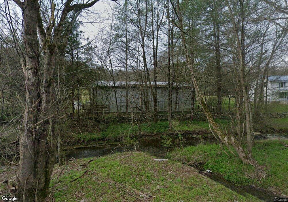
284 Pig Branch Rd Brush Creek, TN 38547
Estimated Value: $302,000 - $419,646
--
Bed
1
Bath
1,350
Sq Ft
$271/Sq Ft
Est. Value
About This Home
This home is located at 284 Pig Branch Rd, Brush Creek, TN 38547 and is currently estimated at $365,549, approximately $270 per square foot. 284 Pig Branch Rd is a home located in Smith County with nearby schools including New Middleton Elementary School and Gordonsville High School.
Ownership History
Date
Name
Owned For
Owner Type
Purchase Details
Closed on
Sep 13, 2023
Sold by
Moore Paul Basil and Ann Moore Benson Miriam
Bought by
Moore Paul B and Ann Moore Benson Miriam
Current Estimated Value
Purchase Details
Closed on
Jan 2, 2018
Sold by
Phifer Frances Elizabeth Moore and Moore James Bradley
Bought by
Moore Moore Paul Basil Paul Basil and Moore Benson Miriam Ann
Purchase Details
Closed on
Dec 28, 2017
Sold by
Moore Paul Basil and Estate Of Toy Kenneth Moore
Bought by
Moore Paul Basil and Moore Phifer Frances Elizabeth
Purchase Details
Closed on
Nov 3, 2017
Sold by
Anderson Oakley and Anderson Kelly
Bought by
Anderson Ronnie
Purchase Details
Closed on
Jul 2, 1999
Sold by
Kenneth Moore Roy
Bought by
Moore Roy K
Purchase Details
Closed on
Apr 19, 1986
Bought by
Moore Roy Kenneth
Purchase Details
Closed on
Apr 21, 1923
Purchase Details
Closed on
Sep 27, 1919
Purchase Details
Closed on
Nov 28, 1910
Create a Home Valuation Report for This Property
The Home Valuation Report is an in-depth analysis detailing your home's value as well as a comparison with similar homes in the area
Home Values in the Area
Average Home Value in this Area
Purchase History
| Date | Buyer | Sale Price | Title Company |
|---|---|---|---|
| Moore Paul B | -- | None Listed On Document | |
| Moore Paul B | -- | None Listed On Document | |
| Moore Moore Paul Basil Paul Basil | $100,000 | None Available | |
| Moore Paul Basil | -- | None Available | |
| Anderson Ronnie | $53,444 | None Available | |
| Moore Roy K | $45,000 | -- | |
| Moore Roy Kenneth | -- | -- | |
| -- | -- | -- | |
| -- | -- | -- | |
| -- | -- | -- |
Source: Public Records
Tax History Compared to Growth
Tax History
| Year | Tax Paid | Tax Assessment Tax Assessment Total Assessment is a certain percentage of the fair market value that is determined by local assessors to be the total taxable value of land and additions on the property. | Land | Improvement |
|---|---|---|---|---|
| 2024 | $468 | $27,000 | $16,150 | $10,850 |
| 2023 | $468 | $27,000 | $0 | $0 |
| 2022 | $468 | $27,000 | $16,150 | $10,850 |
| 2021 | $497 | $20,025 | $13,100 | $6,925 |
| 2020 | $547 | $20,025 | $13,100 | $6,925 |
| 2019 | $547 | $20,025 | $13,100 | $6,925 |
| 2018 | $1,110 | $20,025 | $13,100 | $6,925 |
| 2017 | $429 | $20,025 | $13,100 | $6,925 |
| 2016 | $420 | $18,100 | $13,450 | $4,650 |
| 2015 | $421 | $18,125 | $13,450 | $4,675 |
| 2014 | $421 | $18,125 | $13,450 | $4,675 |
Source: Public Records
Map
Nearby Homes
- 0 John Donald Ln
- 115 Agee Branch Ln
- 0 Winfree Ln
- 76 Agee Branch Ln
- 15 Cloverdale Ln
- 157 Hillcrest Cir
- 361 New Middleton Hwy
- 260 New Middleton Hwy
- 56 Main St E
- 371 Maple St
- 356 Maple St
- 130 Gordon Dr
- 148 Maple St
- 0 Maple St
- 0 Rogers Rd
- 263 Hogan Rd
- 319 Hogan Rd
- 9 Oldfield Ln
- 108 Crows Hill Dr
- 102 Alice Preston Loop
- 276 Pig Branch Rd
- 279 Pig Branch Rd
- 261 Pig Branch Rd
- 285 Pig Branch Rd
- 11 Iron Horse Ln
- 252 Pig Branch Rd
- 307 Pig Branch Rd
- 295 Pig Branch Rd
- 267 Pig Branch Rd
- 246 Pig Branch Rd
- 313 Pig Branch Rd
- 245 Pig Branch Rd
- 247 Pig Branch Rd
- 228 Pig Branch Rd
- 315 Pig Branch Rd
- 337 Pig Branch Rd
- 148 Sykes Rd
- 14 John Donald Ln
- 331 Pig Branch Rd
- 8 John Donald Ln