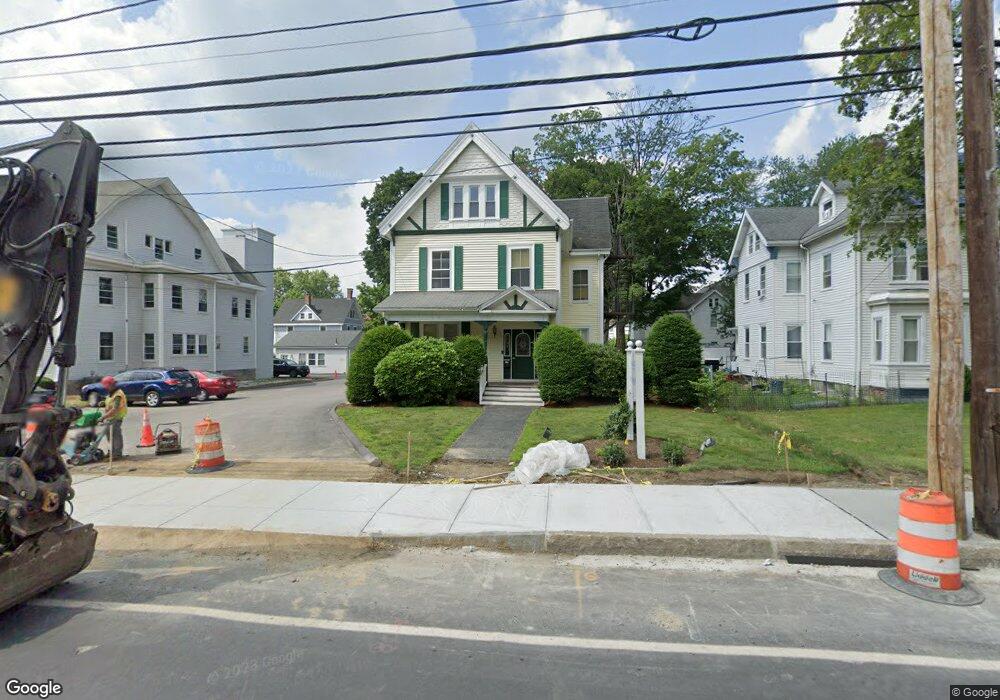
284 Union Ave Framingham, MA 01702
Estimated Value: $1,056,537
--
Bed
4
Baths
3,000
Sq Ft
$352/Sq Ft
Est. Value
About This Home
This home is located at 284 Union Ave, Framingham, MA 01702 and is currently estimated at $1,056,537, approximately $352 per square foot. 284 Union Ave is a home located in Middlesex County with nearby schools including Framingham High School, Happy Hollow School, and Saint Bridget School.
Ownership History
Date
Name
Owned For
Owner Type
Purchase Details
Closed on
Apr 22, 1999
Sold by
Ravech Melvin
Bought by
284 Union Ave Rt and Mingace
Current Estimated Value
Home Financials for this Owner
Home Financials are based on the most recent Mortgage that was taken out on this home.
Original Mortgage
$190,000
Outstanding Balance
$48,031
Interest Rate
7.02%
Mortgage Type
Commercial
Estimated Equity
$1,008,506
Create a Home Valuation Report for This Property
The Home Valuation Report is an in-depth analysis detailing your home's value as well as a comparison with similar homes in the area
Home Values in the Area
Average Home Value in this Area
Purchase History
| Date | Buyer | Sale Price | Title Company |
|---|---|---|---|
| 284 Union Ave Rt | $270,000 | -- |
Source: Public Records
Mortgage History
| Date | Status | Borrower | Loan Amount |
|---|---|---|---|
| Open | 284 Union Ave Rt | $190,000 |
Source: Public Records
Tax History Compared to Growth
Tax History
| Year | Tax Paid | Tax Assessment Tax Assessment Total Assessment is a certain percentage of the fair market value that is determined by local assessors to be the total taxable value of land and additions on the property. | Land | Improvement |
|---|---|---|---|---|
| 2025 | $12,677 | $522,100 | $175,400 | $346,700 |
| 2024 | $11,988 | $471,800 | $160,400 | $311,400 |
| 2023 | $10,204 | $374,200 | $160,400 | $213,800 |
| 2022 | $10,788 | $372,000 | $145,700 | $226,300 |
| 2021 | $10,959 | $364,200 | $145,700 | $218,500 |
| 2020 | $11,731 | $363,200 | $145,700 | $217,500 |
| 2019 | $12,137 | $361,100 | $139,400 | $221,700 |
| 2018 | $13,346 | $377,100 | $157,900 | $219,200 |
| 2017 | $13,596 | $372,300 | $157,900 | $214,400 |
| 2016 | $10,108 | $266,135 | $150,793 | $115,342 |
| 2015 | $10,274 | $263,500 | $143,800 | $119,700 |
Source: Public Records
Map
Nearby Homes
- 36 Nelson St
- 25 Brewster Rd
- 120 Franklin St
- 108 Warren Rd
- 11 Robertson Rd
- 20 Buckminster St
- 171 Walnut St
- 47 Clinton St
- 18 Milton St
- 22 Arthur St
- 12 & 14 Waverly St
- 29 Prescott St
- 88 Pond St Unit 88
- 27 Gordon St Unit 206
- 159 Bishop St
- 29 Gordon St Unit 104
- 40 Eden Rd
- 4 Mclaughlin St Unit 3
- 77 Arlington St
- 53 Long Ave
- 276 Union Ave
- 288 Union Ave
- 27 Linden St
- 24 Melrose St
- 29 Linden St Unit left side
- 29 Linden St
- 19 Linden St Unit B
- 19 Linden St Unit A
- 19 Linden St
- 19 Linden St Unit 1
- 20 Melrose St
- 273 Union Ave
- 302 Union Ave
- 36 Linden St
- 23 Melrose St Unit B
- 23 Melrose St Unit A
- 28 Linden St Unit 1/2
- 28 Linden St Unit 1
- 30.5 Linden Unit 2
- 28 Linden St