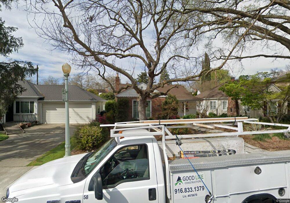
2840 Marty Way Sacramento, CA 95818
Land Park NeighborhoodEstimated Value: $826,565 - $906,000
3
Beds
2
Baths
1,685
Sq Ft
$515/Sq Ft
Est. Value
About This Home
This home is located at 2840 Marty Way, Sacramento, CA 95818 and is currently estimated at $867,891, approximately $515 per square foot. 2840 Marty Way is a home located in Sacramento County with nearby schools including Crocker/Riverside Elementary School, California Middle, and C. K. McClatchy High.
Ownership History
Date
Name
Owned For
Owner Type
Purchase Details
Closed on
Jul 24, 2003
Sold by
Brown Suzanne B
Bought by
Mcdonald Kenneth and Brown Suzanne B
Current Estimated Value
Home Financials for this Owner
Home Financials are based on the most recent Mortgage that was taken out on this home.
Original Mortgage
$174,500
Interest Rate
5.13%
Mortgage Type
Purchase Money Mortgage
Create a Home Valuation Report for This Property
The Home Valuation Report is an in-depth analysis detailing your home's value as well as a comparison with similar homes in the area
Home Values in the Area
Average Home Value in this Area
Purchase History
| Date | Buyer | Sale Price | Title Company |
|---|---|---|---|
| Mcdonald Kenneth | -- | Financial Title Company | |
| Brown Suzanne B | -- | Financial Title Company |
Source: Public Records
Mortgage History
| Date | Status | Borrower | Loan Amount |
|---|---|---|---|
| Closed | Brown Suzanne B | $174,500 |
Source: Public Records
Tax History Compared to Growth
Tax History
| Year | Tax Paid | Tax Assessment Tax Assessment Total Assessment is a certain percentage of the fair market value that is determined by local assessors to be the total taxable value of land and additions on the property. | Land | Improvement |
|---|---|---|---|---|
| 2025 | $5,917 | $500,245 | $82,863 | $417,382 |
| 2024 | $5,917 | $490,438 | $81,239 | $409,199 |
| 2023 | $5,777 | $480,823 | $79,647 | $401,176 |
| 2022 | $5,679 | $471,396 | $78,086 | $393,310 |
| 2021 | $5,412 | $462,154 | $76,555 | $385,599 |
| 2020 | $5,455 | $457,417 | $75,771 | $381,646 |
| 2019 | $5,339 | $448,449 | $74,286 | $374,163 |
| 2018 | $5,200 | $439,657 | $72,830 | $366,827 |
| 2017 | $5,128 | $431,037 | $71,402 | $359,635 |
| 2016 | $5,005 | $422,586 | $70,002 | $352,584 |
| 2015 | $4,926 | $416,239 | $68,951 | $347,288 |
| 2014 | $4,793 | $408,087 | $67,601 | $340,486 |
Source: Public Records
Map
Nearby Homes
- 2832 Marty Way
- 1615 Vallejo Way
- 1725 Vallejo Way
- 2780 Harkness St
- 1756 Vallejo Way
- 3085 17th St
- 1863 Vallejo Way
- 1825 Markham Way
- 2725 Harkness St
- 2705 Harkness St
- 2038 Markham Way
- 2673 Freeport Blvd
- 1701 9th Ave
- 2620 17th St
- 1831 9th Ave
- 3098 Riverside Blvd
- 1432 Teneighth Way
- 941 McClatchy Way
- 2153 Perkins Way
- 1926 1st Ave
- 2906 Marty Way
- 2824 Marty Way
- 2833 Land Park Dr
- 2901 Land Park Dr
- 2916 Marty Way
- 2825 Land Park Dr
- 2816 Marty Way
- 1600 4th Ave
- 2909 Land Park Dr
- 2817 Land Park Dr
- 2924 Marty Way
- 1605 4th Ave
- 1604 4th Ave
- 2808 Marty Way
- 2917 Land Park Dr
- 2809 Land Park Dr
- 1609 4th Ave
- 1608 4th Ave
- 2929 Marty Way
- 2925 Land Park Dr