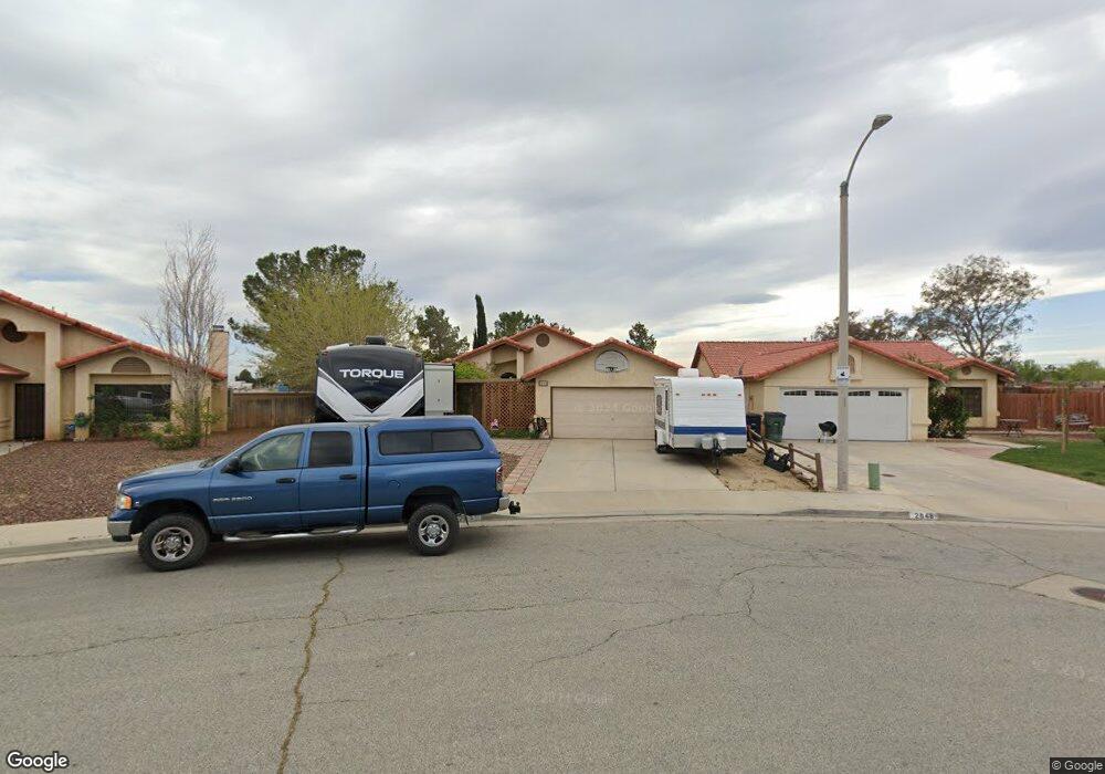
2840 Westland Dr Rosamond, CA 93560
Estimated Value: $383,710 - $430,000
4
Beds
2
Baths
1,634
Sq Ft
$251/Sq Ft
Est. Value
About This Home
This home is located at 2840 Westland Dr, Rosamond, CA 93560 and is currently estimated at $409,928, approximately $250 per square foot. 2840 Westland Dr is a home located in Kern County.
Ownership History
Date
Name
Owned For
Owner Type
Purchase Details
Closed on
Sep 16, 1998
Sold by
Va
Bought by
Willerford Norman R and Willerford Cynthia
Current Estimated Value
Home Financials for this Owner
Home Financials are based on the most recent Mortgage that was taken out on this home.
Original Mortgage
$74,246
Outstanding Balance
$15,846
Interest Rate
6.89%
Mortgage Type
Seller Take Back
Estimated Equity
$394,082
Purchase Details
Closed on
May 15, 1998
Sold by
Engle Charles A and Engle Beth L
Bought by
Homeside Lending Inc and Bancboston Mtg Corp
Create a Home Valuation Report for This Property
The Home Valuation Report is an in-depth analysis detailing your home's value as well as a comparison with similar homes in the area
Home Values in the Area
Average Home Value in this Area
Purchase History
| Date | Buyer | Sale Price | Title Company |
|---|---|---|---|
| Willerford Norman R | $77,000 | Fidelity National Title | |
| Homeside Lending Inc | $63,662 | Fidelity National Title Ins | |
| Va | $63,662 | Fidelity National Title Co |
Source: Public Records
Mortgage History
| Date | Status | Borrower | Loan Amount |
|---|---|---|---|
| Open | Willerford Norman R | $74,246 |
Source: Public Records
Tax History Compared to Growth
Tax History
| Year | Tax Paid | Tax Assessment Tax Assessment Total Assessment is a certain percentage of the fair market value that is determined by local assessors to be the total taxable value of land and additions on the property. | Land | Improvement |
|---|---|---|---|---|
| 2025 | $2,761 | $119,905 | $28,205 | $91,700 |
| 2024 | $2,638 | $117,554 | $27,652 | $89,902 |
| 2023 | $2,638 | $115,250 | $27,110 | $88,140 |
| 2022 | $2,506 | $112,991 | $26,579 | $86,412 |
| 2021 | $2,349 | $110,776 | $26,058 | $84,718 |
| 2020 | $2,302 | $109,641 | $25,791 | $83,850 |
| 2019 | $1,406 | $109,641 | $25,791 | $83,850 |
| 2018 | $1,367 | $105,386 | $24,791 | $80,595 |
| 2017 | $1,343 | $103,320 | $24,305 | $79,015 |
| 2016 | $1,275 | $101,295 | $23,829 | $77,466 |
| 2015 | $1,284 | $99,775 | $23,472 | $76,303 |
| 2014 | $1,664 | $97,822 | $23,013 | $74,809 |
Source: Public Records
Map
Nearby Homes
- 3332 Clark St
- 3432 Starjet St
- 3237 Shady Vista Ln
- 3125 Richland Ave
- 3407 Amber St
- 3112 Edwards Ave
- 3600 Gold Stone Ln
- 3418 Rodney St
- 0
- 0 Marielle Parcel 3 Way
- 0 Marielle Way Parcel 2
- 0 30th St Unit 202505679
- 1 30th St W
- 3440 Citrine Ln
- 2300 E Valley Vista
- 2911 Laurel St
- 3331 Kellie Ave
- 0 Rosamond Blvd Unit SR25215952
- 0 Rosamond Blvd Unit 24001287
- 0 Rosamond Blvd Unit 25001455