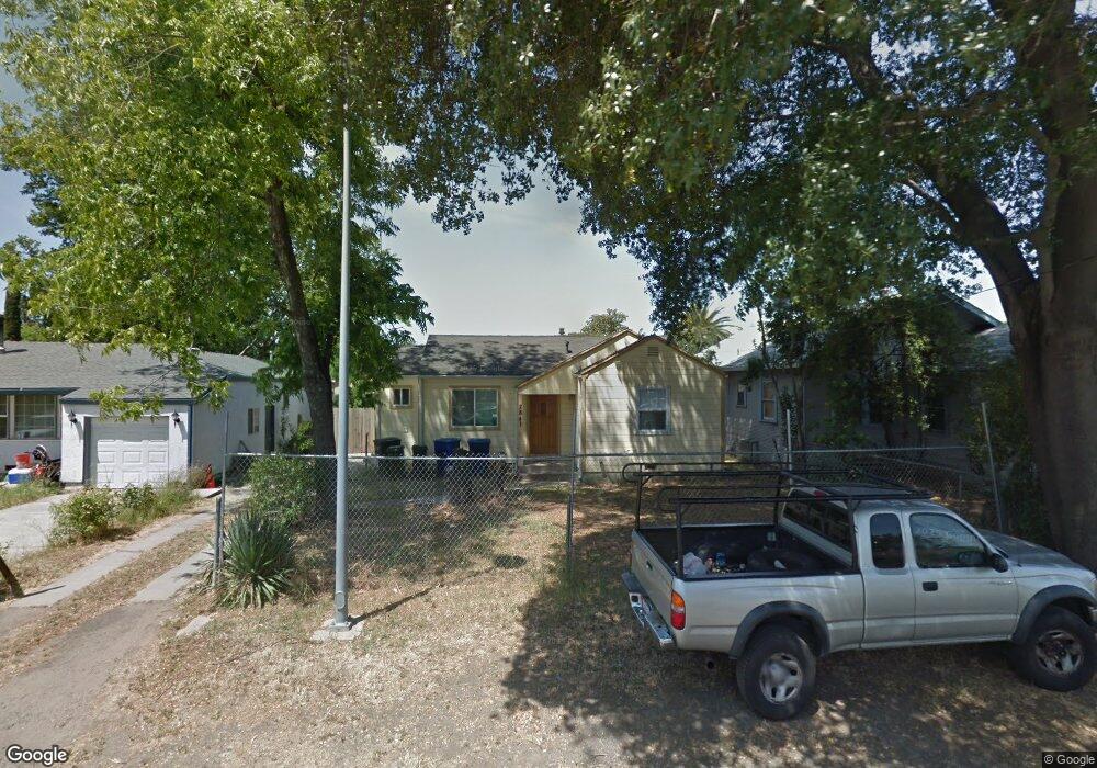
2841 Connie Dr Sacramento, CA 95815
Ben Ali NeighborhoodEstimated Value: $314,000 - $329,860
2
Beds
1
Bath
788
Sq Ft
$409/Sq Ft
Est. Value
About This Home
This home is located at 2841 Connie Dr, Sacramento, CA 95815 and is currently estimated at $322,620, approximately $409 per square foot. 2841 Connie Dr is a home located in Sacramento County with nearby schools including D. W. Babcock Elementary, Martin Luther King Jr. Technology Academy, and Grant Union High School.
Ownership History
Date
Name
Owned For
Owner Type
Purchase Details
Closed on
Jan 3, 2017
Sold by
Cornejo Luis J Duran and Duran Luis J
Bought by
Cornejo Luis J Duran and Sierra Sheila
Current Estimated Value
Purchase Details
Closed on
Jul 19, 2011
Sold by
Sierra Sheila
Bought by
Durancornejo Luis J
Purchase Details
Closed on
Mar 14, 2011
Sold by
Halsey Jeff
Bought by
Sierra Sheila
Purchase Details
Closed on
Apr 3, 2002
Sold by
Whitton Troy
Bought by
Halsey Jeff
Create a Home Valuation Report for This Property
The Home Valuation Report is an in-depth analysis detailing your home's value as well as a comparison with similar homes in the area
Home Values in the Area
Average Home Value in this Area
Purchase History
| Date | Buyer | Sale Price | Title Company |
|---|---|---|---|
| Cornejo Luis J Duran | -- | None Available | |
| Durancornejo Luis J | -- | None Available | |
| Sierra Sheila | $19,300 | None Available | |
| Halsey Jeff | $17,454 | None Available |
Source: Public Records
Tax History Compared to Growth
Tax History
| Year | Tax Paid | Tax Assessment Tax Assessment Total Assessment is a certain percentage of the fair market value that is determined by local assessors to be the total taxable value of land and additions on the property. | Land | Improvement |
|---|---|---|---|---|
| 2025 | $748 | $43,947 | $15,065 | $28,882 |
| 2024 | $748 | $43,086 | $14,770 | $28,316 |
| 2023 | $771 | $42,242 | $14,481 | $27,761 |
| 2022 | $734 | $41,415 | $14,198 | $27,217 |
| 2021 | $725 | $40,604 | $13,920 | $26,684 |
| 2020 | $714 | $40,189 | $13,778 | $26,411 |
| 2019 | $704 | $39,402 | $13,508 | $25,894 |
| 2018 | $673 | $38,631 | $13,244 | $25,387 |
| 2017 | $679 | $37,875 | $12,985 | $24,890 |
| 2016 | $672 | $37,133 | $12,731 | $24,402 |
| 2015 | $638 | $36,576 | $12,540 | $24,036 |
| 2014 | $648 | $35,861 | $12,295 | $23,566 |
Source: Public Records
Map
Nearby Homes
- 2849 Aurora Ave
- 1923 Juliesse Ave
- 2818 Plover St
- 2133 Marconi Ave
- 2137 Marconi Ave
- 1851 Glenrose Ave
- 2155 Whippoorwill Ln
- 2115 Ruby Ct
- 2620 Darwin St
- 2513 Anna Way
- 2265 Marconi Ave
- 2500 Ethan Way
- 3135 Academy Way
- 2012 El Camino Ave
- 2436 Connie Dr
- 1757 Kenwood St
- 1705 Kenwood St
- 3139 Judah St
- 2653 Princeton St
- 2405 Ethan Way