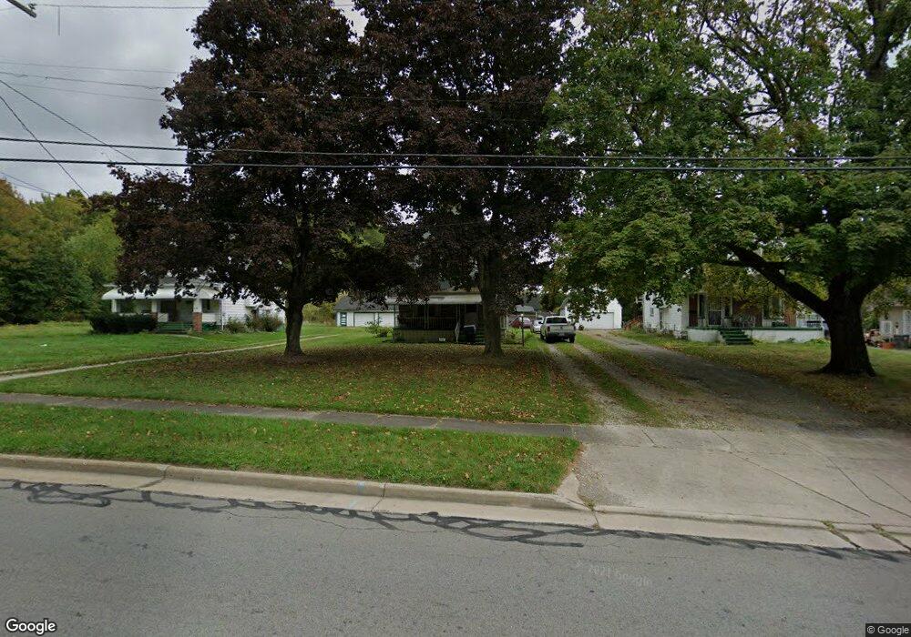
2845 McGuffey Rd Youngstown, OH 44505
McGuffey Heights NeighborhoodEstimated Value: $75,361 - $82,000
3
Beds
1
Bath
1,586
Sq Ft
$50/Sq Ft
Est. Value
About This Home
This home is located at 2845 McGuffey Rd, Youngstown, OH 44505 and is currently estimated at $79,840, approximately $50 per square foot. 2845 McGuffey Rd is a home located in Mahoning County with nearby schools including M.L. King Elementary School, Williamson Elementary School, and East High School.
Ownership History
Date
Name
Owned For
Owner Type
Purchase Details
Closed on
Mar 20, 2009
Sold by
Harris Luella and Thompkins Loretta
Bought by
Brewer Charles C
Current Estimated Value
Purchase Details
Closed on
Sep 3, 2000
Sold by
Estate Of Willie Mae Mccarter
Bought by
Mccarter Ira W
Purchase Details
Closed on
Jan 1, 1990
Bought by
Mccarter Ira and Mccarter Nellie
Create a Home Valuation Report for This Property
The Home Valuation Report is an in-depth analysis detailing your home's value as well as a comparison with similar homes in the area
Home Values in the Area
Average Home Value in this Area
Purchase History
| Date | Buyer | Sale Price | Title Company |
|---|---|---|---|
| Brewer Charles C | $14,500 | None Available | |
| Harris Luella | -- | None Available | |
| Mccarter Ira W | -- | -- | |
| Mccarter Ira | -- | -- |
Source: Public Records
Tax History Compared to Growth
Tax History
| Year | Tax Paid | Tax Assessment Tax Assessment Total Assessment is a certain percentage of the fair market value that is determined by local assessors to be the total taxable value of land and additions on the property. | Land | Improvement |
|---|---|---|---|---|
| 2024 | $374 | $7,810 | $690 | $7,120 |
| 2023 | $371 | $7,810 | $690 | $7,120 |
| 2022 | $229 | $3,690 | $610 | $3,080 |
| 2021 | $229 | $3,690 | $610 | $3,080 |
| 2020 | $230 | $3,690 | $610 | $3,080 |
| 2019 | $240 | $3,410 | $560 | $2,850 |
| 2018 | $279 | $3,410 | $560 | $2,850 |
| 2017 | $239 | $3,410 | $560 | $2,850 |
| 2016 | $324 | $5,000 | $560 | $4,440 |
| 2015 | $329 | $5,000 | $560 | $4,440 |
| 2014 | -- | $5,000 | $560 | $4,440 |
| 2013 | $311 | $5,000 | $560 | $4,440 |
Source: Public Records
Map
Nearby Homes
- 1214 Brighton St
- 1003 Liberty Rd
- 1720 Jacobs Rd
- 2051 Blair Ave
- 1325 Miami Ave
- 902 Miami St
- 2951 Megan Cir
- V/L Jacobs Rd
- 2831 Benford Ln
- 2954 Megan Cir
- 227 Greeley Ln
- 405 Drake Ave
- 566 Sunshine Ave
- 1538 Republic Ave
- 71 Duncan Ln
- 332 Lansdowne Blvd
- OL 38 Mccartney Rd
- 0 Heidi Dr Unit 5141604
- 598 Cassius Ave
- 554 Neoka Dr
- 2841 McGuffey Rd
- 2849 McGuffey Rd
- 2835 McGuffey Rd
- 2853 McGuffey Rd
- 2819 McGuffey Rd
- 2848 McGuffey Rd
- 2830 McGuffey Rd
- 2900 McGuffey Rd
- 2811 McGuffey Rd
- 2923 McGuffey Rd
- 2833 Baker St
- 2810 McGuffey Rd
- 2842 Ridley Ave
- 2829 Baker St
- 2850 Ridley Ave
- 1041 Bryn Mawr Ave
- 1049 Bryn Mawr Ave
- 521 Forest Glen Ave
- 2933 McGuffey Rd
- 1109 Keogh Ave