28459 County Road 38 Coshocton, OH 43812
Estimated Value: $318,000 - $383,904
1
Bed
1
Bath
1,061
Sq Ft
$323/Sq Ft
Est. Value
About This Home
This home is located at 28459 County Road 38, Coshocton, OH 43812 and is currently estimated at $343,226, approximately $323 per square foot. 28459 County Road 38 is a home located in Coshocton County with nearby schools including River View High School.
Ownership History
Date
Name
Owned For
Owner Type
Purchase Details
Closed on
Jun 17, 2021
Sold by
Yoder Abe J and Yoder Alma
Bought by
Miller Paul D and Miller David M
Current Estimated Value
Purchase Details
Closed on
Jan 13, 2015
Sold by
Yoder Raymond H
Bought by
Yoder John A
Purchase Details
Closed on
Jun 15, 2009
Sold by
Yoder Monroe H
Bought by
Yoder Raymond H
Purchase Details
Closed on
Nov 9, 2007
Sold by
Hershberger Roy
Bought by
Yoder Monroe H
Purchase Details
Closed on
Dec 12, 2006
Sold by
Coffman James
Bought by
Hershberger Roy
Purchase Details
Closed on
Dec 13, 2004
Sold by
Carnes Holly A
Bought by
Coffman James
Purchase Details
Closed on
Mar 21, 1997
Bought by
Carnes Holly A
Create a Home Valuation Report for This Property
The Home Valuation Report is an in-depth analysis detailing your home's value as well as a comparison with similar homes in the area
Home Values in the Area
Average Home Value in this Area
Purchase History
| Date | Buyer | Sale Price | Title Company |
|---|---|---|---|
| Miller Paul D | $250,000 | None Available | |
| Yoder John A | $166,000 | None Available | |
| Yoder Raymond H | $80,000 | None Available | |
| Yoder Monroe H | $26,800 | None Available | |
| Hershberger Roy | $25,000 | None Available | |
| Coffman James | $22,100 | -- | |
| Carnes Holly A | $10,000 | -- |
Source: Public Records
Tax History Compared to Growth
Tax History
| Year | Tax Paid | Tax Assessment Tax Assessment Total Assessment is a certain percentage of the fair market value that is determined by local assessors to be the total taxable value of land and additions on the property. | Land | Improvement |
|---|---|---|---|---|
| 2024 | $2,752 | $80,240 | $34,680 | $45,560 |
| 2023 | $2,752 | $63,133 | $23,198 | $39,935 |
| 2022 | $2,336 | $63,133 | $23,198 | $39,935 |
| 2021 | $2,377 | $63,133 | $23,198 | $39,935 |
| 2020 | $1,883 | $49,616 | $23,240 | $26,376 |
| 2019 | $1,926 | $49,616 | $23,240 | $26,376 |
| 2018 | $1,740 | $48,482 | $23,240 | $25,242 |
| 2017 | $1,655 | $43,183 | $20,713 | $22,470 |
| 2016 | $1,571 | $43,183 | $20,713 | $22,470 |
| 2015 | $785 | $43,183 | $20,713 | $22,470 |
| 2014 | $916 | $24,938 | $12,677 | $12,261 |
Source: Public Records
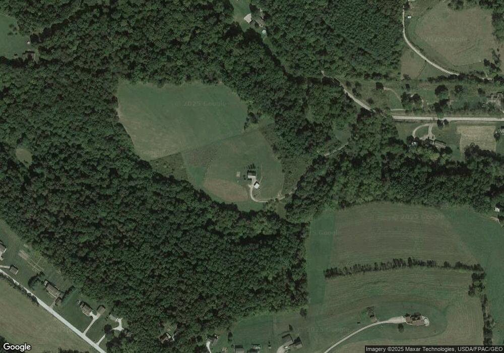
Map
Nearby Homes
- 28427 Ohio 83
- 0 County Road 1
- 26938 County Road 1
- 26929 County Road 1
- 27892 County Road 25
- 30945 County Road 126
- 24272 Township Road 1169
- 23900 Airport Rd
- 26405 Township Road 1152
- 23749 County Road 621
- 230 Rivercrest Dr
- 32469 Township Road 219
- 217 E Liberty St
- 30410 Ohio 60
- 0 Township Road 219
- 0 Township Road 219
- 27858 Township Road 31
- 23226 Township Road #1194
- 77 Retilly Dr
- 0 Retilley Drive Lot #4784 Dr
- 28493 County Road 38
- 46660 County Road 405
- 46718 County Road 405
- 28328 County Road 38
- 46700 County Road 405
- 46640 County Road 405
- 28311 County Road 38
- 46590 County Road 405
- 46548 County Road 405
- 46744 County Road 405
- 46520 County Road 405
- 28300 County Road 38
- 28310 County Road 38
- 46460 County Road 405
- 28247 State Route 83
- 28238 County Road 38
- 28645 County Road 38
- 28199 State Route 83
- 47028 County Road 405
- 47090 County Road 405