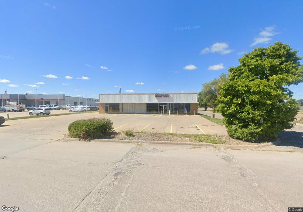
2849 N Court St Unit STE A Ottumwa, IA 52501
Estimated Value: $609,906
--
Bed
--
Bath
2,700
Sq Ft
$226/Sq Ft
Est. Value
About This Home
This home is located at 2849 N Court St Unit STE A, Ottumwa, IA 52501 and is currently estimated at $609,906, approximately $225 per square foot. 2849 N Court St Unit STE A is a home located in Wapello County with nearby schools including Eisenhower Elementary School, Evans Middle School, and Ottumwa High School.
Ownership History
Date
Name
Owned For
Owner Type
Purchase Details
Closed on
Jul 3, 2014
Sold by
Cowles Willis S
Bought by
Team Ottumwa Properties Llc
Current Estimated Value
Home Financials for this Owner
Home Financials are based on the most recent Mortgage that was taken out on this home.
Original Mortgage
$345,000
Outstanding Balance
$262,415
Interest Rate
4.2%
Mortgage Type
Unknown
Estimated Equity
$347,491
Create a Home Valuation Report for This Property
The Home Valuation Report is an in-depth analysis detailing your home's value as well as a comparison with similar homes in the area
Home Values in the Area
Average Home Value in this Area
Purchase History
| Date | Buyer | Sale Price | Title Company |
|---|---|---|---|
| Team Ottumwa Properties Llc | $314,000 | None Available |
Source: Public Records
Mortgage History
| Date | Status | Borrower | Loan Amount |
|---|---|---|---|
| Open | Team Ottumwa Properties Llc | $345,000 |
Source: Public Records
Tax History Compared to Growth
Tax History
| Year | Tax Paid | Tax Assessment Tax Assessment Total Assessment is a certain percentage of the fair market value that is determined by local assessors to be the total taxable value of land and additions on the property. | Land | Improvement |
|---|---|---|---|---|
| 2025 | $10,126 | $364,570 | $112,250 | $252,320 |
| 2024 | $10,126 | $317,030 | $112,250 | $204,780 |
| 2023 | $8,492 | $317,030 | $112,250 | $204,780 |
| 2022 | $6,116 | $274,770 | $112,250 | $162,520 |
| 2021 | $9,372 | $188,530 | $70,490 | $118,040 |
| 2020 | $4,848 | $188,530 | $70,490 | $118,040 |
| 2019 | $4,950 | $188,530 | $0 | $0 |
| 2018 | $4,804 | $188,530 | $0 | $0 |
| 2017 | $4,804 | $219,217 | $0 | $0 |
| 2016 | $5,480 | $219,217 | $0 | $0 |
| 2015 | $3,812 | $152,329 | $0 | $0 |
| 2014 | $3,812 | $152,329 | $0 | $0 |
Source: Public Records
Map
Nearby Homes
- 10 Bell Dr
- 74 Schwartz Dr
- 2620 Marilyn Rd
- 0 E Rochester Rd
- 627 Edwards Dr
- 11995 Rutledge Rd
- 307 E Rochester Rd
- 2633 Clearview St
- 2540 Kenwood St
- 211 Elmdale Ave
- 11652 Rutledge Rd
- 444 Crestview Ave
- 463 E Rochester Rd
- 2438 N Jefferson St
- 45 Brookwood Ct
- 11994 118th Ave
- 418 Carter Ave
- 31 Weaver Dr
- 240 W Manning Ave
- 2 Woodshire Dr
- 2849 N Court St
- 2839 N Court St
- 0 N Court St
- 2827 N Court St
- 2830 N Court St
- 0 W Joseph Ave
- 2824 N Court St
- 2818 N Court St
- 2818 North Ct
- 2815 N Court St
- 2908 N Court St
- 117 W Rochester Rd
- 125 W Rochester Rd
- 2805 N Court St
- 201 W Rochester Rd
- 2814 N Court St
- 205 W Rochester Rd
- 116 W Rochester Rd
- 112 W Rochester Rd
- 2753 N Court St