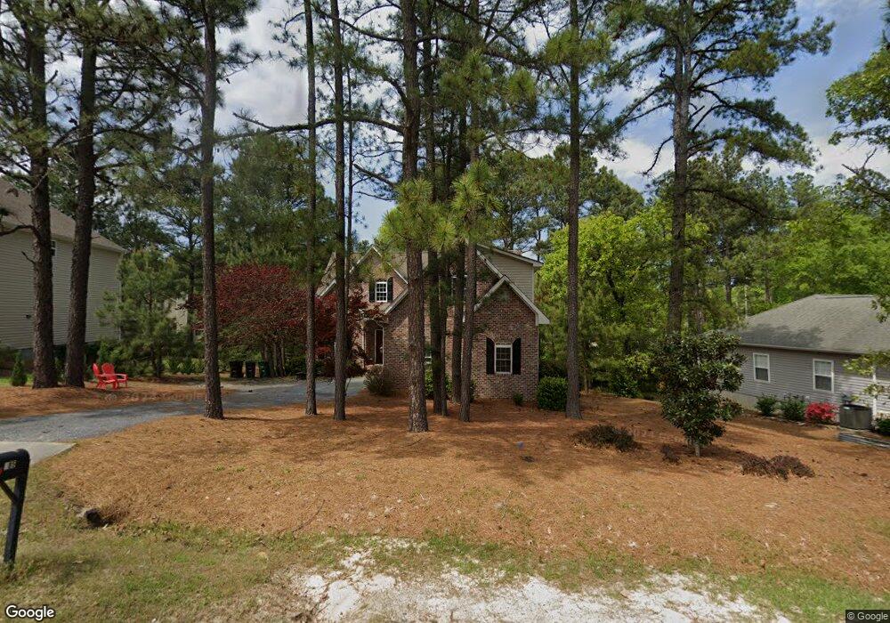
285 Adams Cir Unit 9 Pinehurst, NC 28374
Estimated Value: $480,000 - $573,000
4
Beds
4
Baths
2,348
Sq Ft
$221/Sq Ft
Est. Value
About This Home
This home is located at 285 Adams Cir Unit 9, Pinehurst, NC 28374 and is currently estimated at $519,416, approximately $221 per square foot. 285 Adams Cir Unit 9 is a home located in Moore County with nearby schools including Pinehurst Elementary School, West Pine Middle School, and Pinecrest High School.
Ownership History
Date
Name
Owned For
Owner Type
Purchase Details
Closed on
Apr 10, 2008
Sold by
Rhetson Development Llc
Bought by
Kasten Richard R and Kasten Valerie A
Current Estimated Value
Home Financials for this Owner
Home Financials are based on the most recent Mortgage that was taken out on this home.
Original Mortgage
$244,000
Outstanding Balance
$149,317
Interest Rate
5.84%
Mortgage Type
Unknown
Estimated Equity
$370,099
Create a Home Valuation Report for This Property
The Home Valuation Report is an in-depth analysis detailing your home's value as well as a comparison with similar homes in the area
Home Values in the Area
Average Home Value in this Area
Purchase History
| Date | Buyer | Sale Price | Title Company |
|---|---|---|---|
| Kasten Richard R | $305,000 | None Available |
Source: Public Records
Mortgage History
| Date | Status | Borrower | Loan Amount |
|---|---|---|---|
| Open | Kasten Richard R | $244,000 |
Source: Public Records
Tax History
| Year | Tax Paid | Tax Assessment Tax Assessment Total Assessment is a certain percentage of the fair market value that is determined by local assessors to be the total taxable value of land and additions on the property. | Land | Improvement |
|---|---|---|---|---|
| 2025 | $2,432 | $436,250 | $55,000 | $381,250 |
| 2024 | $2,498 | $436,250 | $55,000 | $381,250 |
| 2023 | $2,607 | $436,250 | $55,000 | $381,250 |
| 2022 | $2,362 | $282,870 | $30,000 | $252,870 |
| 2021 | $2,447 | $282,870 | $30,000 | $252,870 |
| 2020 | $2,422 | $282,870 | $30,000 | $252,870 |
| 2019 | $2,422 | $282,870 | $30,000 | $252,870 |
| 2018 | $2,056 | $256,940 | $26,500 | $230,440 |
| 2017 | $2,030 | $256,940 | $26,500 | $230,440 |
| 2015 | $1,991 | $256,940 | $26,500 | $230,440 |
| 2014 | $2,466 | $322,300 | $26,500 | $295,800 |
| 2013 | -- | $322,300 | $26,500 | $295,800 |
Source: Public Records
Map
Nearby Homes
- 450 Spring Lake Dr
- 170 Adams Cir
- 2 Gerry Ct
- 365 Adams Cir
- 161 Spring Lake Rd
- 316 Juniper Creek Blvd
- 2 Sandhills Place Unit 4
- 399 Spring Lake Dr
- 301 Spring Lake Dr
- 220 Spring Lake Dr
- 4 Belmont Ct
- 125 Juniper Lake Rd
- 12 Deerwood Ln
- 39 Bedford Cir
- 8 White Ct
- 6 Georgia
- 294 Juniper Creek Blvd
- 5 Raintree Ct
- 60 Spring Lake Dr
- 20 Bradley Ln Unit 15
- 275 Adams Cir
- 295 Adams Cir
- 470 Spring Lake Dr
- 480 Spring Lake Dr Unit 4
- 460 Spring Lake Dr
- 490 Spring Lake Dr
- 220 Adams Cir
- 245 Adams Cir
- 240 Adams Cir
- 3 South Ct
- 440 Spring Lake Dr Unit 4
- 440 Spring Lake Dr
- 235 Adams Cir
- 1 Van Buren Ln Unit 9
- 4 South Ct
- 2 South Ct
- 475 Spring Lake Dr
- 315 Adams Cir
- 250 Adams Cir
- 5 Sandhill Cir
Your Personal Tour Guide
Ask me questions while you tour the home.