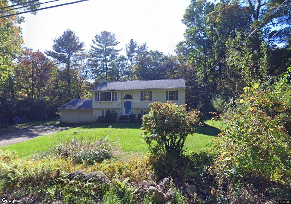
285 Babcock Rd Tolland, CT 06084
Estimated Value: $312,000 - $447,000
3
Beds
3
Baths
1,165
Sq Ft
$327/Sq Ft
Est. Value
About This Home
This home is located at 285 Babcock Rd, Tolland, CT 06084 and is currently estimated at $381,347, approximately $327 per square foot. 285 Babcock Rd is a home located in Tolland County with nearby schools including Birch Grove Primary School, Tolland Intermediate School, and Tolland Middle School.
Ownership History
Date
Name
Owned For
Owner Type
Purchase Details
Closed on
Jun 25, 2001
Sold by
Levitt Thomas
Bought by
Hiller Richard and Hiller Kim
Current Estimated Value
Home Financials for this Owner
Home Financials are based on the most recent Mortgage that was taken out on this home.
Original Mortgage
$147,951
Interest Rate
6.75%
Mortgage Type
Purchase Money Mortgage
Purchase Details
Closed on
Nov 27, 2000
Sold by
Barcewicz Stelle
Bought by
Levitt Thomas
Create a Home Valuation Report for This Property
The Home Valuation Report is an in-depth analysis detailing your home's value as well as a comparison with similar homes in the area
Home Values in the Area
Average Home Value in this Area
Purchase History
| Date | Buyer | Sale Price | Title Company |
|---|---|---|---|
| Hiller Richard | $184,939 | -- | |
| Levitt Thomas | $38,500 | -- | |
| Hiller Richard | $184,939 | -- | |
| Levitt Thomas | $38,500 | -- |
Source: Public Records
Mortgage History
| Date | Status | Borrower | Loan Amount |
|---|---|---|---|
| Open | Levitt Thomas | $141,750 | |
| Closed | Levitt Thomas | $60,534 | |
| Closed | Levitt Thomas | $147,951 |
Source: Public Records
Tax History Compared to Growth
Tax History
| Year | Tax Paid | Tax Assessment Tax Assessment Total Assessment is a certain percentage of the fair market value that is determined by local assessors to be the total taxable value of land and additions on the property. | Land | Improvement |
|---|---|---|---|---|
| 2025 | $5,563 | $204,600 | $65,600 | $139,000 |
| 2024 | $5,480 | $145,100 | $62,700 | $82,400 |
| 2023 | $5,417 | $145,100 | $62,700 | $82,400 |
| 2022 | $5,308 | $145,100 | $62,700 | $82,400 |
| 2021 | $5,385 | $145,100 | $62,700 | $82,400 |
| 2019 | $5,025 | $139,400 | $64,600 | $74,800 |
Source: Public Records
Map
Nearby Homes
- 66 Deerwood Rd
- 35 Schofield Rd
- 487 Buff Cap Rd
- 0 River Rd Unit 24120753
- 184 Village Hill Rd
- 38 Lucerne Dr
- 95 Derek Dr
- 644 Buff Cap Rd
- 745 Old Stafford Rd
- 0 Tolland Turnpike
- 8 Neff Hill Rd
- 128 Slater Rd
- 0 Tolland Stage Rd Unit 24101836
- 15 Usher Ridge
- 68 Usher Ridge
- 36 Usher Ridge
- 110 Neff Hill Rd
- 130 Neff Hill Rd
- 105 Neff Hill Rd
- 137 Neff Hill Rd
- 279 Babcock Rd
- 289 Babcock Rd
- 271 Babcock Rd
- 303 Babcock Rd
- 304 Babcock Rd
- 311 Babcock Rd
- 255 Babcock Rd
- 312 Babcock Rd
- 259 Babcock Rd
- 319 Babcock Rd
- 249 Babcock Rd
- 256 Babcock Rd
- 327 Babcock Rd
- 248 Babcock Rd
- 240 Babcock Rd
- 235 Babcock Rd
- 334 Babcock Rd
- 77 Bucks Crossing
- 71 Bucks Crossing
- 82 Bucks Crossing