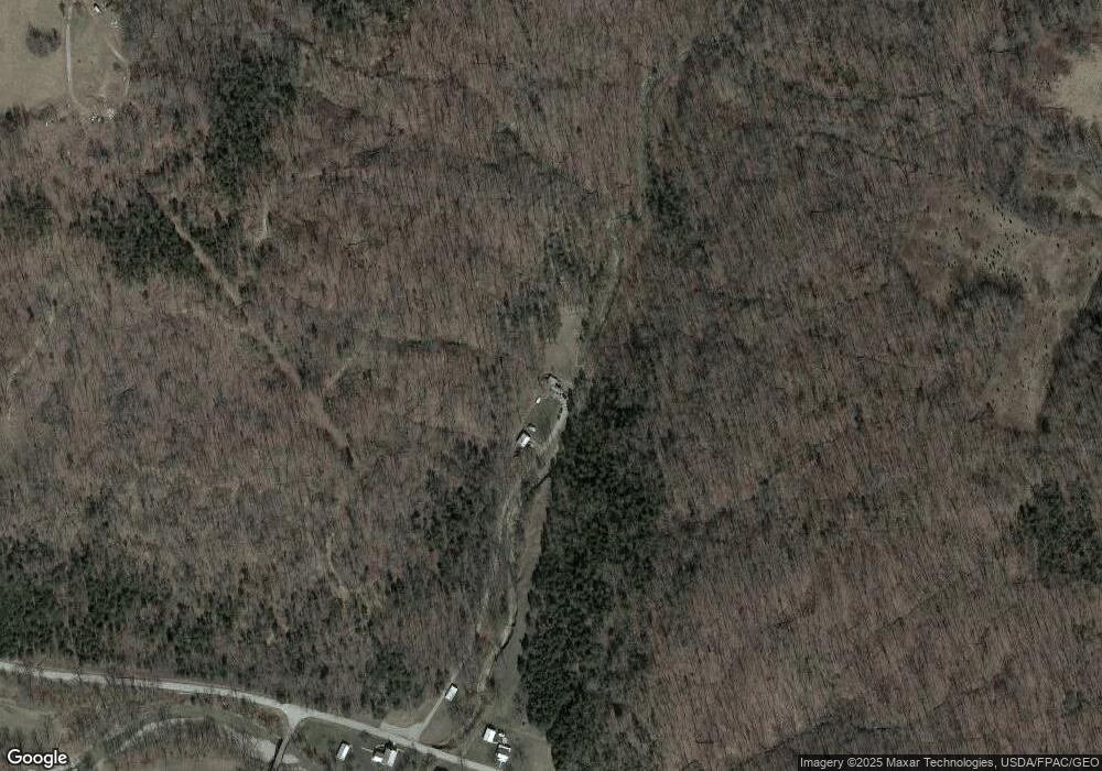
285 Barbee Rd West Union, OH 45693
Estimated Value: $148,454 - $267,000
3
Beds
2
Baths
1,092
Sq Ft
$205/Sq Ft
Est. Value
About This Home
This home is located at 285 Barbee Rd, West Union, OH 45693 and is currently estimated at $223,818, approximately $204 per square foot. 285 Barbee Rd is a home located in Adams County with nearby schools including West Union Elementary School and West Union High School.
Ownership History
Date
Name
Owned For
Owner Type
Purchase Details
Closed on
Nov 4, 2014
Sold by
Davis Barbara
Bought by
Davis Joshua and Davis Robert
Current Estimated Value
Home Financials for this Owner
Home Financials are based on the most recent Mortgage that was taken out on this home.
Original Mortgage
$43,985
Outstanding Balance
$33,929
Interest Rate
4.19%
Mortgage Type
Purchase Money Mortgage
Estimated Equity
$189,889
Purchase Details
Closed on
Mar 9, 2011
Sold by
Davis Robert
Bought by
Davis Barbara
Purchase Details
Closed on
Jan 6, 1999
Sold by
Patterson Lois J
Bought by
Davis Robert
Purchase Details
Closed on
Mar 23, 1998
Sold by
Patterson Jerry C
Bought by
Patterson Lois J
Purchase Details
Closed on
Apr 20, 1992
Bought by
Patterson Jerry C
Create a Home Valuation Report for This Property
The Home Valuation Report is an in-depth analysis detailing your home's value as well as a comparison with similar homes in the area
Home Values in the Area
Average Home Value in this Area
Purchase History
| Date | Buyer | Sale Price | Title Company |
|---|---|---|---|
| Davis Joshua | -- | None Available | |
| Davis Barbara | -- | None Available | |
| Davis Robert | $71,000 | -- | |
| Patterson Lois J | -- | -- | |
| Patterson Jerry C | $30,000 | -- |
Source: Public Records
Mortgage History
| Date | Status | Borrower | Loan Amount |
|---|---|---|---|
| Open | Davis Joshua | $43,985 |
Source: Public Records
Tax History Compared to Growth
Tax History
| Year | Tax Paid | Tax Assessment Tax Assessment Total Assessment is a certain percentage of the fair market value that is determined by local assessors to be the total taxable value of land and additions on the property. | Land | Improvement |
|---|---|---|---|---|
| 2024 | $177 | $31,440 | $27,830 | $3,610 |
| 2023 | $349 | $31,440 | $27,830 | $3,610 |
| 2022 | $346 | $25,060 | $22,050 | $3,010 |
| 2021 | $349 | $25,060 | $22,050 | $3,010 |
| 2020 | $340 | $25,060 | $22,050 | $3,010 |
| 2019 | $340 | $25,060 | $22,050 | $3,010 |
| 2018 | $294 | $21,320 | $18,690 | $2,630 |
| 2017 | $289 | $21,320 | $18,690 | $2,630 |
| 2016 | $299 | $21,320 | $18,690 | $2,630 |
| 2015 | $298 | $19,780 | $16,210 | $3,570 |
| 2014 | $298 | $19,780 | $16,210 | $3,570 |
Source: Public Records
Map
Nearby Homes
- 4702 Brush Creek Rd
- 4702 Ohio Brush Creek Rd
- 1805 Waggoner Riffle Rd
- 467 Waggoner Riffle Rd
- 2060 Moores Run Rd
- 269 Paulette Ln
- 405 Lookout View
- 166 Pumpkin Ridge Rd
- 144 Pumpkin Ridge Rd
- 333 Crawford Rd
- 271 Crawford Rd
- 598 Ohio 348
- 410 Owens Rd
- 175 Hidden Acres Dr
- 1186 Tulip Rd
- 4423 Pumpkin Ridge Rd
- 1082 E Walnut St
- 144 ac Pumpkin Ridge Rd
- 585 High St
- 4700 Ohio 247
- 1310 Beasley Fork Rd
- 56.588ac Beasley Fork Rd
- 407 Edith Osman Rd
- 51 Hammer Rd
- 500 Edith Osman Rd
- 860 Beasley Fork Rd
- 5729 Brush Creek Rd
- 0 Steep Hill Rd Unit 1378637
- 0 Steep Hill Rd Unit 1816800
- 0 Steep Hill Rd Unit 1812719
- 0 Steep Hill Rd Unit 1727188
- 0 Steep Hill Rd Unit 1715789
- 266 Edith Osman Rd
- 685 Beasley Fork Rd
- 5433 Brush Creek Rd
- 1919 Beasley Fork Rd
- 20 Mccarty Rd
- 560 Beasley Fork Rd
- 1970 Beasley Fork Rd
- 730 Poplar Ridge Rd
