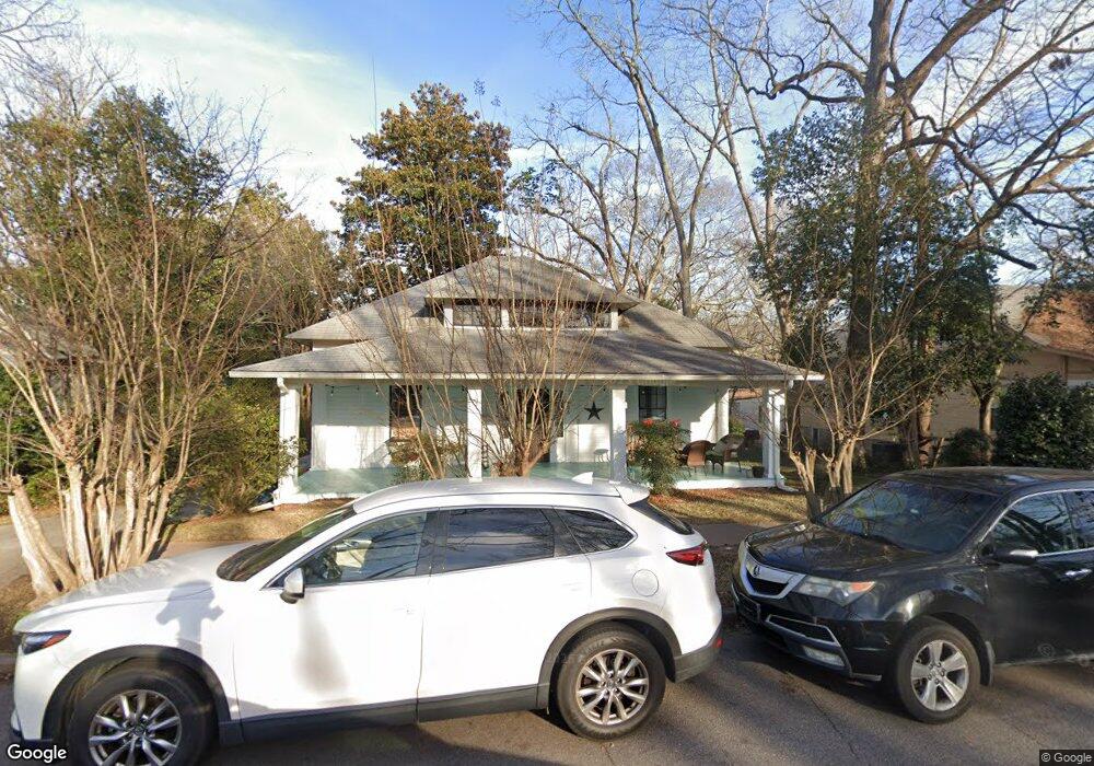
285 Bloomfield St Athens, GA 30605
Midtown-Bloomfield NeighborhoodEstimated Value: $619,640 - $782,000
--
Bed
--
Bath
1,900
Sq Ft
$357/Sq Ft
Est. Value
About This Home
This home is located at 285 Bloomfield St, Athens, GA 30605 and is currently estimated at $678,910, approximately $357 per square foot. 285 Bloomfield St is a home located in Clarke County with nearby schools including Barrow Elementary School, Clarke Middle School, and Clarke Central High School.
Ownership History
Date
Name
Owned For
Owner Type
Purchase Details
Closed on
Jan 29, 2025
Sold by
Taub Jane
Bought by
Taub Jane Tr
Current Estimated Value
Purchase Details
Closed on
Mar 12, 2020
Sold by
Jane Taub Trust
Bought by
Taub Jane
Purchase Details
Closed on
Aug 8, 2018
Sold by
Taub Jane
Bought by
Taub Jane Trustee and Jane Taub Trust
Purchase Details
Closed on
Jun 12, 2013
Sold by
Taub Jane
Bought by
Taub Jane
Purchase Details
Closed on
Aug 31, 1990
Sold by
Freeman Jere Evans and Freeman Barbara J
Bought by
Taub Jane
Create a Home Valuation Report for This Property
The Home Valuation Report is an in-depth analysis detailing your home's value as well as a comparison with similar homes in the area
Home Values in the Area
Average Home Value in this Area
Purchase History
| Date | Buyer | Sale Price | Title Company |
|---|---|---|---|
| Taub Jane Tr | -- | -- | |
| Taub Jane | -- | -- | |
| Taub Jane Trustee | -- | -- | |
| Taub Jane | -- | -- | |
| Taub Jane | $54,000 | -- |
Source: Public Records
Tax History Compared to Growth
Tax History
| Year | Tax Paid | Tax Assessment Tax Assessment Total Assessment is a certain percentage of the fair market value that is determined by local assessors to be the total taxable value of land and additions on the property. | Land | Improvement |
|---|---|---|---|---|
| 2025 | $7,453 | $240,029 | $50,000 | $190,029 |
| 2024 | $7,453 | $213,668 | $40,000 | $173,668 |
| 2023 | $6,677 | $195,050 | $40,000 | $155,050 |
| 2022 | $5,336 | $167,282 | $40,000 | $127,282 |
| 2021 | $4,769 | $141,504 | $40,000 | $101,504 |
| 2020 | $4,433 | $131,552 | $40,000 | $91,552 |
| 2019 | $3,993 | $117,621 | $40,000 | $77,621 |
| 2018 | $3,706 | $109,162 | $40,000 | $69,162 |
| 2017 | $3,470 | $102,196 | $40,000 | $62,196 |
| 2016 | $3,318 | $97,718 | $40,000 | $57,718 |
| 2015 | $3,103 | $91,249 | $40,000 | $51,249 |
| 2014 | $2,949 | $86,618 | $34,000 | $52,618 |
Source: Public Records
Map
Nearby Homes
- 255 Bloomfield St
- 50 Springdale St
- 494 Baxter St Unit 32
- 265 Springdale St
- 997 S Milledge Ave Unit 2
- 997 S Milledge Ave Unit 3
- 997 S Milledge Ave Unit 1
- 997 S Milledge Ave Unit 4
- 365 S Church St Unit 1A, 1B, 1C
- 338 Springdale St
- 500 Dearing St Unit 6
- 597 Dearing St
- 577 W Cloverhurst Ave
- 1055 Baxter St Unit 504
- 495 Woodlawn Ave
- 221 University Dr
- 1226 W Broad St
- 250 W Broad St Unit 811
- 250 W Broad St Unit 521
- 250 W Broad St Unit 408
- 275 Bloomfield St
- 195 Talmadge St
- 115 Hall St
- 127 Hall St
- 259 Bloomfield St
- 325 Bloomfield St
- 288 Bloomfield St
- 284 Bloomfield St Unit 4
- 284 Bloomfield St Unit 1
- 284 Bloomfield St
- 284 Bloomfield St Unit 11/12
- 292 Bloomfield St
- 139 Hall St
- 345 Bloomfield St
- 120 Hall St
- 340 Bloomfield St
- 260 Bloomfield St
- 126 Hall St
- 194 Talmadge St
- 175 Talmadge St Unit 2