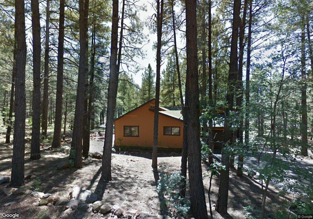
285 E Apache Rd Munds Park, AZ 86017
Munds Park NeighborhoodEstimated Value: $614,000 - $716,000
Studio
2
Baths
1,338
Sq Ft
$503/Sq Ft
Est. Value
About This Home
This home is located at 285 E Apache Rd, Munds Park, AZ 86017 and is currently estimated at $672,705, approximately $502 per square foot. 285 E Apache Rd is a home with nearby schools including Lura Kinsey Elementary School and Flagstaff High School.
Ownership History
Date
Name
Owned For
Owner Type
Purchase Details
Closed on
Sep 12, 2025
Sold by
Plowright Robert J and Plowright Jennifer D
Bought by
Otp Trust and Plowright
Current Estimated Value
Purchase Details
Closed on
Aug 28, 2018
Sold by
Prisbrey Rex P
Bought by
Plowright Robert J and Plowright Jennifer D
Home Financials for this Owner
Home Financials are based on the most recent Mortgage that was taken out on this home.
Original Mortgage
$297,000
Interest Rate
4.5%
Mortgage Type
Unknown
Create a Home Valuation Report for This Property
The Home Valuation Report is an in-depth analysis detailing your home's value as well as a comparison with similar homes in the area
Home Values in the Area
Average Home Value in this Area
Purchase History
| Date | Buyer | Sale Price | Title Company |
|---|---|---|---|
| Otp Trust | -- | None Listed On Document | |
| Plowright Robert J | $330,000 | Pioneer Title Agency |
Source: Public Records
Mortgage History
| Date | Status | Borrower | Loan Amount |
|---|---|---|---|
| Previous Owner | Plowright Robert J | $297,000 |
Source: Public Records
Tax History
| Year | Tax Paid | Tax Assessment Tax Assessment Total Assessment is a certain percentage of the fair market value that is determined by local assessors to be the total taxable value of land and additions on the property. | Land | Improvement |
|---|---|---|---|---|
| 2025 | $3,721 | $55,775 | -- | -- |
| 2024 | $3,721 | $54,959 | -- | -- |
| 2023 | $3,482 | $40,698 | $0 | $0 |
| 2022 | $3,105 | $30,246 | $0 | $0 |
| 2021 | $3,037 | $28,580 | $0 | $0 |
| 2020 | $2,969 | $27,632 | $0 | $0 |
| 2019 | $2,877 | $26,734 | $0 | $0 |
| 2018 | $2,777 | $25,025 | $0 | $0 |
| 2017 | $2,715 | $23,810 | $0 | $0 |
| 2016 | $2,717 | $23,476 | $0 | $0 |
| 2015 | $2,581 | $22,544 | $0 | $0 |
Source: Public Records
Map
Nearby Homes
- 17410 S Peyote Dr
- 480 Cochise Rd
- 17385 S San Carlos Dr
- 315 Sandia Cir
- 17740 Hopi Rd
- 335 Sandia Cir
- 17810 S Walapai Rd Unit 72
- 17612 Fairway Dr
- 17375 Crystal Brook Place
- 605 Hillside Dr
- 370 E San Felipe Place
- 105 Hunter Place
- 17175 Acoma Place
- 85 Bison Dr
- 35 W Campfire Trail
- 715 E Trout Creek Rd
- 17980 S Walapai Rd Unit 22B
- 46 E Oak Dr
- 445 E Oak Dr
- 220 E Oak Dr
- 285 Walapai Rd
- 17550 Apache Rd
- 335 Apache Rd
- 280 Walapai Rd
- 280 E Apache Rd
- 280 E Pinewood Blvd
- 310 E Pinewood Blvd
- 255 Apache Rd
- 17486 Mescalero Dr
- 240 Apache Rd
- 350 Cochise Rd
- 350 Apache Rd
- 240 Apache Trail
- 17490 S Mescalero Dr
- 365 Cochise Rd
- 350 Pinewood Blvd
- 420 W Apache Rd
- 17480 S Mescalero Dr
- 385 E Turkey Trail
- 215 E Apache Rd
Your Personal Tour Guide
Ask me questions while you tour the home.