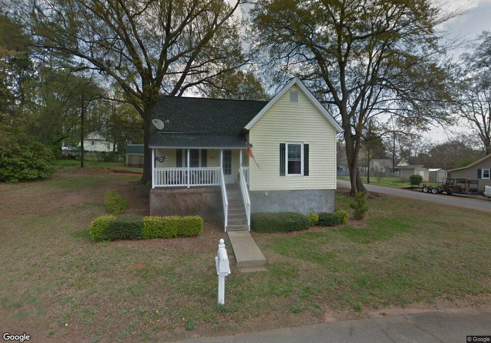
285 E Blue Ridge St Unit Cherry Street Pendleton, SC 29670
Estimated Value: $150,830 - $189,000
2
Beds
1
Bath
966
Sq Ft
$174/Sq Ft
Est. Value
About This Home
This home is located at 285 E Blue Ridge St Unit Cherry Street, Pendleton, SC 29670 and is currently estimated at $167,958, approximately $173 per square foot. 285 E Blue Ridge St Unit Cherry Street is a home located in Anderson County with nearby schools including Pendleton High School.
Ownership History
Date
Name
Owned For
Owner Type
Purchase Details
Closed on
Aug 25, 2022
Sold by
Smith Kevin S
Bought by
Willow 128 Llc
Current Estimated Value
Purchase Details
Closed on
Nov 23, 2016
Sold by
Smith Kevin S and Smith Gloria C
Bought by
Smith Kevin S and Smith Kristina J
Home Financials for this Owner
Home Financials are based on the most recent Mortgage that was taken out on this home.
Original Mortgage
$63,757
Interest Rate
4.2%
Mortgage Type
VA
Purchase Details
Closed on
Jun 4, 2010
Sold by
Federal National Mortgage Association
Bought by
Mace Lee Andrew and Higbie Ryan Scott
Purchase Details
Closed on
Apr 19, 2010
Sold by
Guffee Gary Lee and Guffee Barbara M
Bought by
Federal National Mortgage Association
Create a Home Valuation Report for This Property
The Home Valuation Report is an in-depth analysis detailing your home's value as well as a comparison with similar homes in the area
Home Values in the Area
Average Home Value in this Area
Purchase History
| Date | Buyer | Sale Price | Title Company |
|---|---|---|---|
| Willow 128 Llc | $122,500 | None Listed On Document | |
| Smith Kevin S | -- | None Available | |
| Mace Lee Andrew | $28,500 | -- | |
| Federal National Mortgage Association | $2,500 | -- |
Source: Public Records
Mortgage History
| Date | Status | Borrower | Loan Amount |
|---|---|---|---|
| Previous Owner | Smith Kevin S | $63,757 |
Source: Public Records
Tax History
| Year | Tax Paid | Tax Assessment Tax Assessment Total Assessment is a certain percentage of the fair market value that is determined by local assessors to be the total taxable value of land and additions on the property. | Land | Improvement |
|---|---|---|---|---|
| 2024 | $3,455 | $7,330 | $1,360 | $5,970 |
| 2023 | $3,445 | $7,330 | $1,360 | $5,970 |
| 2022 | $667 | $3,070 | $900 | $2,170 |
| 2021 | $588 | $2,000 | $220 | $1,780 |
| 2020 | $581 | $2,000 | $220 | $1,780 |
| 2019 | $581 | $2,000 | $220 | $1,780 |
| 2018 | $583 | $2,000 | $220 | $1,780 |
| 2017 | -- | $2,990 | $320 | $2,670 |
| 2016 | $643 | $2,210 | $240 | $1,970 |
| 2015 | $643 | $2,210 | $240 | $1,970 |
| 2014 | $650 | $2,210 | $240 | $1,970 |
Source: Public Records
Map
Nearby Homes
- 100 Benjamin Blvd
- 104 Benjamin Blvd
- 436 Bee Cove Way
- 452 Bee Cove Way
- 432 Bee Cove Way
- 202 Bostic Ct
- 305 Smith Ln
- 206 Bostic Ct
- 102 Magnolia Ln
- 205 Bostic Ct
- 100 Old Compton St
- 100 Antique Ct
- 102 Colonial Ct
- 171 E Main St
- 107 Colonial Ct
- 209 Bostic Ct
- 176 Crooked Cedar Way
- 213 Bostic Ct
- 559 Brasstown Ct
- 515 Brasstown Ct
- 285 E Blue Ridge St
- 279 E Blue Ridge St
- 286 Church St
- 303 E Blue Ridge St
- 280 Church St
- 304 Church St
- 274 Church St
- 309 E Blue Ridge St
- 273 E Blue Ridge St
- 310 W Blue Ridge St
- 322 W Blue Ridge St
- 410 Maxwell Ave
- 310 Church St
- 268 Church St
- 315 E Blue Ridge St
- 303 Church St
- 304 W Blue Ridge St
- 328 W Blue Ridge St
- 329 Major St
- 329 Major St Unit PENDLETON
Your Personal Tour Guide
Ask me questions while you tour the home.