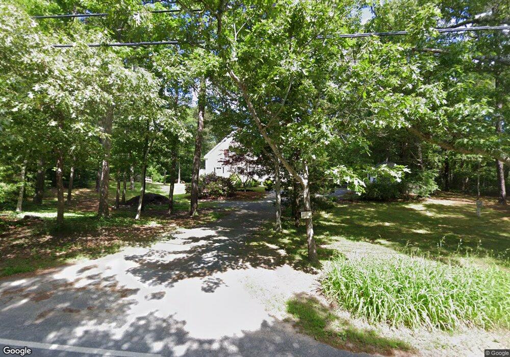
285 Maple St West Barnstable, MA 02668
West Barnstable NeighborhoodEstimated Value: $783,000 - $854,000
3
Beds
3
Baths
2,044
Sq Ft
$396/Sq Ft
Est. Value
About This Home
This home is located at 285 Maple St, West Barnstable, MA 02668 and is currently estimated at $809,084, approximately $395 per square foot. 285 Maple St is a home located in Barnstable County with nearby schools including West Barnstable Elementary School, Barnstable United Elementary School, and Barnstable Intermediate School.
Create a Home Valuation Report for This Property
The Home Valuation Report is an in-depth analysis detailing your home's value as well as a comparison with similar homes in the area
Home Values in the Area
Average Home Value in this Area
Tax History
| Year | Tax Paid | Tax Assessment Tax Assessment Total Assessment is a certain percentage of the fair market value that is determined by local assessors to be the total taxable value of land and additions on the property. | Land | Improvement |
|---|---|---|---|---|
| 2025 | $7,474 | $800,200 | $202,800 | $597,400 |
| 2024 | $6,924 | $807,000 | $202,800 | $604,200 |
| 2023 | $6,510 | $714,600 | $200,400 | $514,200 |
| 2022 | $6,372 | $573,500 | $142,500 | $431,000 |
| 2021 | $5,921 | $505,200 | $142,500 | $362,700 |
| 2020 | $0 | $461,800 | $142,500 | $319,300 |
| 2019 | $5,231 | $426,000 | $142,500 | $283,500 |
| 2018 | $0 | $384,200 | $156,300 | $227,900 |
| 2017 | $4,685 | $382,800 | $156,300 | $226,500 |
| 2016 | $4,590 | $382,800 | $156,300 | $226,500 |
| 2015 | $4,503 | $376,500 | $155,000 | $221,500 |
Source: Public Records
Map
Nearby Homes
- 510 Cedar St
- 6 Harpers Hollow
- 282 Parker Rd
- 46 Service Rd
- 7 Maxwell Ln
- 159 Great Hill Rd
- 3 Mulberry Cir
- 74 Saddler Ln
- 817 Race Ln
- 817 Race Ln
- 29 Appaloosa Way
- 80 Branch Terrace
- 29 Fish House Rd
- 4 Wing Blvd
- 566 Route 6a
- 1028 Old Falmouth Rd
- 324 Patriot Way
- 0 Captain Kidd Rd
- 6 George Gallant Rd
- 87 Foxglove Rd
Your Personal Tour Guide
Ask me questions while you tour the home.