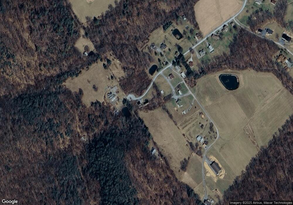
285 Mountain St New Enterprise, PA 16664
Estimated Value: $121,000 - $155,000
--
Bed
--
Bath
996
Sq Ft
$137/Sq Ft
Est. Value
About This Home
This home is located at 285 Mountain St, New Enterprise, PA 16664 and is currently estimated at $136,850, approximately $137 per square foot. 285 Mountain St is a home located in Bedford County with nearby schools including Northern Bedford County Elementary School, Northern Bedford County Middle School/Senior High School, and Northern Bedford County Middle School.
Ownership History
Date
Name
Owned For
Owner Type
Purchase Details
Closed on
Jul 30, 2021
Sold by
Arnold Raymond F
Bought by
Arnold Raymond F and Guyer Michael
Current Estimated Value
Purchase Details
Closed on
Jul 20, 2021
Sold by
Arnold Ii Raymond F
Bought by
Arnold Raymond F and Arnold-Brubaker Hollie
Purchase Details
Closed on
Oct 16, 2007
Sold by
Laborde Stephen C and Laborde Alberta
Bought by
Kellon Kirk and Kellon Julie A
Home Financials for this Owner
Home Financials are based on the most recent Mortgage that was taken out on this home.
Original Mortgage
$78,323
Interest Rate
6.51%
Mortgage Type
New Conventional
Create a Home Valuation Report for This Property
The Home Valuation Report is an in-depth analysis detailing your home's value as well as a comparison with similar homes in the area
Home Values in the Area
Average Home Value in this Area
Purchase History
| Date | Buyer | Sale Price | Title Company |
|---|---|---|---|
| Arnold Raymond F | $47,750 | Southwind Settlement Co | |
| Arnold Raymond F | -- | Southwind Settlement Services | |
| Kellon Kirk | $54,500 | None Available |
Source: Public Records
Mortgage History
| Date | Status | Borrower | Loan Amount |
|---|---|---|---|
| Previous Owner | Kellon Kirk | $78,323 |
Source: Public Records
Tax History Compared to Growth
Tax History
| Year | Tax Paid | Tax Assessment Tax Assessment Total Assessment is a certain percentage of the fair market value that is determined by local assessors to be the total taxable value of land and additions on the property. | Land | Improvement |
|---|---|---|---|---|
| 2025 | $795 | $72,900 | $26,300 | $46,600 |
| 2024 | $975 | $72,900 | $26,300 | $46,600 |
| 2023 | $936 | $72,900 | $26,300 | $46,600 |
| 2022 | $922 | $72,900 | $26,300 | $46,600 |
| 2021 | $886 | $72,900 | $26,300 | $46,600 |
| 2020 | $867 | $72,900 | $26,300 | $46,600 |
| 2019 | $83 | $72,900 | $26,300 | $46,600 |
| 2018 | $83 | $72,900 | $26,300 | $46,600 |
| 2017 | $821 | $72,900 | $26,300 | $46,600 |
| 2016 | -- | $72,900 | $26,300 | $46,600 |
| 2014 | -- | $72,900 | $26,300 | $46,600 |
Source: Public Records
Map
Nearby Homes
- 4059 Imlertown Rd
- Off Kettle Rd
- 0 Church View Rd
- 442 Old Henry Path Rd
- 1754 Woodbury Pike
- 2469 Woodbury Pike
- 244 Heritage Rd
- 1228 Imlertown Rd
- 160 Serenity Cir
- Off Reynoldsdale Rd
- 5822 Business 220
- 826 Recreational Dr
- 1210 Imlertown Rd
- 00 Chalybeate Rd
- 258 Poplar Ave
- 171 Union St
- 178 Old Town Rd
- 3174 Valley Rd
- 407 Upper Snake Spring Rd
- 0 Polecat Hollow Rd Unit 16076093
