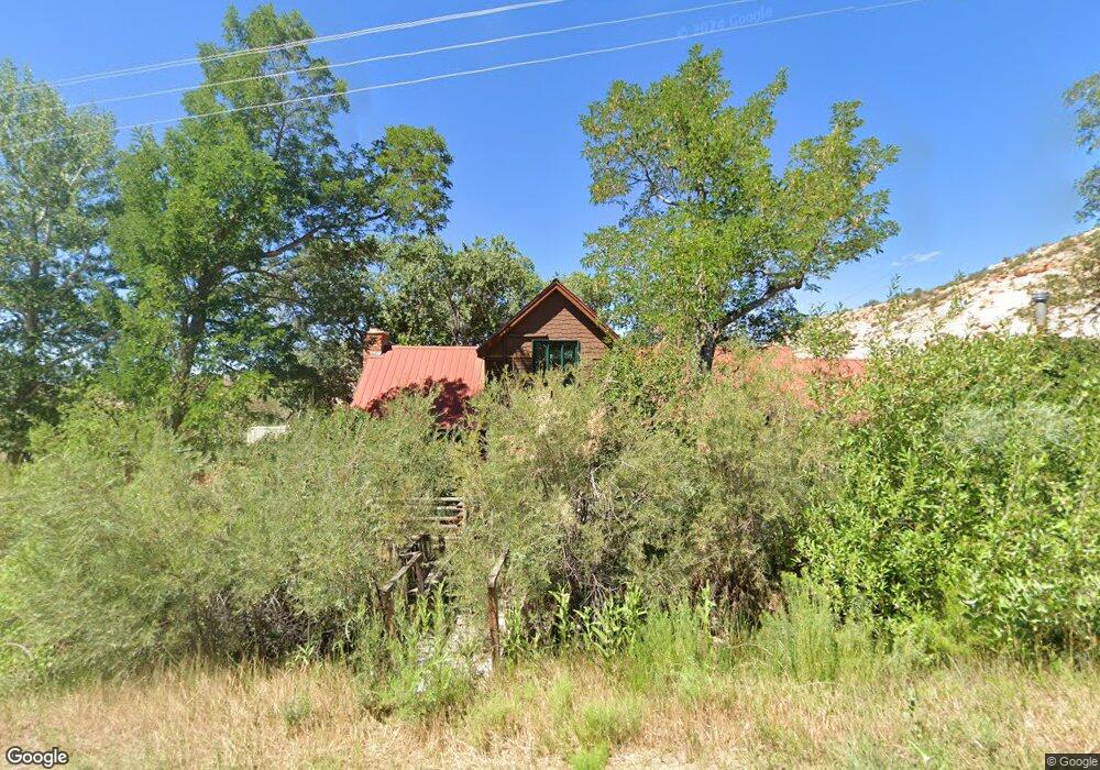
285 N Highway 12 Boulder, UT 84716
Estimated Value: $325,999 - $1,861,000
--
Bed
--
Bath
2,135
Sq Ft
$447/Sq Ft
Est. Value
About This Home
This home is located at 285 N Highway 12, Boulder, UT 84716 and is currently estimated at $955,250, approximately $447 per square foot. 285 N Highway 12 is a home.
Create a Home Valuation Report for This Property
The Home Valuation Report is an in-depth analysis detailing your home's value as well as a comparison with similar homes in the area
Home Values in the Area
Average Home Value in this Area
Tax History Compared to Growth
Tax History
| Year | Tax Paid | Tax Assessment Tax Assessment Total Assessment is a certain percentage of the fair market value that is determined by local assessors to be the total taxable value of land and additions on the property. | Land | Improvement |
|---|---|---|---|---|
| 2024 | $854 | $239,907 | $35,805 | $204,102 |
| 2023 | $752 | $179,813 | $31,000 | $148,813 |
| 2022 | $761 | $172,727 | $31,000 | $141,727 |
| 2021 | $821 | $172,727 | $31,000 | $141,727 |
| 2020 | $775 | $172,727 | $31,000 | $141,727 |
| 2019 | $1,421 | $172,727 | $31,000 | $141,727 |
| 2018 | $1,422 | $165,345 | $0 | $0 |
| 2017 | $1,361 | $165,345 | $0 | $0 |
| 2016 | $1,361 | $165,345 | $0 | $0 |
| 2015 | $1,410 | $165,345 | $0 | $0 |
| 2012 | $1,410 | $160,960 | $0 | $0 |
Source: Public Records
Map
Nearby Homes
- 30 N 400 E
- 301 E 1600 S
- 2405 S Lower Boulder Rd
- 2606 S Lower Boulder Rd
- 2277 E Broken Branch West Dr Unit 28
- 1345 S 1070 E
- 316 N Pinion Branch Dr N Unit 12B
- 1061 E Heritage Ln
- 416 E Main St
- 355 Utah 12
- 0 Parcel 11-002-0189 Highway 12
- 0 Parcel 11-0024-0189 Unit 25-264542
- 385 N 200 W
- 340 E 200 S
- 135 N 100 W
- 533 W 325 N
- 20 S 200 W
- 370 W 100 N
- 579 W 325 N
- 355 W Highway 12