285 Newrell Johnson Ln Mount Airy, NC 27030
Estimated Value: $362,000 - $529,000
5
Beds
3
Baths
3,472
Sq Ft
$127/Sq Ft
Est. Value
About This Home
This home is located at 285 Newrell Johnson Ln, Mount Airy, NC 27030 and is currently estimated at $439,553, approximately $126 per square foot. 285 Newrell Johnson Ln is a home with nearby schools including Westfield Elementary School, Pilot Mountain Middle School, and East Surry High School.
Ownership History
Date
Name
Owned For
Owner Type
Purchase Details
Closed on
May 5, 2023
Sold by
Paul King Jr Thomas and Byrd Jennifer
Bought by
Robertson Sharon R
Current Estimated Value
Home Financials for this Owner
Home Financials are based on the most recent Mortgage that was taken out on this home.
Original Mortgage
$169,998
Outstanding Balance
$165,116
Interest Rate
6.42%
Mortgage Type
Credit Line Revolving
Estimated Equity
$274,437
Purchase Details
Closed on
Sep 1, 1990
Purchase Details
Closed on
Aug 1, 1990
Purchase Details
Closed on
Dec 1, 1989
Create a Home Valuation Report for This Property
The Home Valuation Report is an in-depth analysis detailing your home's value as well as a comparison with similar homes in the area
Home Values in the Area
Average Home Value in this Area
Purchase History
| Date | Buyer | Sale Price | Title Company |
|---|---|---|---|
| Robertson Sharon R | $337,500 | None Listed On Document | |
| Robertson Sharon R | $337,500 | None Listed On Document | |
| Kings Jody Lee | -- | None Listed On Document | |
| Kings Jody Lee | -- | None Listed On Document | |
| -- | $15,000 | -- | |
| -- | $15,000 | -- | |
| -- | -- | -- |
Source: Public Records
Mortgage History
| Date | Status | Borrower | Loan Amount |
|---|---|---|---|
| Open | Robertson Sharon R | $169,998 | |
| Closed | Robertson Sharon R | $169,998 |
Source: Public Records
Tax History Compared to Growth
Tax History
| Year | Tax Paid | Tax Assessment Tax Assessment Total Assessment is a certain percentage of the fair market value that is determined by local assessors to be the total taxable value of land and additions on the property. | Land | Improvement |
|---|---|---|---|---|
| 2025 | $1,933 | $325,210 | $39,490 | $285,720 |
| 2024 | $1,633 | $255,660 | $34,340 | $221,320 |
| 2023 | $1,558 | $323,590 | $34,340 | $289,250 |
| 2022 | $1,651 | $247,460 | $34,340 | $213,120 |
| 2021 | $1,677 | $247,460 | $34,340 | $213,120 |
| 2020 | $2,047 | $297,520 | $34,340 | $263,180 |
| 2019 | $2,041 | $297,520 | $0 | $0 |
| 2018 | $2,047 | $297,520 | $0 | $0 |
| 2017 | $2,034 | $297,520 | $0 | $0 |
| 2016 | $2,032 | $297,520 | $0 | $0 |
| 2013 | -- | $297,520 | $0 | $0 |
Source: Public Records
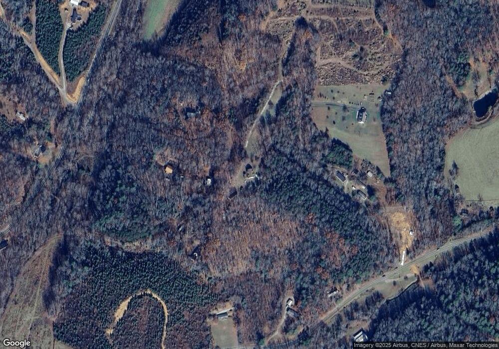
Map
Nearby Homes
- 0 Blue Hollow Rd Unit 33 1176021
- 0 Blue Hollow Rd Unit 23105199
- 000 Blue Hollow Rd Unit 27
- 583 Snody Rd
- 200 Englewood Trail
- 731 Indian Grove Church Rd
- 00 Blue Hollow Rd Unit 5
- 0 NE Pine St
- 00 Paynetown Rd
- 124 Rocky Ln
- 2384 Westfield Rd
- 280 Burke Rd
- 733 Slate Mountain Rd
- 2326 Westfield Rd
- 107 Cory Trail
- Lot 5 Howell Rd
- 140 Daniels Dell Ln
- 335 Badgett Ave
- Lot 4,5,6 Sideview Ln
- 201 Circle View Rd
- 185 Rutledge Trail
- 408 Blue Hollow Rd
- 164 N Newrell Johnson Rd
- 3495 Westfield Rd
- 3515 Westfield Rd
- 3569 Westfield Rd
- 427 Blue Hollow Rd
- 3657 Westfield Rd
- 372 Blue Hollow Rd
- 139 Hyrule Way
- 549 Blue Hollow Rd
- 343 Blue Hollow Rd
- 148 Timmons Ln
- 240 Spring Hollow Trail
- 114 Davis Acres Trail
- 342 Blue Hollow Rd
- 3339 Westfield Rd
- xx Blue Hollow Rd
- 148 Blues Creek Trail
- 553 Blue Hollow Rd