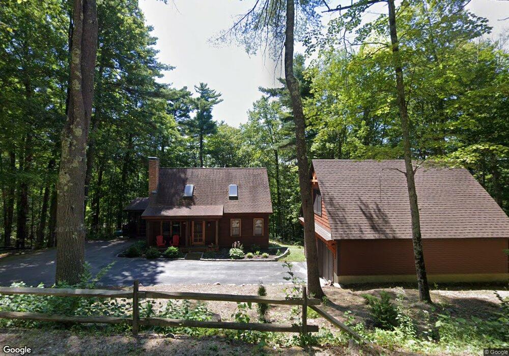
285 Red Hill Rd Unit 1 Moultonborough, NH 03254
Estimated Value: $505,008 - $641,000
2
Beds
2
Baths
1,680
Sq Ft
$336/Sq Ft
Est. Value
About This Home
This home is located at 285 Red Hill Rd Unit 1, Moultonborough, NH 03254 and is currently estimated at $564,752, approximately $336 per square foot. 285 Red Hill Rd Unit 1 is a home located in Carroll County with nearby schools including Moultonborough Central School, Moultonborough Academy High School, and Immaculate Conception Apostolic School.
Ownership History
Date
Name
Owned For
Owner Type
Purchase Details
Closed on
Jun 27, 2008
Sold by
Licata William M and Licata Catherine P
Bought by
Belliveau Jillian A and Baker Candace T
Current Estimated Value
Home Financials for this Owner
Home Financials are based on the most recent Mortgage that was taken out on this home.
Original Mortgage
$203,600
Interest Rate
6.07%
Mortgage Type
Purchase Money Mortgage
Create a Home Valuation Report for This Property
The Home Valuation Report is an in-depth analysis detailing your home's value as well as a comparison with similar homes in the area
Home Values in the Area
Average Home Value in this Area
Purchase History
| Date | Buyer | Sale Price | Title Company |
|---|---|---|---|
| Belliveau Jillian A | $255,000 | -- |
Source: Public Records
Mortgage History
| Date | Status | Borrower | Loan Amount |
|---|---|---|---|
| Open | Belliveau Jillian A | $144,000 | |
| Closed | Belliveau Jillian A | $203,600 |
Source: Public Records
Tax History Compared to Growth
Tax History
| Year | Tax Paid | Tax Assessment Tax Assessment Total Assessment is a certain percentage of the fair market value that is determined by local assessors to be the total taxable value of land and additions on the property. | Land | Improvement |
|---|---|---|---|---|
| 2024 | $2,506 | $443,600 | $195,300 | $248,300 |
| 2023 | $2,248 | $394,400 | $149,500 | $244,900 |
| 2022 | $1,516 | $317,100 | $134,600 | $182,500 |
| 2021 | $1,871 | $268,000 | $110,000 | $158,000 |
| 2020 | $1,828 | $256,400 | $110,000 | $146,400 |
| 2019 | $1,750 | $244,800 | $110,000 | $134,800 |
| 2018 | $1,790 | $231,900 | $101,800 | $130,100 |
| 2017 | $1,818 | $221,200 | $104,700 | $116,500 |
| 2016 | $1,935 | $221,400 | $104,700 | $116,700 |
| 2015 | $1,899 | $210,800 | $104,700 | $106,100 |
| 2014 | $1,786 | $201,600 | $104,700 | $96,900 |
| 2013 | $1,752 | $201,600 | $104,700 | $96,900 |
Source: Public Records
Map
Nearby Homes
- 21 Burton Rd
- 100 Marvin Rd
- 25 Whittier Hwy
- 11 Jennifer's Path
- 525 Whittier Hwy
- 00 Whittier Hwy Unit 8
- 38 Lake Shore Dr Unit 12
- 38 Lake Shore Dr Unit 10
- 52 Chase Cir
- 647 Whittier Hwy
- 20 Coe Hill Rd
- 4 Schneider Rd
- 24 Dew Point Ln
- 53 Bay Dr
- 33 Blackadar Ln
- 122 Coe Hill Rd
- M:027 L:002-001 Sheridan Rd
- M:027 L:002 Sheridan Rd
- 145 Hanson Dr
- 69 Buoniello Rd
- 289 Red Hill Rd
- 277 Red Hill Rd
- 59 Brick Kiln Rd
- 70 Brick Kiln Rd
- 50 Brick Kiln Rd
- 0 Red Hill Rd
- 0 Red Hill Rd Unit 4055190
- 301 Red Hill Rd
- 49 Brick Kiln Rd
- 240 Red Hill Rd
- 9 Willow Terrace
- 321 Red Hill Rd
- 39 Brick Kiln Rd
- 4 Willow Terrace
- 10 Willow Terrace
- 12 Willow Terrace
- 304 Red Hill Rd
- 304 Red Hill Rd Unit Lot 3
- 21 Brick Kiln Rd
- 14 Brick Kiln Rd