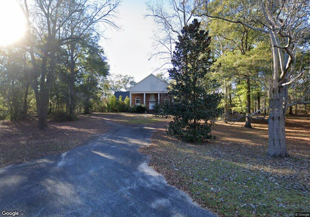
285 Rivervale Dr Bainbridge, GA 39817
Estimated Value: $393,000 - $498,000
Studio
1
Bath
3,874
Sq Ft
$116/Sq Ft
Est. Value
About This Home
This home is located at 285 Rivervale Dr, Bainbridge, GA 39817 and is currently estimated at $449,738, approximately $116 per square foot. 285 Rivervale Dr is a home located in Decatur County with nearby schools including Bainbridge High School.
Ownership History
Date
Name
Owned For
Owner Type
Purchase Details
Closed on
Jun 3, 2025
Sold by
Lawrence Wayne
Bought by
Lawrence Linda Carol
Current Estimated Value
Purchase Details
Closed on
Jan 24, 2014
Sold by
Brock Construction & Rea
Bought by
Decatur County Development Llc
Purchase Details
Closed on
Jan 4, 2006
Sold by
Lomax Larry P
Bought by
Lawrence Wayne
Purchase Details
Closed on
Jan 3, 2006
Sold by
Lomax Larry P
Bought by
Lawrence Wayne
Purchase Details
Closed on
Jun 10, 2005
Sold by
Davis Robert
Bought by
Lomax Larry P and Lomax Lauren R
Home Financials for this Owner
Home Financials are based on the most recent Mortgage that was taken out on this home.
Original Mortgage
$252,000
Interest Rate
5.63%
Mortgage Type
New Conventional
Create a Home Valuation Report for This Property
The Home Valuation Report is an in-depth analysis detailing your home's value as well as a comparison with similar homes in the area
Purchase History
| Date | Buyer | Sale Price | Title Company |
|---|---|---|---|
| Lawrence Linda Carol | -- | -- | |
| Decatur County Development Llc | $1,370,000 | -- | |
| Lawrence Wayne | $350,000 | -- | |
| Lawrence Wayne | $350,000 | -- | |
| Lomax Larry P | $315,000 | -- |
Source: Public Records
Mortgage History
| Date | Status | Borrower | Loan Amount |
|---|---|---|---|
| Previous Owner | Lomax Larry P | $252,000 |
Source: Public Records
Tax History
| Year | Tax Paid | Tax Assessment Tax Assessment Total Assessment is a certain percentage of the fair market value that is determined by local assessors to be the total taxable value of land and additions on the property. | Land | Improvement |
|---|---|---|---|---|
| 2024 | $5,026 | $159,018 | $32,000 | $127,018 |
| 2023 | $4,660 | $147,860 | $31,002 | $116,858 |
| 2022 | $4,560 | $147,860 | $31,002 | $116,858 |
| 2021 | $5,360 | $169,272 | $32,000 | $137,272 |
| 2020 | $5,192 | $155,227 | $32,000 | $123,227 |
| 2019 | $5,129 | $147,612 | $32,000 | $115,612 |
| 2018 | $5,070 | $147,612 | $32,000 | $115,612 |
| 2017 | $4,922 | $140,770 | $32,000 | $108,770 |
| 2016 | $4,922 | $140,770 | $32,000 | $108,770 |
| 2015 | $5,061 | $140,770 | $32,000 | $108,770 |
| 2014 | $4,691 | $140,770 | $32,000 | $108,770 |
| 2013 | -- | $140,770 | $32,000 | $108,770 |
Source: Public Records
Map
Nearby Homes
- Tract 1 Rivervale Dr
- 141 Aryola Dr
- 150 Rivervale Dr
- 116 Flint River Heights Rd
- 0 Pine St Unit 10993
- 1813 E Forest Ln
- 000 E River Rd
- 1002 Mildred St
- 2032 Lexington Ave
- 1302 Majestic Ave
- 1215 Majestic Ave
- 757 Manhole Rd
- 1606 Hemlock St
- 1702 Vada Rd
- 1503 Smart St
- 709 N Miller Ave
- 533 Flint River Heights Rd
- 604 Martin St
- 00 Manhole Rd
- 936 Cooper St
- Lot 16 River Vale
- 293 Rivervale Dr
- 271 Rivervale Dr
- 301 Rivervale Dr
- 267 Rivervale Dr
- 73.44 Ac Rivervale Road On the East Side
- 261 Rivervale Dr
- 245 Rivervale Dr
- 239 Rivervale Dr
- 233 Rivervale Dr
- 102 River Ridge Dr
- 104 River Ridge Dr
- 110 River Ridge Dr
- 223 Rivervale Dr
- 114 River Ridge Dr
- 122 River Ridge Dr
- 219 Rivervale Dr
- 134 Oak Ridge Ln
- 101 River Ridge Dr
- 124 River Ridge Dr