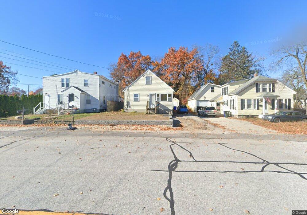
285 S Elm St Manchester, NH 03103
Bakersville NeighborhoodEstimated Value: $396,000 - $432,488
2
Beds
3
Baths
1,322
Sq Ft
$314/Sq Ft
Est. Value
About This Home
This home is located at 285 S Elm St, Manchester, NH 03103 and is currently estimated at $414,622, approximately $313 per square foot. 285 S Elm St is a home located in Hillsborough County with nearby schools including Bakersville School, Southside Middle School, and Manchester Memorial High School.
Ownership History
Date
Name
Owned For
Owner Type
Purchase Details
Closed on
Dec 20, 2002
Sold by
Lochmandy Tyrone P and Lochmandy Kelley A
Bought by
Ashby Alain and Ashby Patricia
Current Estimated Value
Home Financials for this Owner
Home Financials are based on the most recent Mortgage that was taken out on this home.
Original Mortgage
$161,900
Outstanding Balance
$69,143
Interest Rate
6.16%
Estimated Equity
$345,479
Purchase Details
Closed on
Jul 31, 2001
Sold by
Harper Scott A and Harper Marcia K
Bought by
Lochmandy Tyrone P and Lochmandy Kelley A
Home Financials for this Owner
Home Financials are based on the most recent Mortgage that was taken out on this home.
Original Mortgage
$142,759
Interest Rate
7.18%
Create a Home Valuation Report for This Property
The Home Valuation Report is an in-depth analysis detailing your home's value as well as a comparison with similar homes in the area
Home Values in the Area
Average Home Value in this Area
Purchase History
| Date | Buyer | Sale Price | Title Company |
|---|---|---|---|
| Ashby Alain | $167,000 | -- | |
| Lochmandy Tyrone P | $145,000 | -- |
Source: Public Records
Mortgage History
| Date | Status | Borrower | Loan Amount |
|---|---|---|---|
| Open | Lochmandy Tyrone P | $161,900 | |
| Previous Owner | Lochmandy Tyrone P | $142,759 |
Source: Public Records
Tax History Compared to Growth
Tax History
| Year | Tax Paid | Tax Assessment Tax Assessment Total Assessment is a certain percentage of the fair market value that is determined by local assessors to be the total taxable value of land and additions on the property. | Land | Improvement |
|---|---|---|---|---|
| 2024 | $5,222 | $266,700 | $93,300 | $173,400 |
| 2023 | $5,030 | $266,700 | $93,300 | $173,400 |
| 2022 | $4,865 | $266,700 | $93,300 | $173,400 |
| 2021 | $4,715 | $266,700 | $93,300 | $173,400 |
| 2020 | $4,251 | $172,400 | $58,200 | $114,200 |
| 2019 | $4,193 | $172,400 | $58,200 | $114,200 |
| 2018 | $4,082 | $172,400 | $58,200 | $114,200 |
| 2017 | $4,020 | $172,400 | $58,200 | $114,200 |
| 2016 | $3,989 | $172,400 | $58,200 | $114,200 |
| 2015 | $3,978 | $169,700 | $55,200 | $114,500 |
| 2014 | $3,988 | $169,700 | $55,200 | $114,500 |
| 2013 | $3,847 | $169,700 | $55,200 | $114,500 |
Source: Public Records
Map
Nearby Homes
- 33 W Elmhurst Ave Unit B
- 60 W Elmwood Ave
- 47 Rosedale Ave
- 87 Harrington Ave
- 35 W Mitchell St
- 106 W Hillcrest Ave
- 118 W Hillcrest Ave
- 160 S Elm St
- 56 Robert Ct Unit H
- 202 Mitchell St
- 80 Billings St
- 161 Flint St
- 131 Calef Rd
- 545 Calef Rd Unit 26
- 412 W Mitchell St
- 700 S Beech St
- 152 Oakdale Ave
- 63 Parkview St
- 112 Riverdale Ave
- 87 S Wilson St
- 283 S Elm St
- 299 S Elm St
- 305 S Elm St
- 265 S Elm St
- 22 W Elmhurst Ave
- 25 W Harrington Ave
- 4 W Elmhurst Ave
- 32 W Elmhurst Ave
- 286 S Elm St
- 323 S Elm St
- 5 Rockwood Way
- 7 Rockwood Way
- 3 Rockwood Way
- 1 Rockwood Way
- 42 W Elmhurst Ave
- 42 W Elmhurst Ave Unit 1
- 42 W Elmhurst Ave Unit 2
- 26 W Harrington Ave
- 24 W Harrington Ave
- 259 S Elm St