Estimated Value: $336,000 - $475,000
3
Beds
1
Bath
1,518
Sq Ft
$268/Sq Ft
Est. Value
About This Home
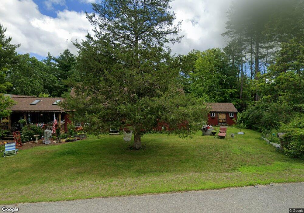
This home is located at 285 S Sugar Hill Rd, Weare, NH 03281 and is currently estimated at $407,411, approximately $268 per square foot. 285 S Sugar Hill Rd is a home with nearby schools including Center Woods Elementary School, Weare Middle School, and John Stark Regional High School.
Ownership History
Date
Name
Owned For
Owner Type
Purchase Details
Closed on
Aug 20, 2002
Sold by
Robert Leslie Knox T
Bought by
Gilman David
Current Estimated Value
Home Financials for this Owner
Home Financials are based on the most recent Mortgage that was taken out on this home.
Original Mortgage
$140,000
Outstanding Balance
$59,495
Interest Rate
6.61%
Estimated Equity
$347,916
Create a Home Valuation Report for This Property
The Home Valuation Report is an in-depth analysis detailing your home's value as well as a comparison with similar homes in the area
Home Values in the Area
Average Home Value in this Area
Purchase History
| Date | Buyer | Sale Price | Title Company |
|---|---|---|---|
| Gilman David | $175,000 | -- |
Source: Public Records
Mortgage History
| Date | Status | Borrower | Loan Amount |
|---|---|---|---|
| Open | Gilman David | $140,000 |
Source: Public Records
Tax History Compared to Growth
Tax History
| Year | Tax Paid | Tax Assessment Tax Assessment Total Assessment is a certain percentage of the fair market value that is determined by local assessors to be the total taxable value of land and additions on the property. | Land | Improvement |
|---|---|---|---|---|
| 2024 | $4,965 | $243,510 | $91,610 | $151,900 |
| 2023 | $4,599 | $244,092 | $92,192 | $151,900 |
| 2022 | $4,247 | $244,076 | $92,176 | $151,900 |
| 2021 | $4,197 | $243,999 | $92,099 | $151,900 |
| 2020 | $4,468 | $186,573 | $73,373 | $113,200 |
| 2019 | $5,591 | $186,373 | $73,373 | $113,000 |
| 2018 | $4,294 | $186,462 | $73,462 | $113,000 |
| 2016 | $4,170 | $186,409 | $73,409 | $113,000 |
| 2015 | $4,261 | $190,159 | $67,359 | $122,800 |
| 2014 | $4,225 | $190,233 | $67,433 | $122,800 |
| 2013 | $4,142 | $190,435 | $81,235 | $109,200 |
Source: Public Records
Map
Nearby Homes
- 57 Lyndsey Ln
- 0 Als Dr Unit 196
- 732 Concord Stage Rd Unit 5
- 40 N Woods Rd
- 0 Huntington Hill Rd Unit 69
- 849 River Rd
- 92 Woodbury Rd
- 1003 School St
- 15 Robert Rogers Rd
- 10 Sap House Rd
- 464 Irish Hill Rd
- 256-0-17 Jewett Rd
- 256 Irish Hill Rd
- 541 South Rd
- 3 Stephanie Rd
- I3-03-05 Clinton St
- 250 Grapevine Rd
- 0 Farrington Corner Rd Unit 14
- 102 Fieldstone Rd
- 8 Longview Dr
- 293 S Sugar Hill Rd
- 294 S Sugar Hill Rd
- 311 S Sugar Hill Rd
- 6 Dunbar Rd
- 406-3 S Sugar Hill Rd
- 14 Dunbar Rd
- 248 S Sugar Hill Rd
- 332 S Sugar Hill Rd
- 238 S Sugar Hill Rd
- 352 S Sugar Hill Rd
- 66 Dunbar Rd
- 64 Dunbar Rd
- 175 Cross Rd
- 62 Dunbar Rd
- 370 S Sugar Hill Rd
- 198 S Sugar Hill Rd
- 132 Cross Rd
- 31 Sewell Hoyt Rd
- 80 Dunbar Rd
- 112 Cross Rd