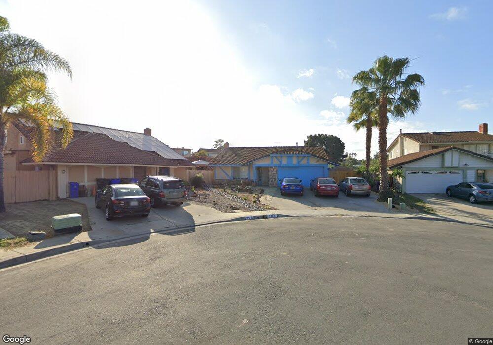
285 Terol Ct San Diego, CA 92114
Encanto NeighborhoodEstimated Value: $793,632 - $868,000
3
Beds
2
Baths
1,925
Sq Ft
$427/Sq Ft
Est. Value
About This Home
This home is located at 285 Terol Ct, San Diego, CA 92114 and is currently estimated at $822,408, approximately $427 per square foot. 285 Terol Ct is a home located in San Diego County with nearby schools including Encanto Elementary School, Millennial Tech Middle School, and Lincoln High School.
Ownership History
Date
Name
Owned For
Owner Type
Purchase Details
Closed on
Jun 14, 2021
Sold by
Watkins Mark A and Watkins Angelia D
Bought by
Watkins Mark A and Watkins Angelia D
Current Estimated Value
Home Financials for this Owner
Home Financials are based on the most recent Mortgage that was taken out on this home.
Original Mortgage
$413,497
Outstanding Balance
$374,370
Interest Rate
2.9%
Mortgage Type
New Conventional
Estimated Equity
$448,038
Purchase Details
Closed on
Jul 22, 1988
Bought by
Watkins Mark A Angelia D
Purchase Details
Closed on
Jun 1, 1984
Create a Home Valuation Report for This Property
The Home Valuation Report is an in-depth analysis detailing your home's value as well as a comparison with similar homes in the area
Home Values in the Area
Average Home Value in this Area
Purchase History
| Date | Buyer | Sale Price | Title Company |
|---|---|---|---|
| Watkins Mark A | -- | Atlas Title Company | |
| Watkins Mark A Angelia D | $105,500 | -- | |
| -- | $81,000 | -- |
Source: Public Records
Mortgage History
| Date | Status | Borrower | Loan Amount |
|---|---|---|---|
| Open | Watkins Mark A | $413,497 |
Source: Public Records
Tax History Compared to Growth
Tax History
| Year | Tax Paid | Tax Assessment Tax Assessment Total Assessment is a certain percentage of the fair market value that is determined by local assessors to be the total taxable value of land and additions on the property. | Land | Improvement |
|---|---|---|---|---|
| 2025 | $3,535 | $297,815 | $61,085 | $236,730 |
| 2024 | $3,535 | $291,977 | $59,888 | $232,089 |
| 2023 | $2,279 | $190,253 | $58,714 | $131,539 |
| 2022 | $2,217 | $186,523 | $57,563 | $128,960 |
| 2021 | $2,200 | $182,867 | $56,435 | $126,432 |
| 2020 | $2,173 | $180,993 | $55,857 | $125,136 |
| 2019 | $2,133 | $177,445 | $54,762 | $122,683 |
| 2018 | $1,994 | $173,967 | $53,689 | $120,278 |
| 2017 | $80 | $170,557 | $52,637 | $117,920 |
| 2016 | $1,911 | $167,213 | $51,605 | $115,608 |
| 2015 | $1,882 | $164,702 | $50,830 | $113,872 |
| 2014 | $1,852 | $161,477 | $49,835 | $111,642 |
Source: Public Records
Map
Nearby Homes
- 201 Treewood St Unit 1
- 6431-37 Madrone Ave
- 407 66th St
- 323 S 65th St
- 540 65th St
- 402 63rd St Unit 31
- 402 63rd St Unit 90
- 6450 Duluth Ave
- 6461 Duluth Ave
- 327 61st St
- 506 62nd St Unit 5
- 510 62nd St Unit 9
- 514 62nd St Unit 19
- 701 66th St Unit 2,03,04,05,10
- 564 S 66th St
- 190 61st St
- 0 S 66th St Unit 40 240014844
- 0 S 66th St Unit PTP2407189
- 0 S 66th St Unit 9 250040048
- 0 S 66th St Unit PTP2506985