285 Turner Cove Way Wakefield, RI 02879
Estimated Value: $548,000 - $2,830,000
3
Beds
2
Baths
1,152
Sq Ft
$1,665/Sq Ft
Est. Value
About This Home
This home is located at 285 Turner Cove Way, Wakefield, RI 02879 and is currently estimated at $1,918,440, approximately $1,665 per square foot. 285 Turner Cove Way is a home with nearby schools including South Kingstown High School.
Ownership History
Date
Name
Owned For
Owner Type
Purchase Details
Closed on
Dec 28, 2012
Sold by
Arnold Arthur P and Arnold Betty J
Bought by
Arnold Irt
Current Estimated Value
Purchase Details
Closed on
Jul 21, 2003
Sold by
Higginbottom Mary E
Bought by
Arnold Arthur P and Arnold Betty J
Home Financials for this Owner
Home Financials are based on the most recent Mortgage that was taken out on this home.
Original Mortgage
$535,000
Interest Rate
5.34%
Create a Home Valuation Report for This Property
The Home Valuation Report is an in-depth analysis detailing your home's value as well as a comparison with similar homes in the area
Home Values in the Area
Average Home Value in this Area
Purchase History
| Date | Buyer | Sale Price | Title Company |
|---|---|---|---|
| Arnold Irt | -- | -- | |
| Arnold Arthur P | $895,000 | -- |
Source: Public Records
Mortgage History
| Date | Status | Borrower | Loan Amount |
|---|---|---|---|
| Previous Owner | Arnold Arthur P | $535,000 |
Source: Public Records
Tax History Compared to Growth
Tax History
| Year | Tax Paid | Tax Assessment Tax Assessment Total Assessment is a certain percentage of the fair market value that is determined by local assessors to be the total taxable value of land and additions on the property. | Land | Improvement |
|---|---|---|---|---|
| 2025 | $21,735 | $2,431,200 | $1,665,900 | $765,300 |
| 2024 | $23,238 | $2,103,000 | $1,358,100 | $744,900 |
| 2023 | $23,238 | $2,103,000 | $1,358,100 | $744,900 |
| 2022 | $23,028 | $2,103,000 | $1,358,100 | $744,900 |
| 2021 | $20,296 | $1,404,600 | $853,700 | $550,900 |
| 2020 | $20,296 | $1,404,600 | $853,700 | $550,900 |
| 2019 | $20,296 | $1,404,600 | $853,700 | $550,900 |
| 2018 | $19,940 | $1,271,700 | $820,900 | $450,800 |
| 2017 | $19,470 | $1,271,700 | $820,900 | $450,800 |
| 2016 | $19,190 | $1,271,700 | $820,900 | $450,800 |
| 2015 | $18,472 | $1,190,200 | $747,300 | $442,900 |
| 2014 | $18,424 | $1,190,200 | $747,300 | $442,900 |
Source: Public Records
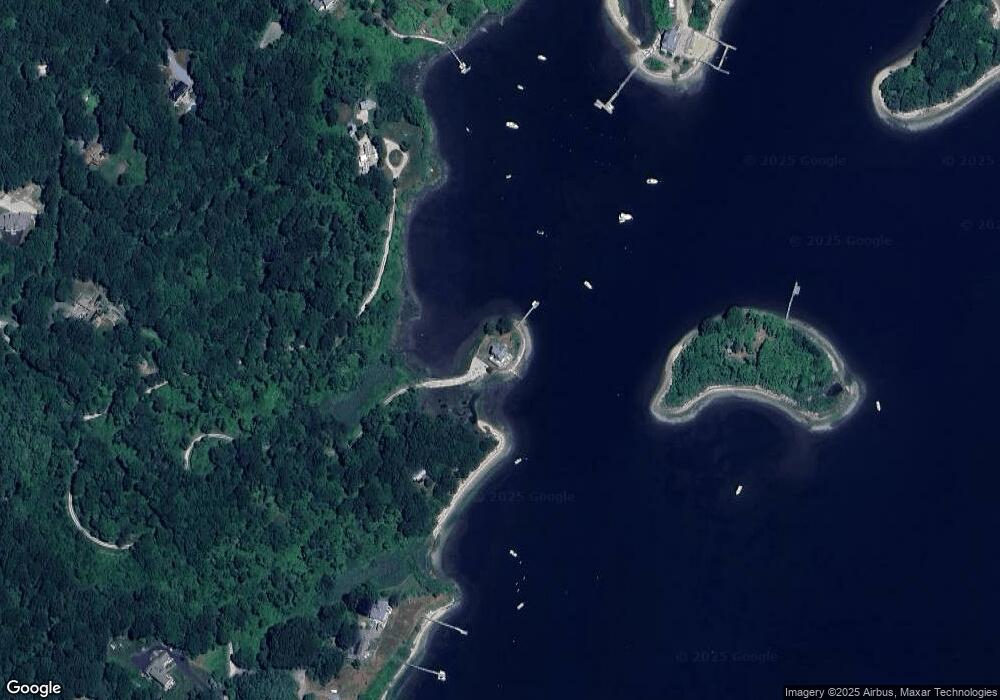
Map
Nearby Homes
- 380 Camp Fuller Rd
- 40 Wild Rose Ct
- 16 High Tides Ln
- 103 Cedar Island Rd
- 23 E Matunuck Farm Dr
- 17 Goose Island Rd
- 25 Scallop Shell Rd
- 2139 Commodore Oliver Hazard Perry Hwy
- 76 Hartford Ave
- 62 Daytona Ave
- 1591 Commodore Perry Hwy
- 60 Daytona Ave
- 45 Durkin Dr
- 689 Succotash Rd
- 691 Succotash Rd
- 580 Point Judith Rd
- 576 Point Judith Rd
- 660 Point Judith Rd Unit D2
- 1185 Succotash Rd
- 14 E Pointe Ct Unit 14
- 265 Turner Cove Way
- 118 Turner Cove Way
- 557 Camp Fuller Rd
- 73 Fire Lane 3
- 73 Fire Lane 3
- 73 Fire Lane 3
- 73 Fire Lane 3
- 73 Fire Lane 3
- 571 Camp Fuller Rd
- 485 Camp Fuller Rd
- 84 Turner Cove Way
- 591 Camp Fuller Rd
- 455 Camp Fuller Rd
- 605 Camp Fuller Rd
- 76 Fire Lane 3
- 41 Fire Lane 3
- 19 Fire La 3
- 27 Fire Lane 3
- 35 Fire Lane 2
- 35 Fire Lane 2