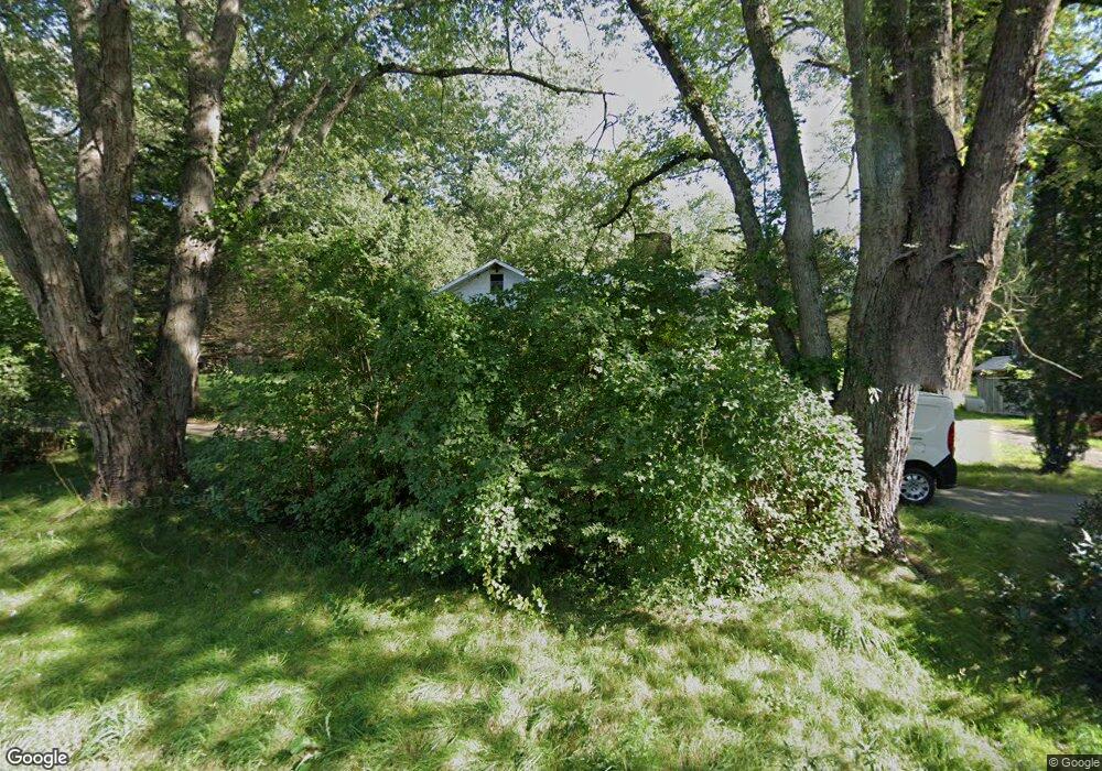
285 W Thompson Rd Thompson, CT 06277
Estimated Value: $279,000 - $397,000
2
Beds
1
Bath
1,416
Sq Ft
$241/Sq Ft
Est. Value
About This Home
This home is located at 285 W Thompson Rd, Thompson, CT 06277 and is currently estimated at $341,793, approximately $241 per square foot. 285 W Thompson Rd is a home located in Windham County with nearby schools including Mary R. Fisher Elementary School, Thompson Middle School, and Tourtellotte Memorial High School.
Ownership History
Date
Name
Owned For
Owner Type
Purchase Details
Closed on
Apr 22, 2013
Sold by
Poitras Sandra
Bought by
Poitras Ronald
Current Estimated Value
Home Financials for this Owner
Home Financials are based on the most recent Mortgage that was taken out on this home.
Original Mortgage
$255,000
Outstanding Balance
$247,031
Interest Rate
3.52%
Mortgage Type
New Conventional
Estimated Equity
$94,762
Create a Home Valuation Report for This Property
The Home Valuation Report is an in-depth analysis detailing your home's value as well as a comparison with similar homes in the area
Home Values in the Area
Average Home Value in this Area
Purchase History
| Date | Buyer | Sale Price | Title Company |
|---|---|---|---|
| Poitras Ronald | -- | -- | |
| Poitras Ronald | -- | -- |
Source: Public Records
Mortgage History
| Date | Status | Borrower | Loan Amount |
|---|---|---|---|
| Open | Poitras Ronald | $255,000 | |
| Closed | Poitras Ronald | $255,000 | |
| Previous Owner | Poitras Ronald | $56,000 |
Source: Public Records
Tax History Compared to Growth
Tax History
| Year | Tax Paid | Tax Assessment Tax Assessment Total Assessment is a certain percentage of the fair market value that is determined by local assessors to be the total taxable value of land and additions on the property. | Land | Improvement |
|---|---|---|---|---|
| 2025 | $3,621 | $190,600 | $55,300 | $135,300 |
| 2024 | $3,458 | $123,000 | $41,700 | $81,300 |
| 2023 | $3,198 | $123,000 | $41,700 | $81,300 |
| 2022 | $3,077 | $123,000 | $41,700 | $81,300 |
| 2021 | $3,069 | $123,000 | $41,700 | $81,300 |
| 2020 | $2,980 | $123,000 | $41,700 | $81,300 |
| 2019 | $3,025 | $109,000 | $44,300 | $64,700 |
| 2018 | $3,025 | $109,000 | $44,300 | $64,700 |
| 2017 | $2,841 | $109,000 | $44,300 | $64,700 |
| 2016 | $2,841 | $109,000 | $44,300 | $64,700 |
| 2015 | $2,703 | $109,000 | $44,300 | $64,700 |
| 2014 | $2,804 | $122,600 | $54,100 | $68,500 |
Source: Public Records
Map
Nearby Homes
- 171 David Cir
- 0 Church St
- 117 Woodside St
- 32 Breault St
- 53 Cleveland St
- 109 Battey St
- 21 Senexet Rd
- 39 Battey St
- 12 Battey St
- 99 Azud Rd
- 171 Providence St
- 6 Harrisville Rd
- 252 Church St
- 66 Bates Ave
- 20 Knollwoods Ln
- 76 S Prospect St
- 130 Tripp Rd
- 10 Market St
- 26 Barber St Unit 28
- 257 Sabin St Unit 23
- 275 W Thompson Rd
- 297 W Thompson Rd
- 261 W Thompson Rd
- 294 W Thompson Rd
- 23 Messier Rd
- 266 W Thompson Rd
- Lot 1 Quinebaug Rd
- LOT 5G E Thompson Rd
- LOT 5F E Thompson Rd
- Lot 1-B Riverside Dr
- 0 W Thompson Rd Unit 170078681
- 0 W Thompson Rd Unit G541208
- 0 W Thompson Rd Unit E241315
- 0 W Thompson Rd Unit E265132
- 0 W Thompson Rd Unit E265117
- 0 W Thompson Rd Unit E10238247
- 0 W Thompson Rd Unit E270535
- 0 W Thompson Rd Unit E270534
- 0 W Thompson Rd Unit 70764794
- 0 W Thompson Rd Unit 72110607