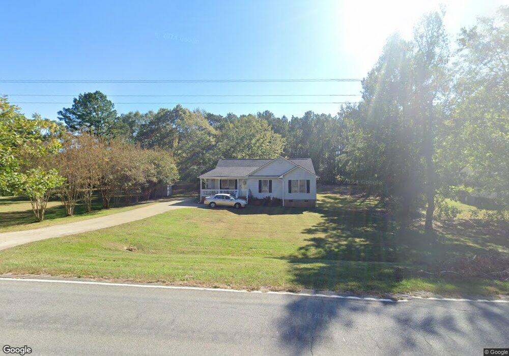
285 Walnut Grove Rd Roebuck, SC 29376
Estimated Value: $235,000 - $265,000
3
Beds
2
Baths
1,442
Sq Ft
$173/Sq Ft
Est. Value
About This Home
This home is located at 285 Walnut Grove Rd, Roebuck, SC 29376 and is currently estimated at $249,027, approximately $172 per square foot. 285 Walnut Grove Rd is a home located in Spartanburg County with nearby schools including Dorman High School Freshman Campus and Dorman High School.
Ownership History
Date
Name
Owned For
Owner Type
Purchase Details
Closed on
Jun 19, 2025
Sold by
Smith Mary G
Bought by
Mary Glenn Smith Revocable Living Trust and Smith
Current Estimated Value
Purchase Details
Closed on
Apr 27, 2005
Sold by
Spartanburg Residential Development Corp
Bought by
Smith Mary G
Purchase Details
Closed on
Sep 21, 2004
Sold by
Turner Wayne S and Turner Teresa L
Bought by
Spartanburg Residential Development Corp
Create a Home Valuation Report for This Property
The Home Valuation Report is an in-depth analysis detailing your home's value as well as a comparison with similar homes in the area
Purchase History
| Date | Buyer | Sale Price | Title Company |
|---|---|---|---|
| Mary Glenn Smith Revocable Living Trust | -- | None Listed On Document | |
| Smith Mary G | $102,900 | -- | |
| Spartanburg Residential Development Corp | $13,500 | -- |
Source: Public Records
Tax History
| Year | Tax Paid | Tax Assessment Tax Assessment Total Assessment is a certain percentage of the fair market value that is determined by local assessors to be the total taxable value of land and additions on the property. | Land | Improvement |
|---|---|---|---|---|
| 2025 | $700 | $5,644 | $683 | $4,961 |
| 2024 | $700 | $5,644 | $683 | $4,961 |
| 2023 | $700 | $5,644 | $683 | $4,961 |
| 2022 | $584 | $4,908 | $664 | $4,244 |
| 2021 | $577 | $4,908 | $664 | $4,244 |
| 2020 | $560 | $4,908 | $664 | $4,244 |
| 2019 | $545 | $4,908 | $664 | $4,244 |
| 2018 | $547 | $4,908 | $664 | $4,244 |
| 2017 | $433 | $4,268 | $720 | $3,548 |
| 2016 | $443 | $4,268 | $720 | $3,548 |
| 2015 | $434 | $4,268 | $720 | $3,548 |
| 2014 | $744 | $4,268 | $720 | $3,548 |
Source: Public Records
Map
Nearby Homes
- 603 Charles Moore Ct
- 310 Templeton Dr
- Harrison Rd
- Harrison Rd
- 305 Lawtonwood Ln
- 245 Thorncrest Dr
- 0 Cavalier Conection Dr Unit 298383
- 115 Otts Shoals Rd
- 409 Balfour Rd
- 100 Caroline Dr
- 0 Independence Ct
- 228 Muirfield Dr
- 110 Matilda St
- 881 Inverness Cir
- 388 Pinehurst Dr
- 811 S Edisto River Dr
- 10 Torrey Pine Ct
- 228 Indian Wells Dr
- 904 Mcabee Rd
- 109 Muirfield Dr
- 295 Walnut Grove Rd
- 502 Station East Ln
- 508 Station East Ln
- 508 Station Ln E
- 319 Walnut Grove Rd
- 514 Station East Ln
- 605 Station West Ln
- 503 Station East Ln
- 503 Station Ln E
- 606 Station West Ln
- 509 Station East Ln
- 611 Station West Ln
- 520 Station East Ln
- 255 Walnut Grove Rd
- 612 Station West Ln
- 521 Station East Ln
- 254 Walnut Grove Rd
- 617 Station West Ln
- 515 Station East Ln
- 618 Station West Ln
Your Personal Tour Guide
Ask me questions while you tour the home.