2850 State Route 60 Unit B Loudonville, OH 44842
Estimated Value: $476,000
4
Beds
5
Baths
4,400
Sq Ft
$108/Sq Ft
Est. Value
About This Home
This home is located at 2850 State Route 60 Unit B, Loudonville, OH 44842 and is currently priced at $476,000, approximately $108 per square foot. 2850 State Route 60 Unit B is a home located in Ashland County with nearby schools including McMullen Elementary School, Budd Elementary School, and Loudonville High School.
Ownership History
Date
Name
Owned For
Owner Type
Purchase Details
Closed on
Aug 11, 2017
Sold by
Bandy Michael C and Bandy Guinn
Bought by
Fisher Douglas C
Current Estimated Value
Purchase Details
Closed on
Nov 18, 1999
Sold by
Rader Bernard M
Bought by
Bandy Michael C
Purchase Details
Closed on
Jan 1, 1990
Bought by
Rader Bernard M
Create a Home Valuation Report for This Property
The Home Valuation Report is an in-depth analysis detailing your home's value as well as a comparison with similar homes in the area
Home Values in the Area
Average Home Value in this Area
Purchase History
| Date | Buyer | Sale Price | Title Company |
|---|---|---|---|
| Fisher Douglas C | $350,000 | Attorney Only | |
| Bandy Michael C | $180,000 | -- | |
| Rader Bernard M | -- | -- |
Source: Public Records
Tax History Compared to Growth
Tax History
| Year | Tax Paid | Tax Assessment Tax Assessment Total Assessment is a certain percentage of the fair market value that is determined by local assessors to be the total taxable value of land and additions on the property. | Land | Improvement |
|---|---|---|---|---|
| 2024 | $8,903 | $214,270 | $59,630 | $154,640 |
| 2023 | $8,479 | $214,270 | $59,630 | $154,640 |
| 2022 | $6,712 | $147,780 | $41,130 | $106,650 |
| 2021 | $6,656 | $147,780 | $41,130 | $106,650 |
| 2020 | $6,272 | $147,780 | $41,130 | $106,650 |
| 2019 | $6,782 | $157,860 | $31,720 | $126,140 |
| 2018 | $7,639 | $157,860 | $31,720 | $126,140 |
| 2017 | $5,294 | $2,210 | $2,210 | $0 |
| 2016 | $5,294 | $136,570 | $26,880 | $109,690 |
| 2015 | $5,257 | $136,570 | $26,880 | $109,690 |
| 2013 | $5,508 | $143,730 | $21,180 | $122,550 |
Source: Public Records
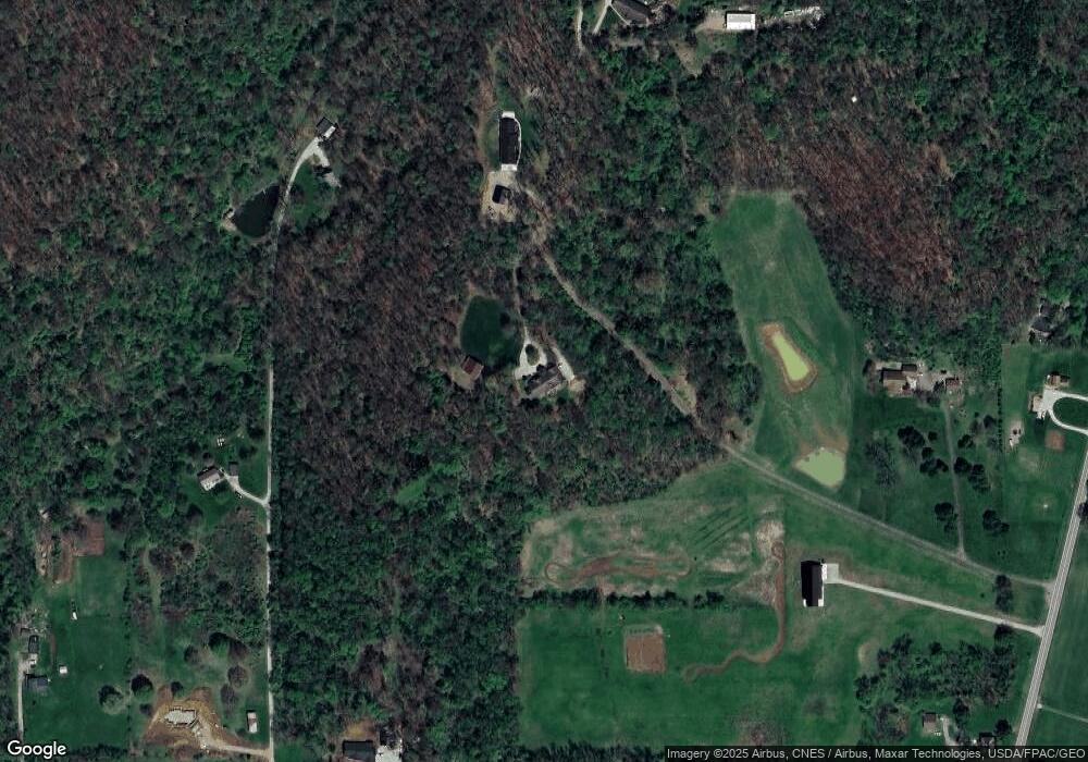
Map
Nearby Homes
- 1406 Pearl Dr
- 723 Pearl Dr
- 2818 Township Road 2812
- 500 Stone Meadow Cir
- 524 N Union St
- 333 E Campbell St
- 316 E Campbell St
- 518 Snyder Dr
- 513 N Mount Vernon Ave
- 526 E Campbell St
- 3183 County Road 3175
- 0 County Road 917
- 6620 Township Road 451
- 609 Ohio 95
- 136 Bridge St
- 560 Township Road 2402
- 6913 County Road 22
- 14602 Township Road 469
- 78 Forest Hill Rd
- 14355 Township Road 467
- 2850 State Route 60 Unit A
- 2850 State Route 60
- 2840 Ohio 60
- 2840 State Route 60
- 2836 State Route 60
- 2850 State Route 60
- 2850 Ohio 60
- 2850 State Route 60
- 0 St Rt 60 S
- 1351 Pearl Dr
- 1351 Pearl Dr
- 826 N Union St
- 113 W Burwell Ave
- 107 W Burwell Ave
- 906 N Union St
- 119 W Burwell Ave
- 115 W Burwell Ave
- 840 N Union St
- 2860 State Route 60
- 2858 State Route 60