2851 Wildy Rd Minooka, IL 60447
North Minooka NeighborhoodEstimated Value: $300,000 - $748,659
3
Beds
2
Baths
2,058
Sq Ft
$237/Sq Ft
Est. Value
About This Home
This home is located at 2851 Wildy Rd, Minooka, IL 60447 and is currently estimated at $488,553, approximately $237 per square foot. 2851 Wildy Rd is a home located in Kendall County with nearby schools including Jones Elementary School, Minooka Intermediate School, and Minooka Junior High School.
Ownership History
Date
Name
Owned For
Owner Type
Purchase Details
Closed on
Sep 4, 2007
Sold by
Homerding Jean A
Bought by
The Jean A Homerding Declaration Of Tr
Current Estimated Value
Purchase Details
Closed on
Jun 2, 1997
Sold by
Homerding Jean Anne and Homerding Jean Anne Wildey
Bought by
Homerding Jean A
Create a Home Valuation Report for This Property
The Home Valuation Report is an in-depth analysis detailing your home's value as well as a comparison with similar homes in the area
Home Values in the Area
Average Home Value in this Area
Purchase History
| Date | Buyer | Sale Price | Title Company |
|---|---|---|---|
| The Jean A Homerding Declaration Of Tr | -- | None Available | |
| Homerding Jean A | -- | -- |
Source: Public Records
Tax History
| Year | Tax Paid | Tax Assessment Tax Assessment Total Assessment is a certain percentage of the fair market value that is determined by local assessors to be the total taxable value of land and additions on the property. | Land | Improvement |
|---|---|---|---|---|
| 2024 | $9,812 | $136,800 | $48,310 | $88,490 |
| 2023 | $8,816 | $124,203 | $44,337 | $79,866 |
| 2022 | $8,816 | $121,363 | $41,497 | $79,866 |
| 2021 | $8,393 | $113,440 | $38,897 | $74,543 |
| 2020 | $8,009 | $106,152 | $35,558 | $70,594 |
| 2019 | $7,795 | $101,116 | $32,720 | $68,396 |
| 2018 | $6,916 | $96,114 | $30,770 | $65,344 |
| 2017 | $6,930 | $96,637 | $34,756 | $61,881 |
| 2016 | $6,835 | $86,710 | $32,890 | $53,820 |
| 2015 | $6,751 | $85,260 | $31,440 | $53,820 |
| 2014 | -- | $66,375 | $17,104 | $49,271 |
| 2013 | -- | $65,465 | $16,194 | $49,271 |
Source: Public Records
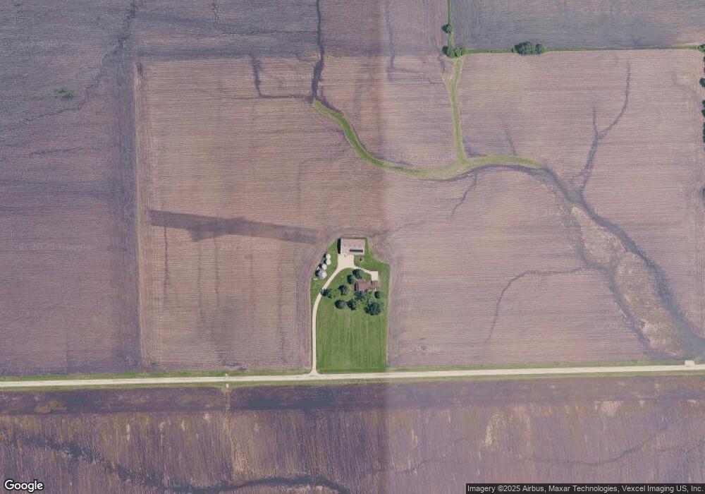
Map
Nearby Homes
- 2050 Isabella Ln
- 194 acres W Holt Rd
- 2041 Isabella Ln
- Lot 1 Minooka Ridge & Jones Rd
- 1133 Coneflower Ct
- 2200 Holt Rd
- 837 Briarcliff Dr
- 1302 Kettleson Dr
- 6010-6060 E Minooka Rd
- 2804 Ninovan Ln
- 2817 Ninovan Ln
- 2812 Ninovan Ln
- 2813 Ninovan Ln
- 2037 Isabella Ln
- 2823 Ninovan Ln
- 2811 Ninovan Ln
- LOT 1 Bob Blair Rd
- 405 W Mondamin St
- 201 W Church St
- 706 O Toole Dr
- 2033 Isabella
- Lot #34 Frontier Ln
- 0000 Nwc Us Route 6 & Waters Edge Dr
- Unincorporated Ridge & Jones Rd
- VL S Ingolsby Rd
- 5490 E Minooka Rd
- 0 Ridge Rd Unit MRD06686993
- LOT 6 Bob Blair Rd Rd
- LT 170 Hunter
- 59 Casey Dr
- LT 153 Hunter
- 4350 Van Dyke Rd
- 16610 Hanson Rd
- 2511 Wildy Rd
- 16060 Hanson Rd
- 16765 Hanson Rd
- 16880 Hanson Rd
- 2247 Wildy Rd
- 2210 Wildy Rd
- Lot 1 Railway Ct