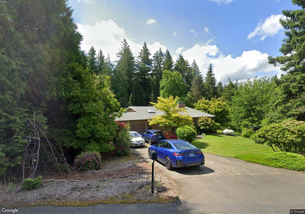
28512 SE Wk Anderson Rd Gresham, OR 97080
Sandy River NeighborhoodEstimated Value: $548,000 - $759,000
5
Beds
2
Baths
1,512
Sq Ft
$417/Sq Ft
Est. Value
About This Home
This home is located at 28512 SE Wk Anderson Rd, Gresham, OR 97080 and is currently estimated at $629,908, approximately $416 per square foot. 28512 SE Wk Anderson Rd is a home located in Multnomah County with nearby schools including Powell Valley Elementary School, Gordon Russell Middle School, and Sam Barlow High School.
Ownership History
Date
Name
Owned For
Owner Type
Purchase Details
Closed on
Aug 31, 2020
Sold by
Kent Thomas C
Bought by
Dalton Peter A and Bsch Sara R
Current Estimated Value
Home Financials for this Owner
Home Financials are based on the most recent Mortgage that was taken out on this home.
Original Mortgage
$446,500
Outstanding Balance
$395,338
Interest Rate
2.9%
Mortgage Type
New Conventional
Estimated Equity
$234,570
Purchase Details
Closed on
Nov 4, 2014
Sold by
Kent Thomas M
Bought by
Kent Thomas M and Thomas M Kent Revocable Living Trust
Create a Home Valuation Report for This Property
The Home Valuation Report is an in-depth analysis detailing your home's value as well as a comparison with similar homes in the area
Home Values in the Area
Average Home Value in this Area
Purchase History
| Date | Buyer | Sale Price | Title Company |
|---|---|---|---|
| Dalton Peter A | $470,000 | Ticor Title Company Of Or | |
| Kent Thomas M | -- | None Available |
Source: Public Records
Mortgage History
| Date | Status | Borrower | Loan Amount |
|---|---|---|---|
| Open | Dalton Peter A | $446,500 |
Source: Public Records
Tax History
| Year | Tax Paid | Tax Assessment Tax Assessment Total Assessment is a certain percentage of the fair market value that is determined by local assessors to be the total taxable value of land and additions on the property. | Land | Improvement |
|---|---|---|---|---|
| 2025 | $7,225 | $380,160 | -- | -- |
| 2024 | $6,907 | $369,090 | -- | -- |
| 2023 | $6,756 | $358,340 | $0 | $0 |
| 2022 | $6,584 | $347,910 | $0 | $0 |
| 2021 | $6,406 | $337,780 | $0 | $0 |
| 2020 | $6,029 | $327,950 | $0 | $0 |
| 2019 | $5,876 | $318,400 | $0 | $0 |
| 2018 | $5,602 | $309,130 | $0 | $0 |
| 2017 | $5,383 | $300,130 | $0 | $0 |
| 2016 | $4,748 | $291,390 | $0 | $0 |
Source: Public Records
Map
Nearby Homes
- 6247 SE 15th St
- 1490 SE Pheasant Ave
- 6192 SE 15th St
- 5856 SE Woodland Dr
- 6195 SE 16th St
- 6187 SE 16th St
- 6171 SE 16th St
- 6115 SE 16th St
- 6109 SE 16th St
- 6103 SE 16th St
- 6118 SE 16th St
- 6112 SE 16th St
- 6106 SE 16th St
- 5827 SE 16th Loop
- 6490 SE 21st St
- 6421 SE 22nd St
- 6443 SE 22nd St
- 4724 SE Powell Valley Rd
- 2404 SE Jasmine Way
- 295 SE Baker Ave
- 0 SE Kw Anderson Rd
- 28450 SE K W Anderson Rd
- 28467 SE Wk Anderson Rd
- 28660 SE Wk Anderson Rd
- 28415 SE K W Anderson Rd
- 28349 SE Kw Anderson Rd
- 28349 SE Wk Anderson Rd
- 28415 SE Wk Anderson Rd
- 28349 SE K W Anderson Rd
- 4500 SE 282nd Ave
- 28655 SE Wk Anderson Rd
- 28708 SE Wk Anderson Rd
- 4410 SE 282nd Ave
- 28745 SE Kw Anderson Rd
- 28745 SE Wk Anderson Rd
- 4510 SE 282nd Ave
- 4524 SE 282nd Ave
- 1134 SE 282nd Ave
- 28800 SE K W Anderson Rd
- 0 SE 282nd Ave
Your Personal Tour Guide
Ask me questions while you tour the home.