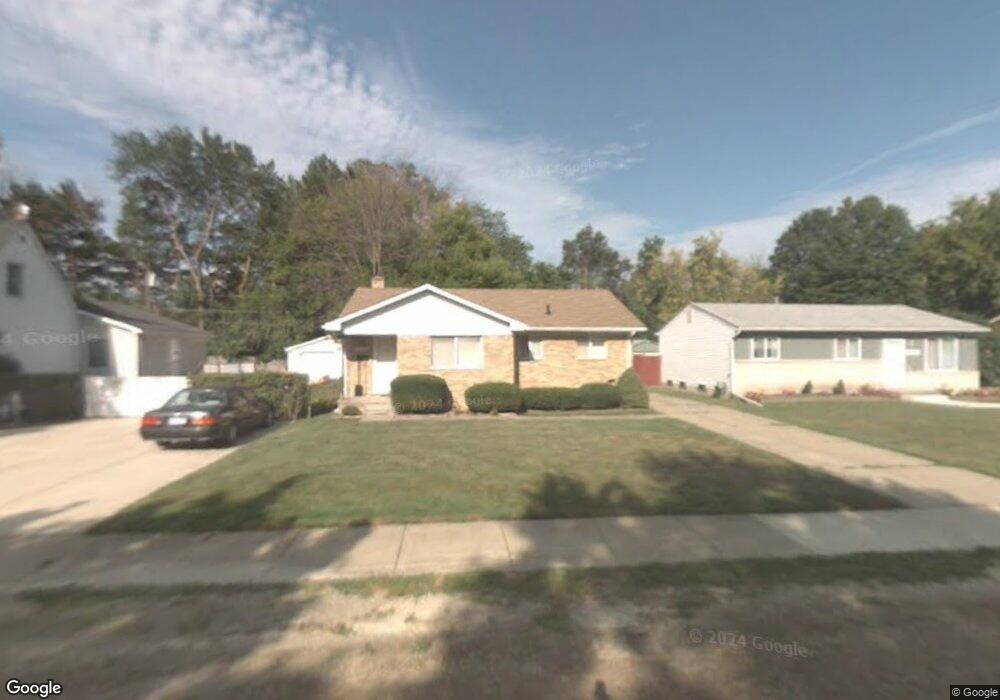
28555 Wexford Dr Unit Bldg-Unit Warren, MI 48092
Northwest Warren NeighborhoodEstimated Value: $217,000 - $252,000
3
Beds
1
Bath
982
Sq Ft
$238/Sq Ft
Est. Value
About This Home
This home is located at 28555 Wexford Dr Unit Bldg-Unit, Warren, MI 48092 and is currently estimated at $233,862, approximately $238 per square foot. 28555 Wexford Dr Unit Bldg-Unit is a home located in Macomb County with nearby schools including Lean Elementary School, Beer Middle School, and Warren Mott High School.
Ownership History
Date
Name
Owned For
Owner Type
Purchase Details
Closed on
Mar 16, 2018
Sold by
Kbk Investments Llc
Bought by
Knight David P
Current Estimated Value
Purchase Details
Closed on
Jun 27, 2017
Sold by
Fannie Mae
Bought by
Kbk Investments Llc
Purchase Details
Closed on
Sep 2, 2016
Sold by
Roveto Mary L
Bought by
Fannie Mae and Federal National Mortgage Association
Create a Home Valuation Report for This Property
The Home Valuation Report is an in-depth analysis detailing your home's value as well as a comparison with similar homes in the area
Home Values in the Area
Average Home Value in this Area
Purchase History
| Date | Buyer | Sale Price | Title Company |
|---|---|---|---|
| Knight David P | $137,000 | Visionary Title Agency Llc | |
| Kbk Investments Llc | $79,000 | None Available | |
| Fannie Mae | $100,000 | None Available |
Source: Public Records
Tax History Compared to Growth
Tax History
| Year | Tax Paid | Tax Assessment Tax Assessment Total Assessment is a certain percentage of the fair market value that is determined by local assessors to be the total taxable value of land and additions on the property. | Land | Improvement |
|---|---|---|---|---|
| 2025 | $4,177 | $104,610 | $0 | $0 |
| 2024 | $4,058 | $93,460 | $0 | $0 |
| 2023 | $3,847 | $85,990 | $0 | $0 |
| 2022 | $3,717 | $76,620 | $0 | $0 |
| 2021 | $3,782 | $73,740 | $0 | $0 |
| 2020 | $3,647 | $70,840 | $0 | $0 |
| 2019 | $3,516 | $66,120 | $0 | $0 |
| 2018 | $0 | $41,970 | $0 | $0 |
| 2017 | $1,922 | $36,340 | $10,850 | $25,490 |
| 2016 | $1,869 | $36,340 | $0 | $0 |
| 2015 | -- | $33,710 | $0 | $0 |
| 2012 | -- | $28,620 | $0 | $0 |
Source: Public Records
Map
Nearby Homes
- 28570 Norwood Ave
- 28530 Ryan Rd
- 28130 Liberty Dr
- 28314 James Dr
- 3454 Winterfield Dr
- 29269 Ryan Rd
- 29265 van Laan Dr
- 4480 Bayberry Ct
- 29202 W Nottingham Cir
- 29119 Orvylle Dr
- 28160 Universal Dr Unit J125
- 28230 Universal Dr Unit F69
- 28264 Universal Dr Unit 82
- 27365 Ryan Rd
- 27575 Strathmoor Dr
- 29512 Orvylle Dr
- 28000 Universal Dr Unit 1
- 28012 Universal Dr
- 3922 Dwight Dr
- 28556 Milton Ave
- 28555 Wexford Dr
- 28551 Wexford Dr
- 28559 Wexford Dr
- 28561 Wexford Dr
- 28511 Wexford Dr
- 3515 Parent Ave Unit Bldg-Unit
- 3515 Parent Ave
- 28509 Wexford Dr
- 28581 Wexford Dr
- 28556 Wexford Dr
- 28507 Wexford Dr
- 28550 Wexford Dr
- 3511 Parent Ave
- 28560 Wexford Dr
- 28512 Wexford Dr
- 28570 Wexford Dr
- 28536 Wexford Dr
- 28597 Wexford Dr
- 28506 Wexford Dr
- 28580 Wexford Dr