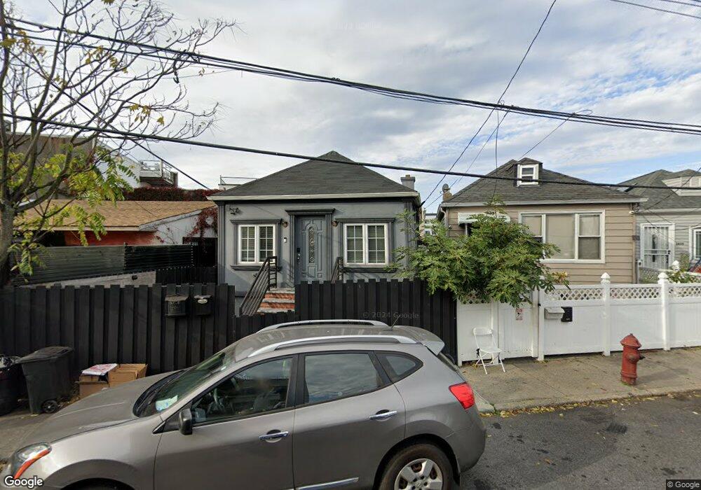
2856 Haring St Brooklyn, NY 11235
Sheepshead Bay NeighborhoodEstimated Value: $506,286 - $584,000
Studio
--
Bath
654
Sq Ft
$831/Sq Ft
Est. Value
About This Home
This home is located at 2856 Haring St, Brooklyn, NY 11235 and is currently estimated at $543,322, approximately $830 per square foot. 2856 Haring St is a home located in Kings County with nearby schools including P.S. 52 Sheepshead Bay, Jhs 14 Shell Bank, and YESHIVAT MEKOR HAIM.
Ownership History
Date
Name
Owned For
Owner Type
Purchase Details
Closed on
Apr 10, 2019
Sold by
Dunn As Distributee Alfred and Dunn As Distributee Christian
Bought by
Ledlum Cheryl
Current Estimated Value
Purchase Details
Closed on
Nov 20, 1995
Sold by
Troy John
Bought by
Dunn Robert and Dunn Maureen
Home Financials for this Owner
Home Financials are based on the most recent Mortgage that was taken out on this home.
Original Mortgage
$75,000
Interest Rate
9%
Mortgage Type
Seller Take Back
Create a Home Valuation Report for This Property
The Home Valuation Report is an in-depth analysis detailing your home's value as well as a comparison with similar homes in the area
Home Values in the Area
Average Home Value in this Area
Purchase History
| Date | Buyer | Sale Price | Title Company |
|---|---|---|---|
| Ledlum Cheryl | $205,000 | -- | |
| Dunn Robert | $100,000 | -- |
Source: Public Records
Mortgage History
| Date | Status | Borrower | Loan Amount |
|---|---|---|---|
| Previous Owner | Dunn Robert | $75,000 |
Source: Public Records
Tax History
| Year | Tax Paid | Tax Assessment Tax Assessment Total Assessment is a certain percentage of the fair market value that is determined by local assessors to be the total taxable value of land and additions on the property. | Land | Improvement |
|---|---|---|---|---|
| 2025 | $3,626 | $33,300 | $5,820 | $27,480 |
| 2024 | $3,626 | $34,440 | $5,820 | $28,620 |
| 2023 | $3,492 | $42,240 | $5,820 | $36,420 |
| 2022 | $3,433 | $46,260 | $5,820 | $40,440 |
| 2021 | $3,551 | $35,700 | $5,820 | $29,880 |
| 2019 | $3,147 | $23,760 | $5,820 | $17,940 |
| 2018 | $2,921 | $14,330 | $3,915 | $10,415 |
| 2017 | $2,921 | $14,330 | $3,667 | $10,663 |
| 2016 | $2,811 | $14,061 | $4,819 | $9,242 |
| 2015 | $1,631 | $13,285 | $4,930 | $8,355 |
| 2014 | $1,631 | $12,538 | $4,653 | $7,885 |
Source: Public Records
Map
Nearby Homes
- 2832 Brown St
- 32 Lincoln Terrace
- 2811 Haring St
- 14A Mesereau Ct
- 4051 Nostrand Ave Unit 3
- 4078 Nostrand Ave Unit 1B
- 4050 Nostrand Ave Unit 1D
- 2803 Batchelder St Unit 1A
- 3107 Emmons Ave Unit C2
- 3105 Emmons Ave Unit 1C
- 3105 Emmons Ave Unit 1A
- 3112 Emmons Ave Unit 3132-1
- 3112 Emmons Ave Unit 307
- 3112 Emmons Ave Unit 305
- 3112 Emmons Ave Unit 3124A2
- 3112 Emmons Ave Unit 3136A2
- 3112 Emmons Ave Unit 106
- 2747 Haring St
- 3116 Emmons Ave Unit 4
- 2900 E 29th St Unit 2E
Your Personal Tour Guide
Ask me questions while you tour the home.