2856 Marrcrest E Provo, UT 84604
Riverside NeighborhoodEstimated Value: $437,836 - $456,000
2
Beds
2
Baths
1,411
Sq Ft
$315/Sq Ft
Est. Value
About This Home
This home is located at 2856 Marrcrest E, Provo, UT 84604 and is currently estimated at $444,945, approximately $315 per square foot. 2856 Marrcrest E is a home located in Utah County with nearby schools including Canyon Crest Elementary School, Centennial Middle School, and Timpview High School.
Ownership History
Date
Name
Owned For
Owner Type
Purchase Details
Closed on
Aug 5, 2020
Sold by
Childs Kameron Sean and Morrell Michael Ralph
Bought by
Orehoski Robert and Orehoski Catherine
Current Estimated Value
Home Financials for this Owner
Home Financials are based on the most recent Mortgage that was taken out on this home.
Original Mortgage
$214,400
Outstanding Balance
$190,539
Interest Rate
3.1%
Mortgage Type
New Conventional
Estimated Equity
$254,406
Purchase Details
Closed on
Jan 19, 2006
Sold by
Davis J Warren and Davis Barbara Jean
Bought by
Tucker Larue R
Home Financials for this Owner
Home Financials are based on the most recent Mortgage that was taken out on this home.
Original Mortgage
$127,920
Interest Rate
6.32%
Mortgage Type
Fannie Mae Freddie Mac
Create a Home Valuation Report for This Property
The Home Valuation Report is an in-depth analysis detailing your home's value as well as a comparison with similar homes in the area
Home Values in the Area
Average Home Value in this Area
Purchase History
| Date | Buyer | Sale Price | Title Company |
|---|---|---|---|
| Orehoski Robert | -- | Title Guarantee | |
| Tucker Larue R | -- | Security Title & Abstract |
Source: Public Records
Mortgage History
| Date | Status | Borrower | Loan Amount |
|---|---|---|---|
| Open | Orehoski Robert | $214,400 | |
| Previous Owner | Tucker Larue R | $127,920 |
Source: Public Records
Tax History
| Year | Tax Paid | Tax Assessment Tax Assessment Total Assessment is a certain percentage of the fair market value that is determined by local assessors to be the total taxable value of land and additions on the property. | Land | Improvement |
|---|---|---|---|---|
| 2025 | $2,416 | $234,080 | -- | -- |
| 2024 | $2,416 | $237,820 | $0 | $0 |
| 2023 | $2,233 | $216,645 | $0 | $0 |
| 2022 | $1,884 | $184,305 | $0 | $0 |
| 2021 | $1,499 | $255,800 | $102,700 | $153,100 |
| 2020 | $1,495 | $239,100 | $102,700 | $136,400 |
| 2019 | $1,413 | $235,100 | $102,700 | $132,400 |
| 2018 | $1,393 | $235,100 | $102,700 | $132,400 |
| 2017 | $1,320 | $122,430 | $0 | $0 |
| 2016 | $1,302 | $112,530 | $0 | $0 |
| 2015 | $1,247 | $108,900 | $0 | $0 |
| 2014 | $1,075 | $97,900 | $0 | $0 |
Source: Public Records
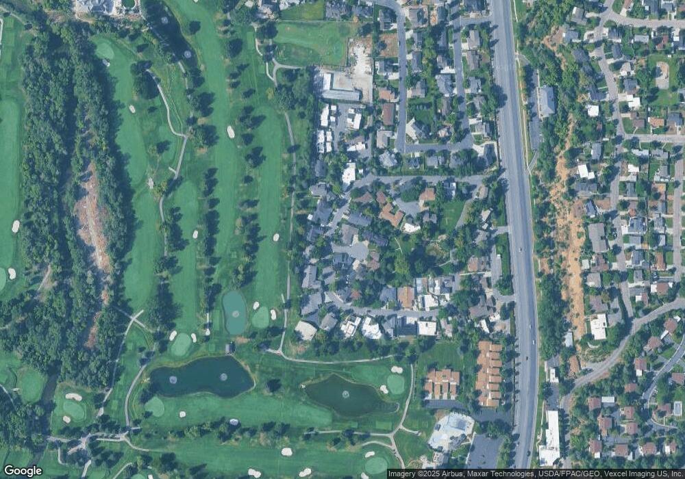
Map
Nearby Homes
- 2939 N Marrcrest Dr W
- 2999 N Marrcrest West Dr
- 3013 N 100 W
- 3057 N 100 W
- 2735 N Country Club Dr
- 3240 Shadowbrook Dr
- 3025 N 250 E
- 111 Candlewood Place
- 3305 N Shadowbrook Cir
- 2774 N 370 E
- 158 Woodside Dr
- 1360 S Carterville Rd
- 223 W 2230 N Unit 14
- 241 W 2230 N Unit 16
- 240 E 2230 N Unit 7
- 5600 N Canyon Rd
- 2254 N 390 E
- 431 W 2310 N
- 186 E 2100 N
- 758 E 3030 N
- 2856 Marrcrest W
- 2858 Marrcrest W
- 2868 Marrcrest W
- 2852 Marrcrest W
- 2853 Marrcrest W
- 2869 Marrcrest W
- 2842 Marrcrest W
- 2852 Marrcrest W
- 25 W Marrcrest Cir W
- 2840 Marrcrest W
- 2839 Marrcrest W
- 2846 Marrcrest W
- 2836 Marrcrest North Cir
- 2871 Marrcrest W
- 2800 Marrcrest W
- 2888 N Marrcrest W
- 2885 Marrcrest North Cir
- 2883 Marrcrest W
- 2830 Marrcrest W
- 2831 Marrcrest W
Your Personal Tour Guide
Ask me questions while you tour the home.