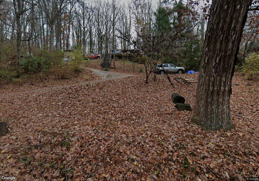
2856 Rifle Range Rd Knoxville, TN 37918
Uptown Knoxville NeighborhoodEstimated Value: $122,000 - $212,000
3
Beds
1
Bath
912
Sq Ft
$188/Sq Ft
Est. Value
About This Home
This home is located at 2856 Rifle Range Rd, Knoxville, TN 37918 and is currently estimated at $171,502, approximately $188 per square foot. 2856 Rifle Range Rd is a home located in Knox County with nearby schools including Adrian Burnett Elementary School, Halls High School, and Halls Middle School.
Ownership History
Date
Name
Owned For
Owner Type
Purchase Details
Closed on
Jul 28, 2006
Sold by
Williams Dennis R
Bought by
Brickhouse Joseph and Brickhouse Elizabeth E
Current Estimated Value
Home Financials for this Owner
Home Financials are based on the most recent Mortgage that was taken out on this home.
Original Mortgage
$60,000
Outstanding Balance
$35,492
Interest Rate
6.68%
Mortgage Type
Purchase Money Mortgage
Estimated Equity
$136,010
Purchase Details
Closed on
Jun 9, 2005
Sold by
Stafford Charles Leroy and Stafford Geraldine
Bought by
Williams Dennis R
Home Financials for this Owner
Home Financials are based on the most recent Mortgage that was taken out on this home.
Original Mortgage
$34,200
Interest Rate
5.69%
Mortgage Type
Fannie Mae Freddie Mac
Purchase Details
Closed on
Dec 4, 1997
Sold by
James Fortner Horace and Jane Reba
Bought by
Stafford Charles Leroy and Stafford Geraldine
Create a Home Valuation Report for This Property
The Home Valuation Report is an in-depth analysis detailing your home's value as well as a comparison with similar homes in the area
Home Values in the Area
Average Home Value in this Area
Purchase History
| Date | Buyer | Sale Price | Title Company |
|---|---|---|---|
| Brickhouse Joseph | $60,000 | None Available | |
| Williams Dennis R | $38,000 | Title Assoc Of Knoxville | |
| Stafford Charles Leroy | $27,500 | -- |
Source: Public Records
Mortgage History
| Date | Status | Borrower | Loan Amount |
|---|---|---|---|
| Open | Brickhouse Joseph | $60,000 | |
| Previous Owner | Williams Dennis R | $34,200 |
Source: Public Records
Tax History Compared to Growth
Tax History
| Year | Tax Paid | Tax Assessment Tax Assessment Total Assessment is a certain percentage of the fair market value that is determined by local assessors to be the total taxable value of land and additions on the property. | Land | Improvement |
|---|---|---|---|---|
| 2025 | $361 | $23,225 | $0 | $0 |
| 2024 | $361 | $23,225 | $0 | $0 |
| 2023 | $361 | $23,225 | $0 | $0 |
| 2022 | $361 | $23,225 | $0 | $0 |
| 2021 | $345 | $16,275 | $0 | $0 |
| 2020 | $345 | $16,275 | $0 | $0 |
| 2019 | $345 | $16,275 | $0 | $0 |
| 2018 | $345 | $16,275 | $0 | $0 |
| 2017 | $345 | $16,275 | $0 | $0 |
| 2016 | $362 | $0 | $0 | $0 |
| 2015 | $362 | $0 | $0 | $0 |
| 2014 | $362 | $0 | $0 | $0 |
Source: Public Records
Map
Nearby Homes
- 2839 Rifle Range Dr
- 2833 Ithaca Dr
- 5913 Ridgewood Rd
- 6524 E Garwood Cir
- 5828 Eldridge Rd
- 6553 E Garwood Cir
- 2705 Rifle Range Dr
- 2928 Mynatt Rd
- 5616 N Broadway St
- 826 Gresham Rd
- 3415 Harvey Rd
- 0 Grove Dr
- 5608 Lon Roberts Dr
- 6609 Cochise Dr
- 3205 Quiet Way Unit 11
- 3201 Quiet Way Unit 10
- 5511 Colonial Cir
- 113 Templeton #7 Rd
- 3521 Rothmoor Dr
- 5511 Jacksboro Pike
- 2852 Rifle Range Rd
- 2852 Rifle Range Dr
- 6400 Luger Rd
- 2848 Rifle Range Rd
- 2906 Rifle Range Rd
- 2906 Rifle Range Dr
- 3213 Curtis Ln
- 2900 Carbine Ln
- 2844 Rifle Range Dr
- 6404 Luger Rd
- 6401 Luger Rd
- 2904 Carbine Ln
- 3203 Curtis Ln
- 2901 Carbine Ln
- 3221 Curtis Ln
- 6406 Luger Rd
- 2908 Carbine Ln
- 3133 Curtis Ln
- 2832 Ithaca Dr
- 2905 Carbine Ln