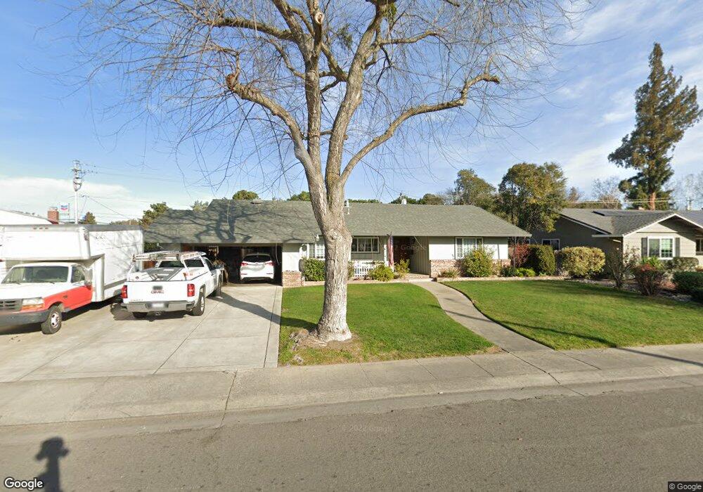
2857 Sheridan Way Stockton, CA 95207
Lincoln Village NeighborhoodEstimated Value: $479,000 - $548,000
3
Beds
2
Baths
1,735
Sq Ft
$295/Sq Ft
Est. Value
About This Home
This home is located at 2857 Sheridan Way, Stockton, CA 95207 and is currently estimated at $512,162, approximately $295 per square foot. 2857 Sheridan Way is a home located in San Joaquin County with nearby schools including Tully C. Knoles School, Sierra Middle School, and Lincoln High School.
Ownership History
Date
Name
Owned For
Owner Type
Purchase Details
Closed on
Feb 24, 2020
Sold by
Kaiser Dennis G and Kaiser Gail A
Bought by
Kaiser Dennis G and Kaiser Gail A
Current Estimated Value
Home Financials for this Owner
Home Financials are based on the most recent Mortgage that was taken out on this home.
Original Mortgage
$340,000
Interest Rate
3.6%
Mortgage Type
New Conventional
Create a Home Valuation Report for This Property
The Home Valuation Report is an in-depth analysis detailing your home's value as well as a comparison with similar homes in the area
Home Values in the Area
Average Home Value in this Area
Purchase History
| Date | Buyer | Sale Price | Title Company |
|---|---|---|---|
| Kaiser Dennis G | -- | Chicago Title Company |
Source: Public Records
Mortgage History
| Date | Status | Borrower | Loan Amount |
|---|---|---|---|
| Closed | Kaiser Dennis G | $340,000 |
Source: Public Records
Tax History Compared to Growth
Tax History
| Year | Tax Paid | Tax Assessment Tax Assessment Total Assessment is a certain percentage of the fair market value that is determined by local assessors to be the total taxable value of land and additions on the property. | Land | Improvement |
|---|---|---|---|---|
| 2025 | $4,393 | $196,774 | $62,138 | $134,636 |
| 2024 | $4,253 | $192,917 | $60,920 | $131,997 |
| 2023 | $4,152 | $189,135 | $59,726 | $129,409 |
| 2022 | $3,805 | $185,427 | $58,555 | $126,872 |
| 2021 | $3,735 | $181,792 | $57,407 | $124,385 |
| 2020 | $3,700 | $179,929 | $56,819 | $123,110 |
| 2019 | $3,666 | $176,402 | $55,705 | $120,697 |
| 2018 | $3,583 | $172,944 | $54,613 | $118,331 |
| 2017 | $3,649 | $169,554 | $53,543 | $116,011 |
| 2016 | $3,249 | $166,230 | $52,494 | $113,736 |
| 2014 | $3,429 | $160,527 | $50,693 | $109,834 |
Source: Public Records
Map
Nearby Homes
- 2921 Rutledge Ct
- 6415 Plymouth Rd
- 2935 Prentiss Ct Unit 1844
- 2914 Prentiss Ct
- 2922 Prentiss Ct
- 6406 Grigsby Place
- 3115 Polk Way
- 6724 Plymouth Rd Unit 90
- 6724 Plymouth Rd Unit 54
- 3102 W Swain Rd
- 2447 Calhoun Way
- 6078 Carolina Cir
- 3216 Polk Way
- 2252 W Benjamin Holt Dr
- 5833 Morgan Place Unit 60
- 5815 Morgan Place Unit 18
- 5734 Turtle Valley Dr
- 3533 Harpers Ferry Dr
- 6123 Cumberland Place
- 2039 W Benjamin Holt Dr
- 2845 Sheridan Way
- 6622 Plymouth Rd
- 2872 W Benjamin Holt Dr
- 2858 W Benjamin Holt Dr
- 2831 Sheridan Way Unit 28
- 2884 W Benjamin Holt Dr
- 2860 Sheridan Way
- 2844 W Benjamin Holt Dr Unit 33
- 6542 Plymouth Rd
- 2844 Sheridan Way Unit 28
- 6621 Plymouth Rd
- 6635 Plymouth Rd
- 2817 Sheridan Way
- 6619 Plymouth Rd
- 2832 Sheridan Way
- 2832 W Benjamin Holt Dr
- 6607 Plymouth Rd
- 6541 Plymouth Rd
- 6617 Plymouth Rd
- 6631 Plymouth Rd