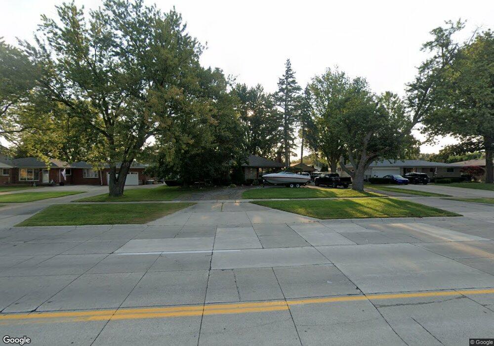
28570 Little MacK Ave Saint Clair Shores, MI 48081
Estimated Value: $229,389 - $252,000
2
Beds
1
Bath
1,077
Sq Ft
$227/Sq Ft
Est. Value
About This Home
This home is located at 28570 Little MacK Ave, Saint Clair Shores, MI 48081 and is currently estimated at $244,097, approximately $226 per square foot. 28570 Little MacK Ave is a home located in Macomb County with nearby schools including Rodgers Elementary School, Kennedy Middle School, and Lake Shore High School.
Ownership History
Date
Name
Owned For
Owner Type
Purchase Details
Closed on
Sep 15, 2006
Sold by
Katsias George A and Katsias Irene
Bought by
Machasic Derek Raymond and Machasic Stacey Lynn
Current Estimated Value
Purchase Details
Closed on
Aug 30, 1999
Sold by
Mouhot Cheryl B
Bought by
Katsias George A
Home Financials for this Owner
Home Financials are based on the most recent Mortgage that was taken out on this home.
Original Mortgage
$51,000
Interest Rate
7.83%
Create a Home Valuation Report for This Property
The Home Valuation Report is an in-depth analysis detailing your home's value as well as a comparison with similar homes in the area
Home Values in the Area
Average Home Value in this Area
Purchase History
| Date | Buyer | Sale Price | Title Company |
|---|---|---|---|
| Machasic Derek Raymond | $140,000 | First American Title Ins Co | |
| Katsias George A | $121,000 | -- |
Source: Public Records
Mortgage History
| Date | Status | Borrower | Loan Amount |
|---|---|---|---|
| Previous Owner | Katsias George A | $51,000 |
Source: Public Records
Tax History Compared to Growth
Tax History
| Year | Tax Paid | Tax Assessment Tax Assessment Total Assessment is a certain percentage of the fair market value that is determined by local assessors to be the total taxable value of land and additions on the property. | Land | Improvement |
|---|---|---|---|---|
| 2025 | $2,481 | $110,100 | $0 | $0 |
| 2024 | $2,481 | $95,700 | $0 | $0 |
| 2023 | $2,307 | $85,000 | $0 | $0 |
| 2022 | $2,765 | $74,800 | $0 | $0 |
| 2021 | $2,147 | $70,300 | $0 | $0 |
| 2020 | $2,156 | $65,000 | $0 | $0 |
| 2019 | $2,048 | $63,500 | $0 | $0 |
| 2018 | $1,940 | $54,100 | $0 | $0 |
| 2017 | $1,940 | $50,900 | $11,500 | $39,400 |
| 2016 | $1,801 | $50,900 | $0 | $0 |
| 2015 | $1,755 | $43,800 | $0 | $0 |
| 2012 | -- | $40,700 | $13,700 | $27,000 |
Source: Public Records
Map
Nearby Homes
- 28710 Little MacK Ave
- 20918 Michael Ct
- 28930 Little MacK Ave
- 20924 Saint Gertrude St
- 28824 Boston St
- 28413 Ruehle St
- 28316 Little MacK Ave
- 28113 Shock St
- 29243 Boston St
- 28131 Elmdale St
- 405 Pineview Ct Unit 9
- 28813 Beste St
- 21136 E 12 Mile Rd
- 28907 Beste St
- 20101 Meier Rd
- 28906 Hughes St
- 28004 Joan St
- 28107 Ursuline St
- 19791 Martin Rd Unit 11
- 29254 Harding St
- 28700 Little MacK Ave
- 28560 Little MacK Ave
- 28547 Kimberly Ln
- 28601 Kimberly Ln
- 28543 Kimberly Ln
- 28550 Little MacK Ave
- 28605 Kimberly Ln
- 28537 Kimberly Ln
- 28540 Little MacK Ave
- 28531 Kimberly Ln
- 28611 Kimberly Ln
- 28567 Little MacK Ave
- 28601 Little MacK Ave
- 28559 Little MacK Ave
- 28609 Little MacK Ave
- 28740 Little MacK Ave
- 28542 Kimberly Ln
- 28600 Kimberly Ln
- 28525 Kimberly Ln
- 28530 Little MacK Ave