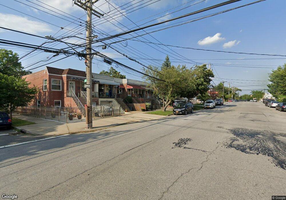
2859 Sampson Ave Bronx, NY 10465
Throgs Neck-Edgewater Park NeighborhoodEstimated Value: $594,442 - $735,000
Studio
--
Bath
1,596
Sq Ft
$428/Sq Ft
Est. Value
About This Home
This home is located at 2859 Sampson Ave, Bronx, NY 10465 and is currently estimated at $683,361, approximately $428 per square foot. 2859 Sampson Ave is a home located in Bronx County with nearby schools including P.S. 72 - Dr. William Dorney, Herbert H Lehman High School, and St. Frances de Chantal School.
Ownership History
Date
Name
Owned For
Owner Type
Purchase Details
Closed on
Dec 17, 2004
Sold by
Swain Michael
Bought by
Swain Diane and Swain Steven
Current Estimated Value
Home Financials for this Owner
Home Financials are based on the most recent Mortgage that was taken out on this home.
Original Mortgage
$251,000
Interest Rate
5.81%
Mortgage Type
Purchase Money Mortgage
Create a Home Valuation Report for This Property
The Home Valuation Report is an in-depth analysis detailing your home's value as well as a comparison with similar homes in the area
Home Values in the Area
Average Home Value in this Area
Purchase History
| Date | Buyer | Sale Price | Title Company |
|---|---|---|---|
| Swain Diane | -- | -- | |
| Swain Diane | -- | -- |
Source: Public Records
Mortgage History
| Date | Status | Borrower | Loan Amount |
|---|---|---|---|
| Closed | Swain Diane | $251,000 |
Source: Public Records
Tax History
| Year | Tax Paid | Tax Assessment Tax Assessment Total Assessment is a certain percentage of the fair market value that is determined by local assessors to be the total taxable value of land and additions on the property. | Land | Improvement |
|---|---|---|---|---|
| 2025 | $5,924 | $29,722 | $6,959 | $22,763 |
| 2024 | $5,924 | $29,497 | $6,485 | $23,012 |
| 2023 | $5,652 | $27,828 | $7,080 | $20,748 |
| 2022 | $5,241 | $33,120 | $8,640 | $24,480 |
| 2021 | $5,212 | $34,800 | $8,640 | $26,160 |
| 2020 | $5,243 | $33,300 | $8,640 | $24,660 |
| 2019 | $5,142 | $27,840 | $8,640 | $19,200 |
| 2018 | $4,727 | $23,190 | $8,066 | $15,124 |
| 2017 | $4,460 | $21,878 | $7,798 | $14,080 |
| 2016 | $4,126 | $20,640 | $8,640 | $12,000 |
| 2015 | $2,611 | $20,760 | $9,600 | $11,160 |
| 2014 | $2,611 | $20,760 | $9,600 | $11,160 |
Source: Public Records
Map
Nearby Homes
- 416 Revere Ave
- 449 Revere Ave
- 2780 Sampson Ave
- 346 Brinsmade Ave
- 310 Huntington Ave
- 4190 E Tremont Ave
- 541 Edison Ave
- 276 Brinsmade Ave
- 512 Logan Ave
- 249 Calhoun Ave
- 244 Revere Ave
- 541 Logan Ave
- 4216 E Tremont Ave
- 252 Brinsmade Ave
- 2738 Miles Ave
- 238 Swinton Ave
- 227 Calhoun Ave
- 280 Balcom Ave
- 278 Balcom Ave
- 239 Brinsmade Ave
- 2857 Sampson Ave
- 2861 Sampson Ave
- 2855 Sampson Ave
- 2863 Sampson Ave
- 2853 Sampson Ave
- 2865 Sampson Ave
- 410 Calhoun Ave
- 2851 Sampson Ave
- 2867 Sampson Ave
- 409 Revere Ave
- 412 Calhoun Ave
- 411 Revere Ave
- 2869 Sampson Ave
- 414 Calhoun Ave
- 413 Revere Ave
- 416 Calhoun Ave
- 415 Revere Ave
- 418 Calhoun Ave
- 417 Revere Ave
- 420 Calhoun Ave
Your Personal Tour Guide
Ask me questions while you tour the home.