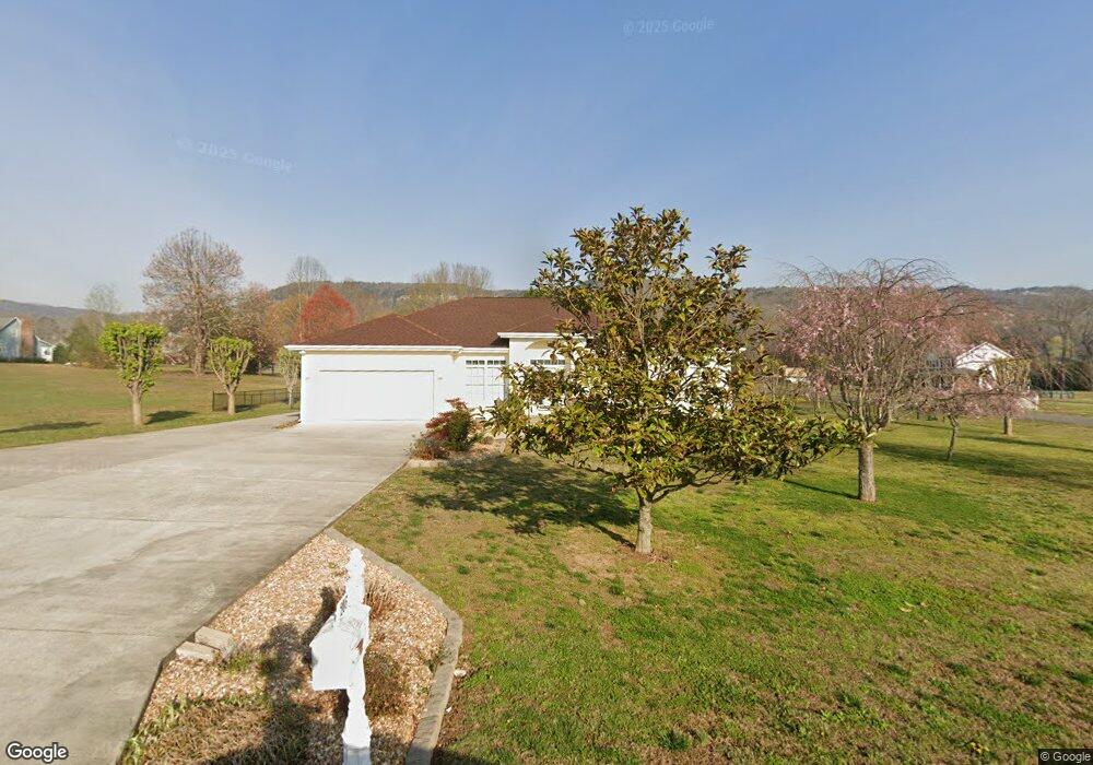
286 Cedar Ln Dunlap, TN 37327
Estimated Value: $303,000 - $375,000
3
Beds
2
Baths
1,836
Sq Ft
$191/Sq Ft
Est. Value
About This Home
This home is located at 286 Cedar Ln, Dunlap, TN 37327 and is currently estimated at $351,026, approximately $191 per square foot. 286 Cedar Ln is a home located in Sequatchie County with nearby schools including Griffith Elementary School, Sequatchie County Middle School, and Sequatchie County High School.
Ownership History
Date
Name
Owned For
Owner Type
Purchase Details
Closed on
Jun 19, 2015
Sold by
Lockhart Angela J
Bought by
Lockhart Larry R and Lockhart Angela J
Current Estimated Value
Purchase Details
Closed on
Jul 19, 2013
Sold by
Bryant Randall E
Bought by
Lockhart Angela J
Purchase Details
Closed on
Feb 9, 2001
Bought by
Bryant Randell E and Wife Billie S
Purchase Details
Closed on
Sep 15, 2000
Bought by
Frizzell Patsy
Create a Home Valuation Report for This Property
The Home Valuation Report is an in-depth analysis detailing your home's value as well as a comparison with similar homes in the area
Home Values in the Area
Average Home Value in this Area
Purchase History
| Date | Buyer | Sale Price | Title Company |
|---|---|---|---|
| Lockhart Larry R | -- | -- | |
| Lockhart Angela J | $105,000 | -- | |
| Bryant Randell E | $14,000 | -- | |
| Frizzell Patsy | $14,000 | -- |
Source: Public Records
Tax History
| Year | Tax Paid | Tax Assessment Tax Assessment Total Assessment is a certain percentage of the fair market value that is determined by local assessors to be the total taxable value of land and additions on the property. | Land | Improvement |
|---|---|---|---|---|
| 2025 | $1,352 | $73,600 | $5,575 | $68,025 |
| 2024 | $1,282 | $69,800 | $5,575 | $64,225 |
| 2023 | $1,282 | $69,800 | $5,575 | $64,225 |
| 2022 | $1,035 | $42,375 | $4,675 | $37,700 |
| 2021 | $1,035 | $42,375 | $4,675 | $37,700 |
| 2020 | $1,035 | $42,375 | $4,675 | $37,700 |
| 2019 | $1,035 | $42,375 | $4,675 | $37,700 |
| 2018 | $1,035 | $42,375 | $4,675 | $37,700 |
| 2017 | $913 | $37,375 | $4,675 | $32,700 |
| 2016 | $952 | $37,075 | $4,150 | $32,925 |
| 2015 | $952 | $37,075 | $4,150 | $32,925 |
| 2014 | -- | $37,075 | $4,150 | $32,925 |
Source: Public Records
Map
Nearby Homes
- 87 Happy Valley Rd
- 1473 Old York Hwy N
- 202 Austin Rd
- 2398 Old York Hwy
- 2426 Old York Hwy
- 2482 Old York Hwy
- 2496 Old York Hwy
- 029003.0 Smith Mountain Rd
- 029003.00 Smith Mountain Rd
- 029 Smith Mountain Rd
- 2900300 Smith Mountain Rd
- 029 003 Smith Mountain Rd
- 0 U S 127 Unit 21317616
- 18298 Rankin Ave
- 563 Old Union Rd
- 496 Boyd Rd
- 48 River Dr
- 50 River Dr
- 116 Maple St
- 1086 River Ridge Dr
- 741 NW Cedar Ln
- 196 Cedar Ln
- 277 Cedar Ln
- 249 Cedar Ln
- 301 Cedar Ln
- 322 Cedar Ln
- 269 Cedar Ln
- 203 Cedar Ln
- 195 Lang Rd
- 170 Cedar Ln
- 321 Cedar Ln
- 328 Cedar Ln
- 327 Cedar Ln
- 1849 Old York Hwy N
- 252 Ardell Johnson Rd
- 0 Cedar Ln Unit 993086
- 0 Cedar Ln Unit 994420
- 0 Cedar Ln Unit 13409
- 0 Cedar Ln
- 741 Cedar Ln
Your Personal Tour Guide
Ask me questions while you tour the home.