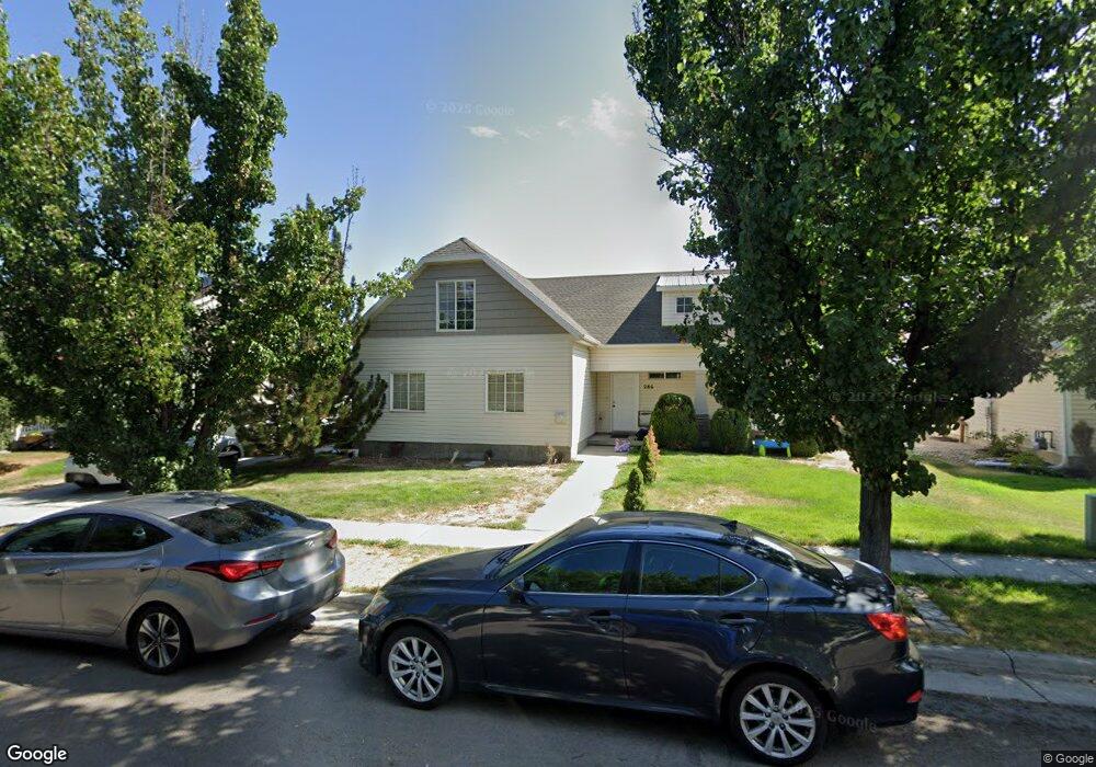
286 Dawson Ln Tooele, UT 84074
Estimated Value: $421,000 - $455,000
5
Beds
3
Baths
2,033
Sq Ft
$214/Sq Ft
Est. Value
About This Home
This home is located at 286 Dawson Ln, Tooele, UT 84074 and is currently estimated at $436,010, approximately $214 per square foot. 286 Dawson Ln is a home located in Tooele County with nearby schools including Overlake Elementary School, Clarke N. Johnsen Junior High School, and Stansbury High School.
Ownership History
Date
Name
Owned For
Owner Type
Purchase Details
Closed on
Apr 1, 2013
Sold by
Mcmahon David and Nymark Mcmahon Maria
Bought by
Wheat Melissa
Current Estimated Value
Home Financials for this Owner
Home Financials are based on the most recent Mortgage that was taken out on this home.
Original Mortgage
$147,600
Outstanding Balance
$104,515
Interest Rate
3.54%
Mortgage Type
New Conventional
Estimated Equity
$331,495
Purchase Details
Closed on
Jan 20, 2006
Sold by
Secured Property Assets Llc
Bought by
Mcmahon David and Nymark Mcmahon Maria
Purchase Details
Closed on
May 25, 2005
Sold by
Nielson David
Bought by
Secured Property Assets Llc
Home Financials for this Owner
Home Financials are based on the most recent Mortgage that was taken out on this home.
Original Mortgage
$228,800
Interest Rate
5.74%
Mortgage Type
Construction
Create a Home Valuation Report for This Property
The Home Valuation Report is an in-depth analysis detailing your home's value as well as a comparison with similar homes in the area
Home Values in the Area
Average Home Value in this Area
Purchase History
| Date | Buyer | Sale Price | Title Company |
|---|---|---|---|
| Wheat Melissa | -- | Security Title Insurance Age | |
| Mcmahon David | -- | Mountain View Title | |
| Secured Property Assets Llc | -- | Mountain View Title |
Source: Public Records
Mortgage History
| Date | Status | Borrower | Loan Amount |
|---|---|---|---|
| Open | Wheat Melissa | $147,600 | |
| Previous Owner | Secured Property Assets Llc | $228,800 |
Source: Public Records
Tax History Compared to Growth
Tax History
| Year | Tax Paid | Tax Assessment Tax Assessment Total Assessment is a certain percentage of the fair market value that is determined by local assessors to be the total taxable value of land and additions on the property. | Land | Improvement |
|---|---|---|---|---|
| 2025 | $2,679 | $215,954 | $57,063 | $158,891 |
| 2024 | $2,924 | $216,260 | $57,063 | $159,197 |
| 2023 | $2,924 | $213,480 | $54,342 | $159,138 |
| 2022 | $2,924 | $241,652 | $67,678 | $173,974 |
| 2021 | $2,392 | $164,285 | $21,691 | $142,594 |
| 2020 | $2,239 | $270,922 | $39,438 | $231,484 |
| 2019 | $2,170 | $259,899 | $39,438 | $220,461 |
| 2018 | $1,903 | $216,831 | $30,000 | $186,831 |
| 2017 | $1,518 | $204,608 | $30,000 | $174,608 |
| 2016 | $1,274 | $95,091 | $9,625 | $85,466 |
| 2015 | $1,274 | $90,356 | $0 | $0 |
| 2014 | -- | $108,697 | $0 | $0 |
Source: Public Records
Map
Nearby Homes
- 295 Drysdale Way
- 1581 Durocher Ln
- 1558 Durocher Ln
- 1568 Dawson Ln
- 1655 Cerroni Dr
- 1913 N 370 W
- 1969 N 270 W
- 1861 N 70 W Unit 616
- 437 W 1910 N Unit 317
- 1877 N 70 W Unit 618
- 1885 N 70 W Unit 619
- 1926 N 120 W
- 1893 N 70 W Unit 620
- 1901 N 70 W Unit 621
- 1909 N 70 W
- 81 W 1930 N
- 463 W 1910 N Unit 320
- 61 W 1570 N
- 452 W 1910 N Unit 314
- 69 1930 N
- 280 Dawson Ln
- 292 Dawson Ln
- 274 Dawson Ln
- 247 Dimaggio Dr
- 237 Dimaggio Dr
- 237 Dimaggio Dr Unit 193
- 294 Dawson Ln
- 285 Dawson Ln
- 291 Dawson Ln
- 281 Dawson Ln
- 257 Dimaggio Dr
- 266 Dawson Ln
- 297 Dawson Ln
- 275 Dawson Ln
- 238 Drysdale Way
- 304 Dawson Ln
- 309 Dawson Ln
- 271 Dimaggio Dr
- 318 Durocher Ln
- 318 Durocher Ln Unit 340