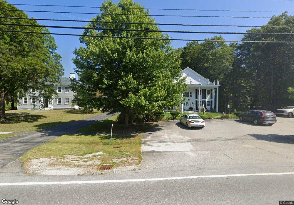
286 Main St Contoocook, NH 03229
Estimated Value: $702,682 - $777,000
2
Beds
3
Baths
3,467
Sq Ft
$212/Sq Ft
Est. Value
About This Home
This home is located at 286 Main St, Contoocook, NH 03229 and is currently estimated at $733,421, approximately $211 per square foot. 286 Main St is a home located in Merrimack County with nearby schools including Harold Martin School, Hopkinton Middle School, and The Beech Hill School.
Ownership History
Date
Name
Owned For
Owner Type
Purchase Details
Closed on
Oct 19, 2005
Sold by
Harrington James F
Bought by
Burrell Craig S and Burrell Rachael S J
Current Estimated Value
Home Financials for this Owner
Home Financials are based on the most recent Mortgage that was taken out on this home.
Original Mortgage
$264,000
Outstanding Balance
$58,140
Interest Rate
6%
Mortgage Type
Adjustable Rate Mortgage/ARM
Estimated Equity
$675,281
Create a Home Valuation Report for This Property
The Home Valuation Report is an in-depth analysis detailing your home's value as well as a comparison with similar homes in the area
Home Values in the Area
Average Home Value in this Area
Purchase History
| Date | Buyer | Sale Price | Title Company |
|---|---|---|---|
| Burrell Craig S | $330,000 | -- | |
| Burrell Craig S | $330,000 | -- |
Source: Public Records
Mortgage History
| Date | Status | Borrower | Loan Amount |
|---|---|---|---|
| Open | Burrell Craig S | $264,000 | |
| Closed | Burrell Craig S | $264,000 |
Source: Public Records
Tax History Compared to Growth
Tax History
| Year | Tax Paid | Tax Assessment Tax Assessment Total Assessment is a certain percentage of the fair market value that is determined by local assessors to be the total taxable value of land and additions on the property. | Land | Improvement |
|---|---|---|---|---|
| 2024 | $15,606 | $705,200 | $171,700 | $533,500 |
| 2023 | $14,164 | $399,200 | $86,700 | $312,500 |
| 2022 | $12,986 | $398,100 | $86,700 | $311,400 |
| 2020 | $10,612 | $398,100 | $86,700 | $311,400 |
| 2019 | $10,449 | $398,100 | $86,700 | $311,400 |
| 2018 | $11,029 | $313,400 | $52,200 | $261,200 |
| 2017 | $10,891 | $313,400 | $52,200 | $261,200 |
| 2016 | $10,515 | $313,400 | $52,200 | $261,200 |
| 2015 | $10,537 | $313,400 | $52,200 | $261,200 |
| 2014 | $10,146 | $311,600 | $52,200 | $259,400 |
| 2013 | $9,872 | $343,500 | $108,900 | $234,600 |
Source: Public Records
Map
Nearby Homes
- 102 Fieldstone Rd
- 89 Old Henniker Rd
- 541 South Rd
- 256 Irish Hill Rd
- 656 Dolly Rd
- 0 Bound Tree Rd Unit 50 5060705
- 464 Irish Hill Rd
- 256-0-17 Jewett Rd
- 455 Maple St
- 0 George Rd Unit 30
- 0 Farrington Corner Rd Unit 14
- 38 Woodwells Garrison Rd
- 108 Maple St
- 148 Broad Cove Dr
- 40 N Woods Rd
- 7 Currier Rd
- 167 Branch Londonderry Turnpike
- 356 E Penacook Rd
- I3-03-05 Clinton St
- 732 Concord Stage Rd Unit 5