286 Mckenzie Way Kalispell, MT 59901
Estimated Value: $702,000 - $918,000
3
Beds
2
Baths
2,000
Sq Ft
$390/Sq Ft
Est. Value
About This Home
This home is located at 286 Mckenzie Way, Kalispell, MT 59901 and is currently estimated at $780,119, approximately $390 per square foot. 286 Mckenzie Way is a home located in Flathead County with nearby schools including Lakeside Elementary School, Somers Middle School, and Flathead High School.
Ownership History
Date
Name
Owned For
Owner Type
Purchase Details
Closed on
Feb 2, 2017
Sold by
Miller Dawn R
Bought by
Speakman Michael David and Spekman Leann
Current Estimated Value
Purchase Details
Closed on
Aug 4, 2015
Sold by
Miller Joe W
Bought by
Miller Dawn R
Home Financials for this Owner
Home Financials are based on the most recent Mortgage that was taken out on this home.
Original Mortgage
$150,000
Interest Rate
3.98%
Mortgage Type
New Conventional
Purchase Details
Closed on
Jun 26, 2006
Sold by
Miller Joe W and Miller Dawn R
Bought by
Davey Amanda
Create a Home Valuation Report for This Property
The Home Valuation Report is an in-depth analysis detailing your home's value as well as a comparison with similar homes in the area
Purchase History
| Date | Buyer | Sale Price | Title Company |
|---|---|---|---|
| Speakman Michael David | -- | None Available | |
| Miller Dawn R | -- | First Title Of Montana | |
| Davey Amanda | -- | None Available |
Source: Public Records
Mortgage History
| Date | Status | Borrower | Loan Amount |
|---|---|---|---|
| Previous Owner | Miller Dawn R | $150,000 |
Source: Public Records
Tax History
| Year | Tax Paid | Tax Assessment Tax Assessment Total Assessment is a certain percentage of the fair market value that is determined by local assessors to be the total taxable value of land and additions on the property. | Land | Improvement |
|---|---|---|---|---|
| 2025 | $2,360 | $637,897 | $0 | $0 |
| 2024 | $2,825 | $499,706 | $0 | $0 |
| 2023 | $2,902 | $499,706 | $0 | $0 |
| 2022 | $3,026 | $409,006 | $0 | $0 |
| 2021 | $3,191 | $409,006 | $0 | $0 |
| 2020 | $3,027 | $370,139 | $0 | $0 |
| 2019 | $2,981 | $370,139 | $0 | $0 |
| 2018 | $2,758 | $325,647 | $0 | $0 |
| 2017 | $2,587 | $330,099 | $0 | $0 |
| 2016 | $2,501 | $328,542 | $0 | $0 |
| 2015 | $2,587 | $328,542 | $0 | $0 |
| 2014 | $2,460 | $196,106 | $0 | $0 |
Source: Public Records
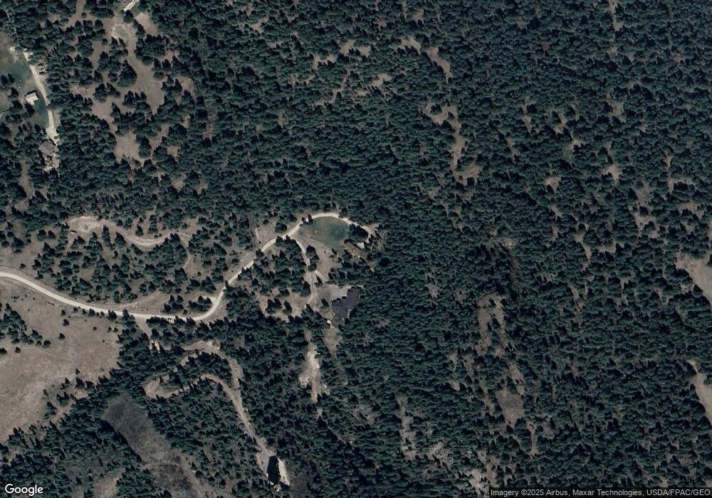
Map
Nearby Homes
- 783 White Basin Rd
- 126 Forest Hill Village
- 167 Dixie Ln
- 222 Forest Hill Village
- 311 Forest Hill Village
- 120 White Basin Ct
- 4199 Us Highway 93 S
- 151 Rocky Meadows Loop
- 1203 Pheasant Hollow Way
- 395 Buffalo Ln
- 436 Buffalo Ln
- 433, 437 & 439 Buffalo Trail
- 439 Buffalo Trail
- 433 Buffalo Trail
- 437 Buffalo Trail
- 445 Buffalo Trail
- NHN Montana 82
- Tr 8,9,10 Montana 82
- NKN Montana 82
- 1164 Montana 82
- 353 Shelter Valley Dr
- 316 Mckenzie Way
- 208 Mckenzie Way
- 351 Shelter Valley Dr
- 829 White Basin Rd
- 374 Shelter Valley Dr
- 841 White Basin Rd
- 347 Shelter Valley Dr
- 121 Forest Hill Rd
- 121 Forest Hill Rd
- 140 Mckenzie Way
- 4190 Us Highway 93 S
- 4180 Us Highway 93 S
- 122 Dixie Ln
- 154 Dixie Ln
- 4190 U S 93 S
- 138 Dixie Ln
- 334 Fir Terrace
- 890 White Basin Rd
- 362 Shelter Valley Dr
Your Personal Tour Guide
Ask me questions while you tour the home.