
Seller's Agent in 2025
Matt Gunder
Coldwell Banker Realty
(717) 729-8027
89 in this area
165 Total Sales

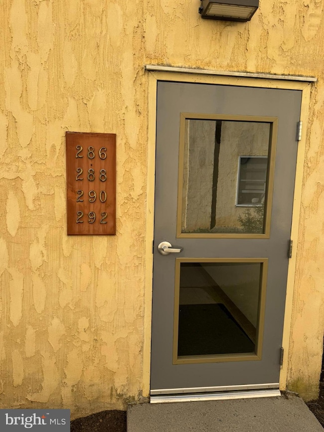
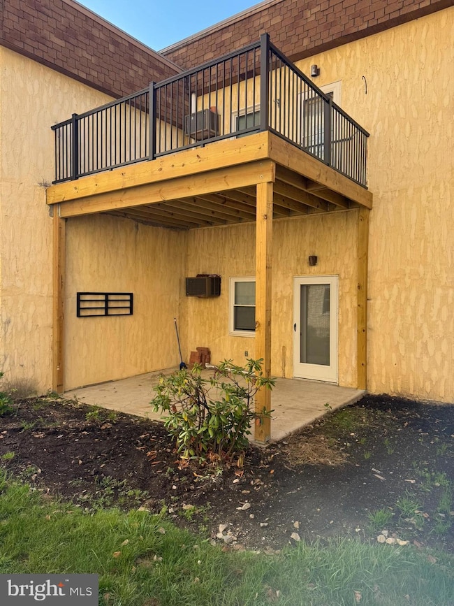
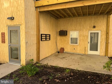
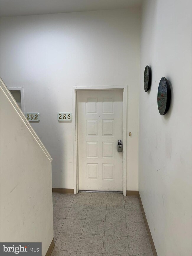
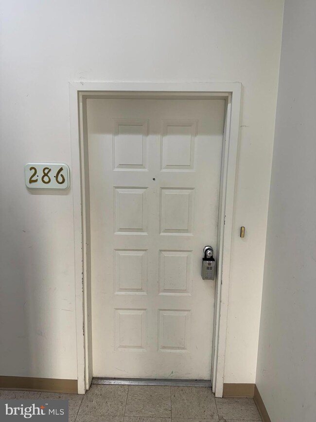
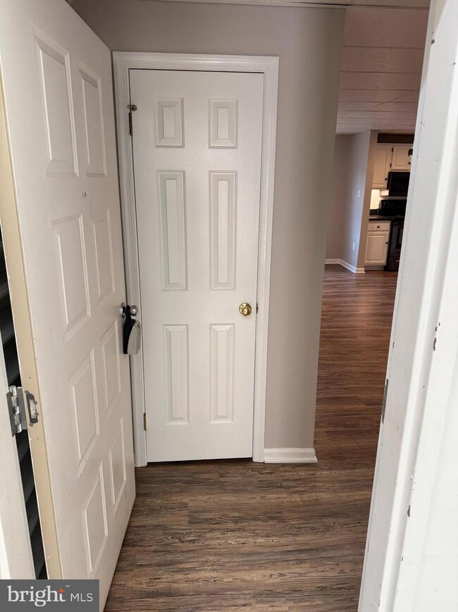
Easy First-Floor Living with Modern Upgrades! Welcome to this beautifully updated 2-bedroom, 1-bath condo in Waynesboro offering 1,008 sq. ft. of comfortable, low-maintenance living. Located on the first floor for easy access, this home features luxury vinyl plank flooring throughout, a fully remodeled kitchen and bath (2019), and tile flooring in the bathroom for a sleek, modern touch. Enjoy peace of mind with replacement windows (2020) and a new water heater, plus a secure storage unit for added convenience. The Condo Association handles exterior maintenance, including snow removal, lawn care, and a master insurance policy—making this an ideal choice for those seeking simplicity and efficiency. Whether you're downsizing, investing, or buying your first home, this move-in-ready condo is a smart and stylish option.
Last Agent to Sell the Property
(717) 729-8027 matt.gunder@cbhomes.com Coldwell Banker Realty License #599676 Listed on: 09/26/2025
Last Buyer's Agent
(717) 357-1135 joansidoli@aol.com Ronnie Martin Realty, Inc. License #RS300309
| Date | Type | Sale Price | Title Company |
|---|---|---|---|
| Deed | $136,375 | None Listed On Document | |
| Deed | $79,900 | None Available |
| Date | Status | Loan Amount | Loan Type |
|---|---|---|---|
| Previous Owner | $79,900 | New Conventional |
| Date | Event | Price | List to Sale | Price per Sq Ft |
|---|---|---|---|---|
| 11/03/2025 11/03/25 | Sold | $136,375 | +1.0% | $135 / Sq Ft |
| 10/01/2025 10/01/25 | Pending | -- | -- | -- |
| 09/26/2025 09/26/25 | For Sale | $135,000 | -- | $134 / Sq Ft |
| Year | Tax Paid | Tax Assessment Tax Assessment Total Assessment is a certain percentage of the fair market value that is determined by local assessors to be the total taxable value of land and additions on the property. | Land | Improvement |
|---|---|---|---|---|
| 2025 | $2,153 | $11,880 | $550 | $11,330 |
| 2024 | $2,100 | $11,880 | $550 | $11,330 |
| 2023 | $2,053 | $11,880 | $550 | $11,330 |
| 2022 | $1,988 | $11,880 | $550 | $11,330 |
| 2021 | $1,887 | $11,880 | $550 | $11,330 |
| 2020 | $1,872 | $11,880 | $550 | $11,330 |
| 2019 | $1,837 | $11,880 | $550 | $11,330 |
| 2018 | $1,733 | $11,880 | $550 | $11,330 |
| 2017 | $1,700 | $11,880 | $550 | $11,330 |
| 2016 | $340 | $11,880 | $550 | $11,330 |
| 2015 | $317 | $11,880 | $550 | $11,330 |
| 2014 | $317 | $11,880 | $550 | $11,330 |
Seller's Agent in 2025
Matt Gunder
Coldwell Banker Realty
(717) 729-8027
89 in this area
165 Total Sales
Buyer's Agent in 2025
Joan Sidoli
Ronnie Martin Realty, Inc.
(717) 357-1135
27 in this area
56 Total Sales
Source: Bright MLS
MLS Number: PAFL2030256
APN: 26-5C07-057-0286
Disclaimer: Certain information contained herein is derived from information provided by parties other than Homes.com. All information provided is deemed reliable, but is not guaranteed to be accurate and should be independently verified.
![]() The data relating to real estate for sale on this website appears in part through the BRIGHT Internet Data Exchange program, a voluntary cooperative exchange of property listing data between licensed real estate brokerage firms, and is provided by BRIGHT through a licensing agreement.
The data relating to real estate for sale on this website appears in part through the BRIGHT Internet Data Exchange program, a voluntary cooperative exchange of property listing data between licensed real estate brokerage firms, and is provided by BRIGHT through a licensing agreement.
Listing information is from various brokers who participate in the Bright MLS IDX program and not all listings may be visible on the site.
The property information being provided on or through the website is for the personal, non-commercial use of consumers and such information may not be used for any purpose other than to identify prospective properties consumers may be interested in purchasing.
Some properties which appear for sale on the website may no longer be available because they are for instance, under contract, sold or are no longer being offered for sale.
Property information displayed is deemed reliable but is not guaranteed.
Copyright 2025 Bright MLS, Inc.